Kununurra.
Great flight. It was so exciting to cross the border and knew that I had made it to Western Australia.
Karen met me at the airport and off we went – hitting the ground running.

The Grotto
A stunning deep gorge with a permanent waterhole. Only 127 steps but NASTY. Uneven huge steps with no and holds so had to use the rock as rails. But so worth the slog.
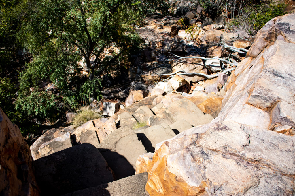
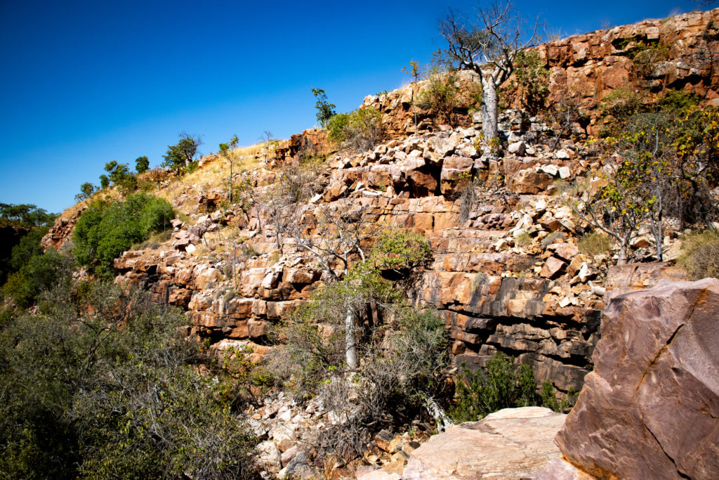
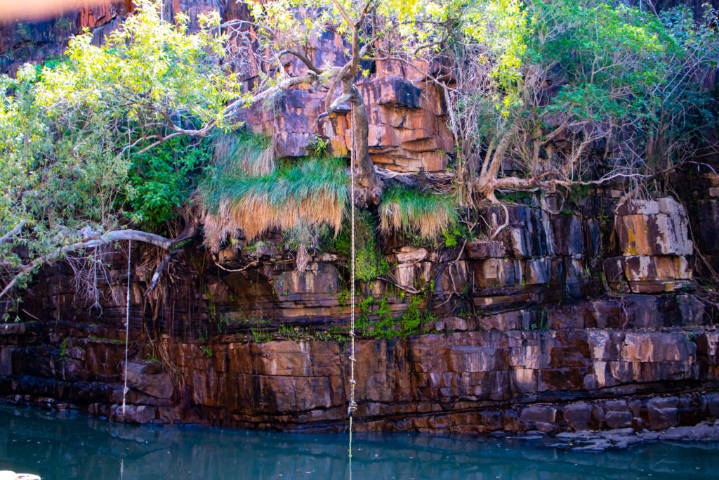
Cool and green down below. Beautiful.
Lots of fish and birds.
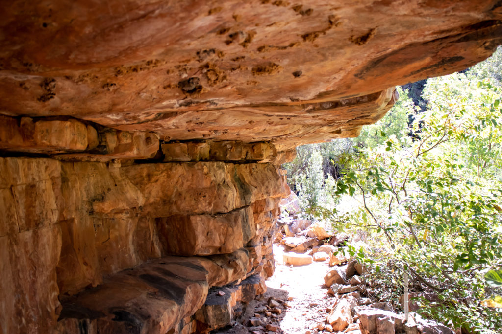
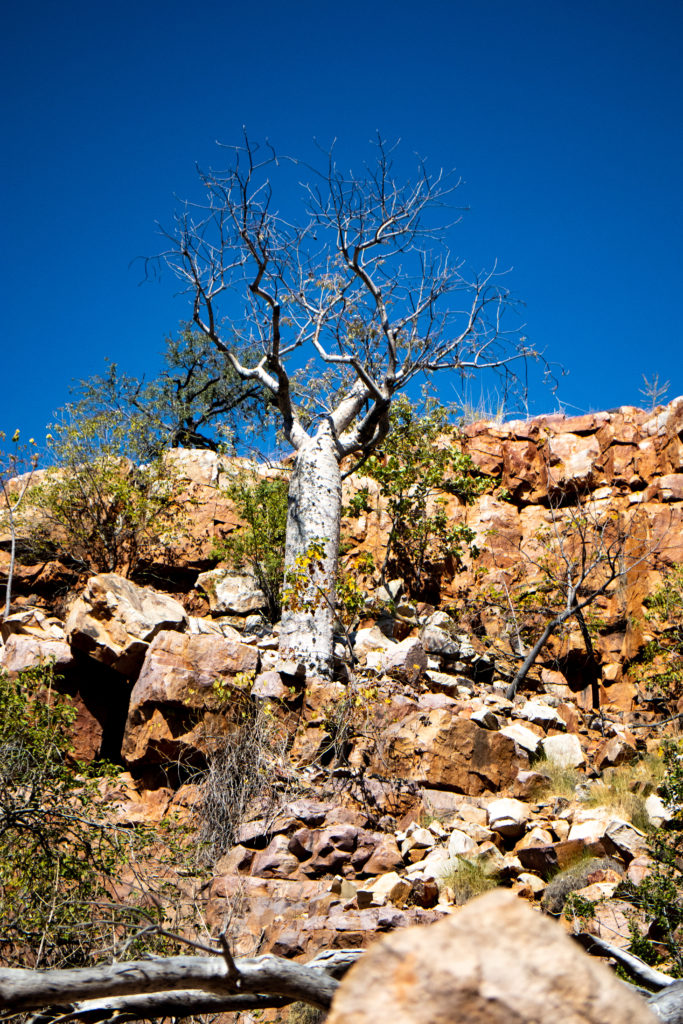
With giant Boabs growing out of the walls, in impossible places.
Wyndham
Wyndham is the northernmost town in the Kimberly region. 2,200ks north of Perth. It was established in 1886 to service the gold fields of Halls Creek. And then ad shipping for the growing cattle industry.
In 1942 the town and the aerodrome were attacked by the Japanese.
In the 1960’s it became a crucial part for establishing the Ord River project.
As mining increased the port again became important with the town growing.
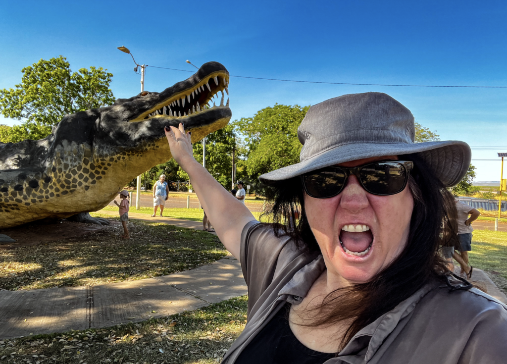
Visited the famous Big Croc. Not just big, Gigantic!
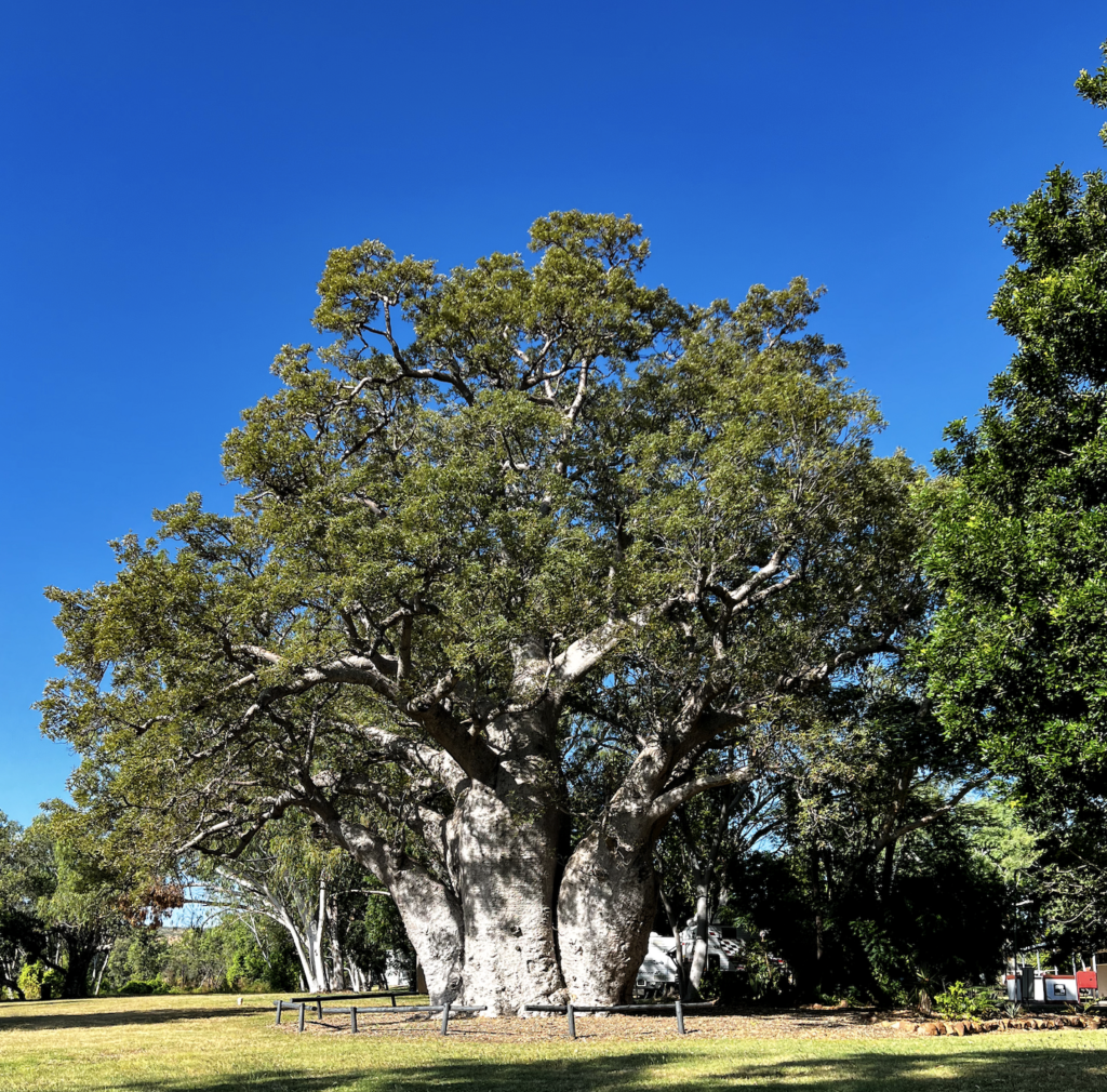
Biggest Boad… in captivity. It was impressive. Huge and tall.
5 Rivers lookout. Great views for so far.
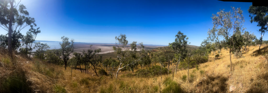
Cockburn Ranges and the Bastion Ranges. As they looked like castles.
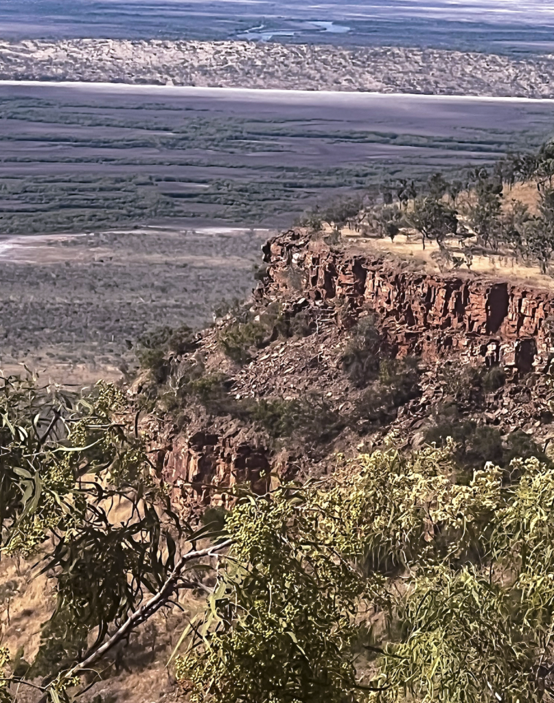
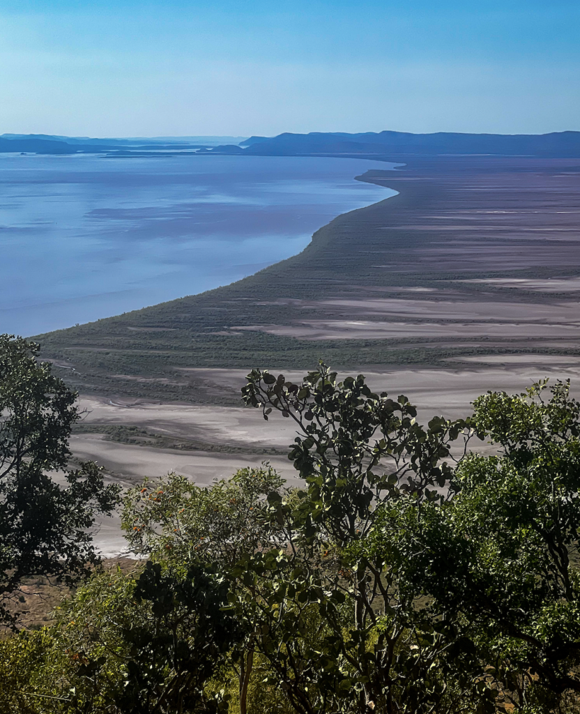
King River Road folows the King River Rd north of the Gibb River Road.
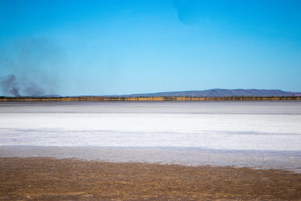
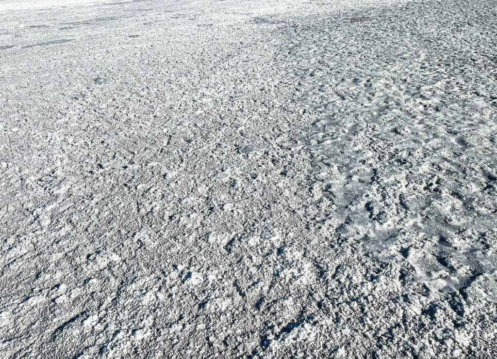
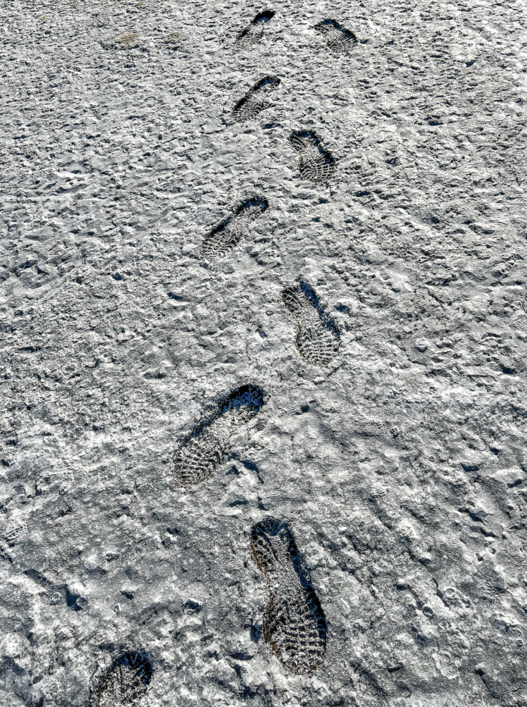
Salt pans. Awesome. Crunchy and squishy underneath the crust. So dazzling and white.
The famous Prison Tree…… Tourism tells us that it was used to house prisoners over night when travelling. Sounded weird.
Sadly, found out it was used to hold slaves. Indigenous people who had been captured and sold. Stunning tree but wow!
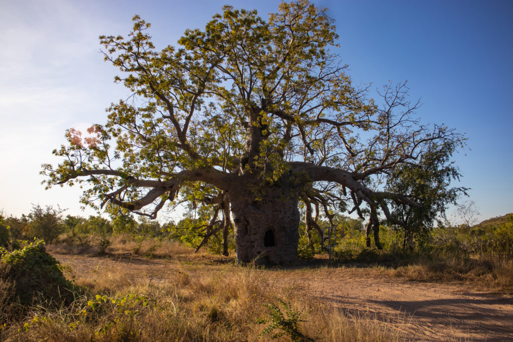
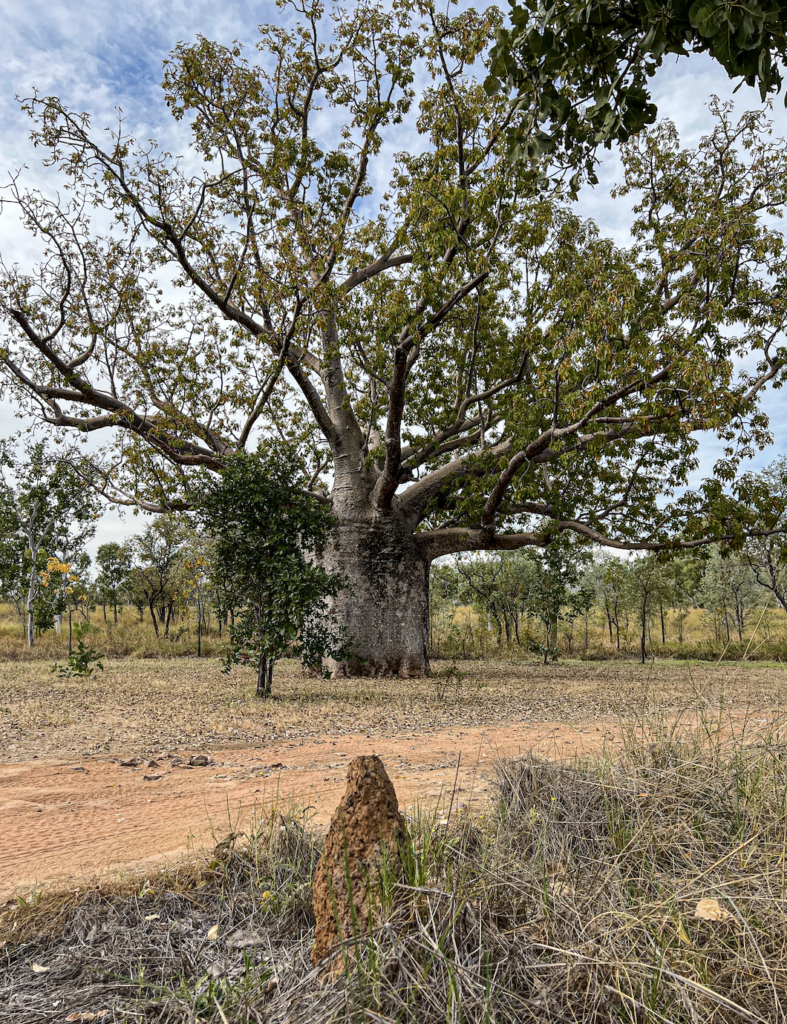
When mature they form a bulbous shape. They are hollow in the middle and lined with a very fibrinous material that holds water. The older they are the more squat the bulb.
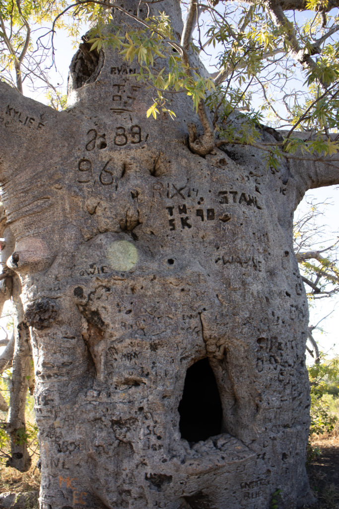
The bark is amazing. Very thick with a flaky outside. Perfect for fools to carve their names into.
Stockmen from as far back as when cattle were driven through the area used the trees to send messages to other stockmen “water 5 miles east”.
Up close it was hard to believe the bark was not granite.
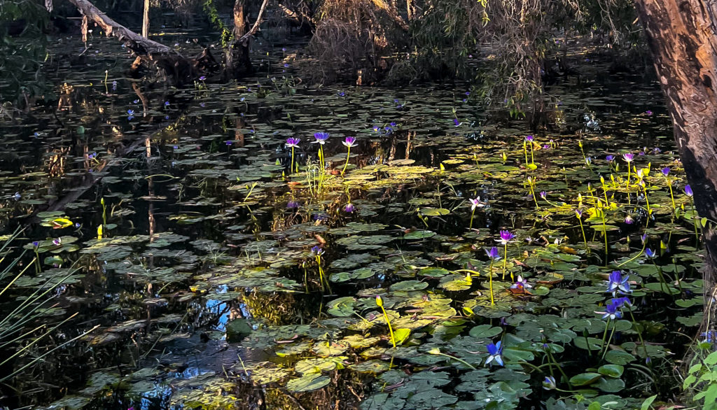
Great billabongs and lagoons were spread along the King River. Full of lily’s and flocks of birds. We saw large flocks of Gouldian Finches and many Rainbow Bee Eaters.
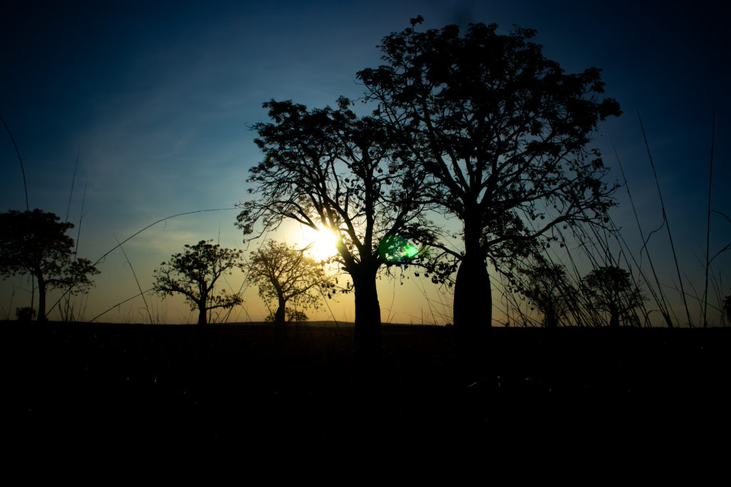
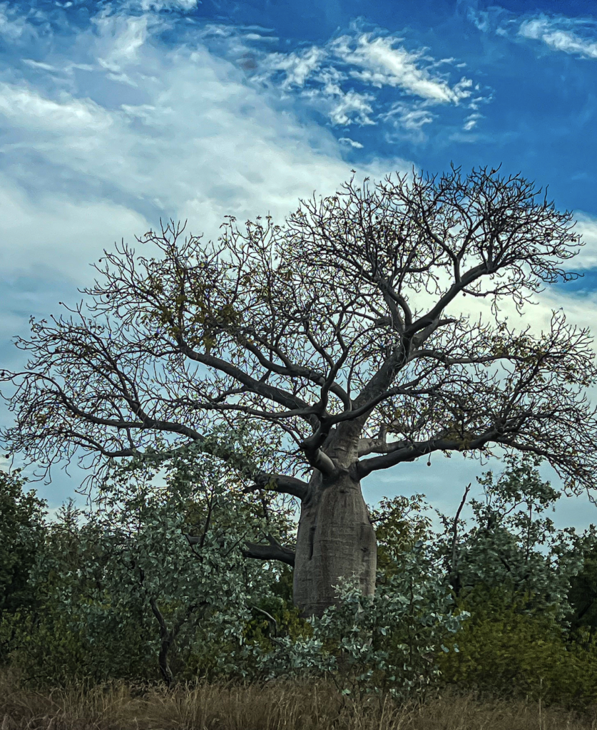
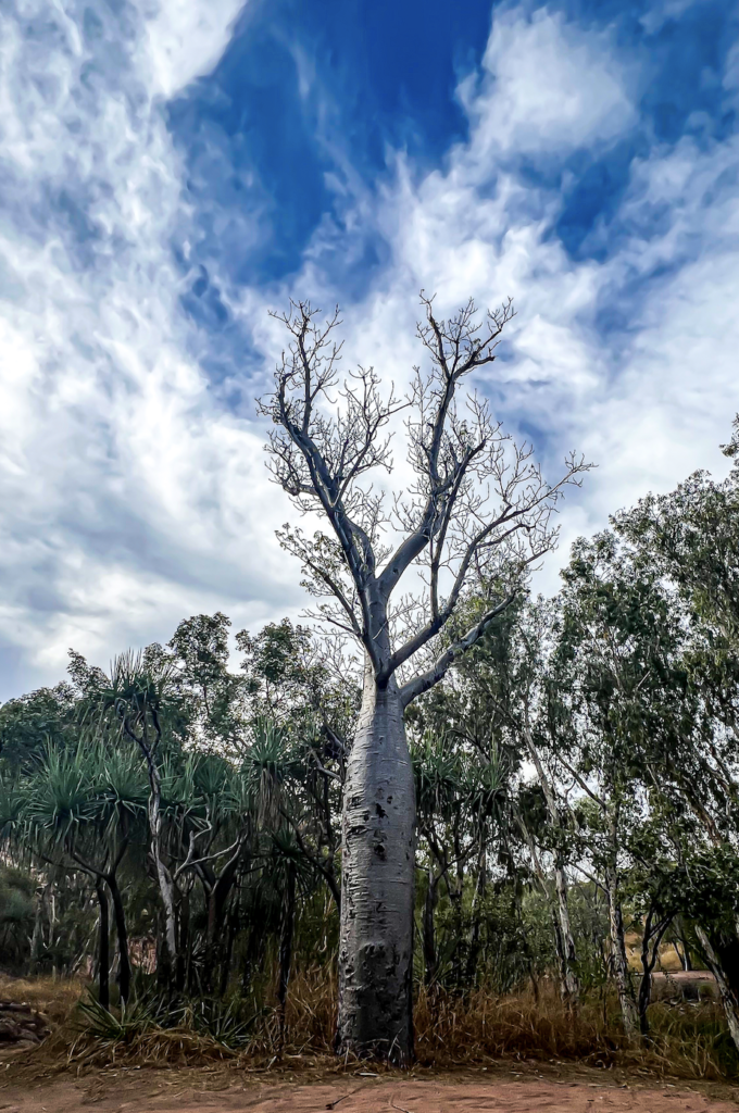
And many Boad Trees, which are stunning.
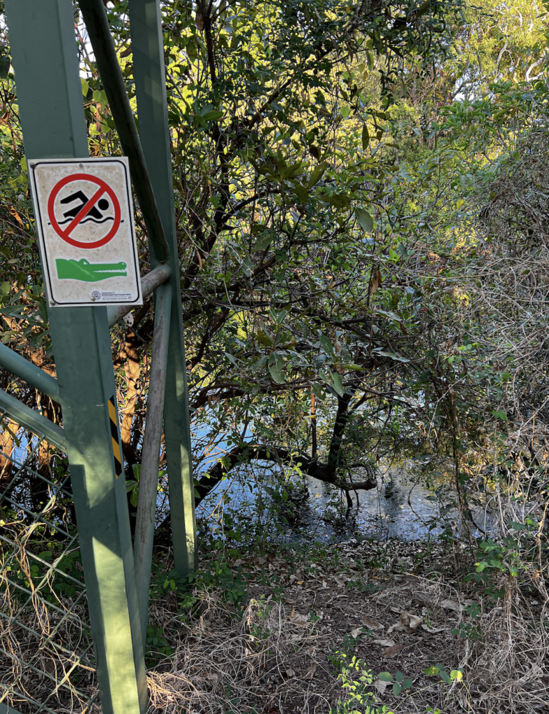
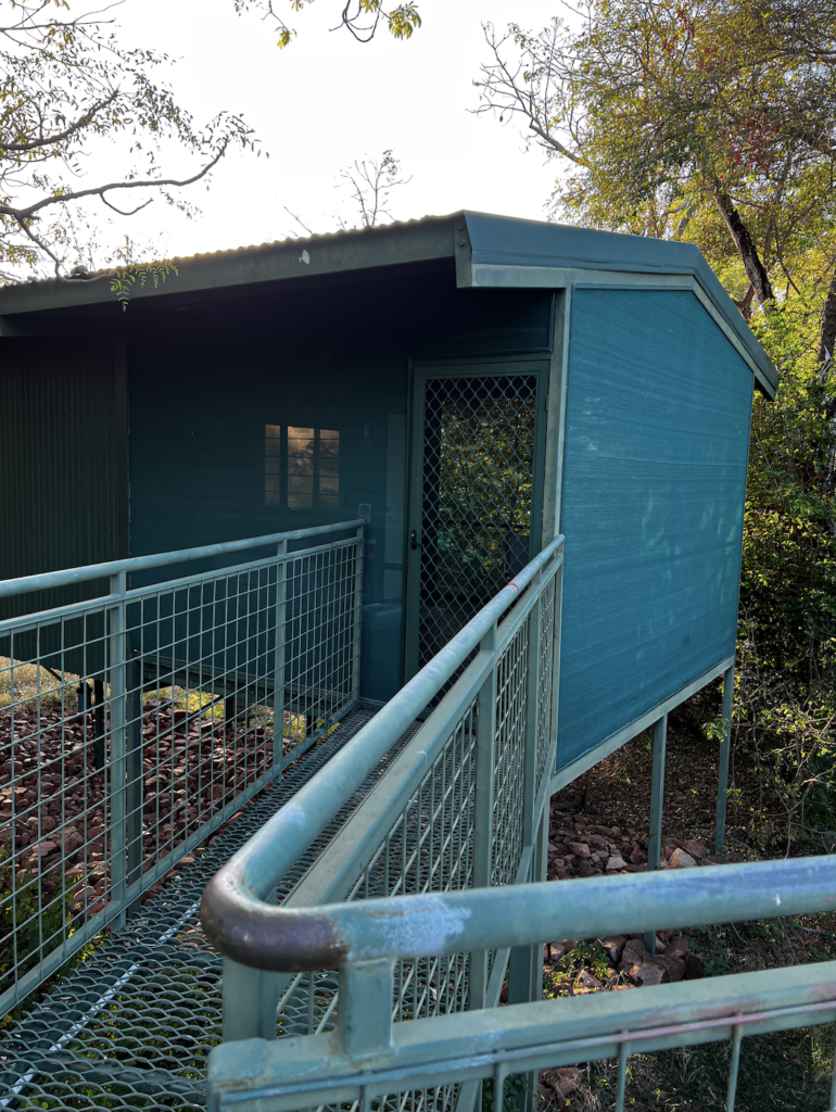
That night was at Parry Lagoon Farm Tourist Resort. A lovely outback type set up with raised accommodation. All up on stilts and joined with metal walkways over the Lagoon.
Needless to say the insect life was healthy. As dusk hit, you had to walk through swarms of things. Down below we could hear lizards, or crocs, or dragons catching and eating things.
The rooms were well sealed and had insect screen sitting rooms off them. It was great to watch the geckos and huntsmen waiting for dinner.
New owners had recently taken over and had poached a great chef. Dinner was awesome.
THURSDAY 26th Parry Lagoon to Kununurra
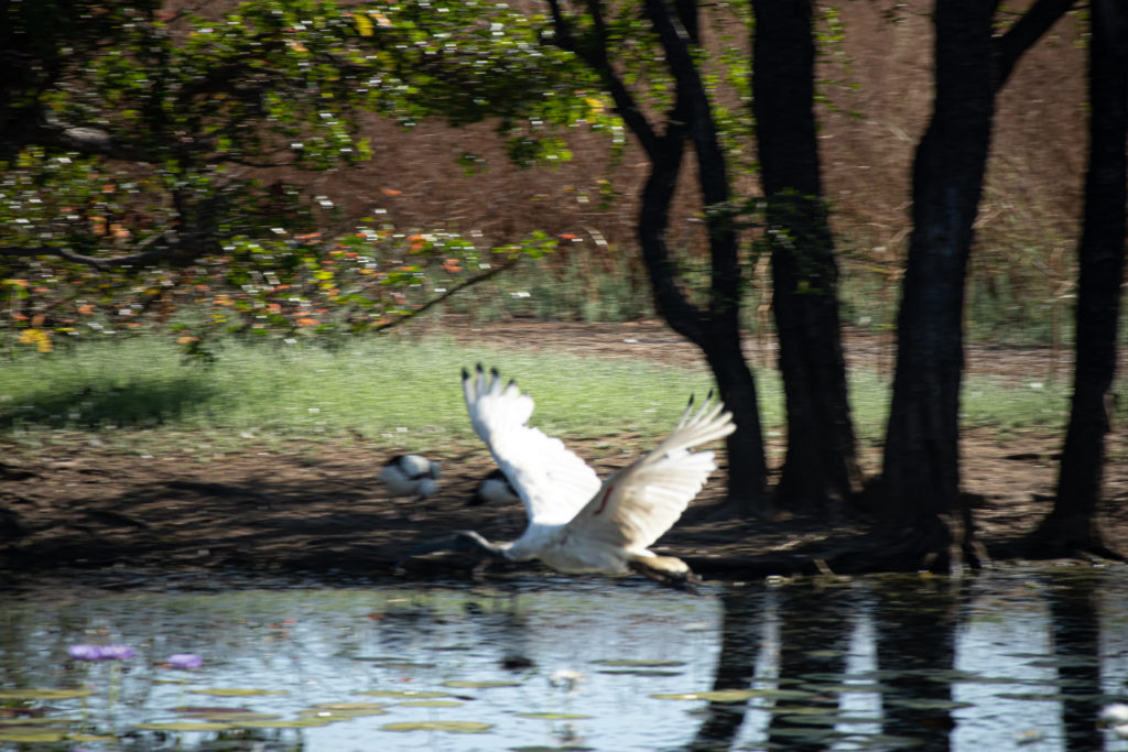
The day started with an early get up to join a bird tour down to Marlgu Billabong.
Our group leaders were Alfie and Phil.
Phil was born on the Sunshine coast in the 90s, and yes his parents were Bronco fans.
Alfie talked about his ‘land ties’ and the importance of them.
Then Phil talked about himself. His dads parents where from the snake country and the crocodile country. Among other things he cannot eat snake of crocodile.
His mother was a stolen child. They have no idea where she was stolen from, so a huge part of her very being is missing. And of his. He said it does hurt.
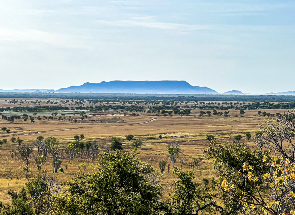
Our second stop was on Telegraph Hill. The ruin of the telegraph station built in 1914 to assist with shipping in to Wyndham. The real claim was the view 360 degree views over the Ord River flood plains and Parry Creek. Stunning.
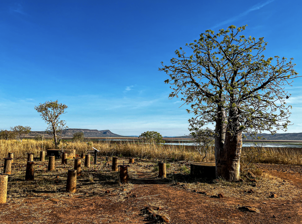
We were told the creation story of Boad Trees. Tree god created the Boad to be the most beautiful of all the trees. But Boad became too proud and boasted to all the world. He became unbearable. He believed he was better than the gods. Eventually the tree god became angry and fed up. During the night when Boad was sleeping, she grabbed him. Turned him upside down and pushed him into the ground, leaving his ugly roots on top.
As with all creation stories there is a moral and a lesson attached. This was to remain humble. To not be too proud.
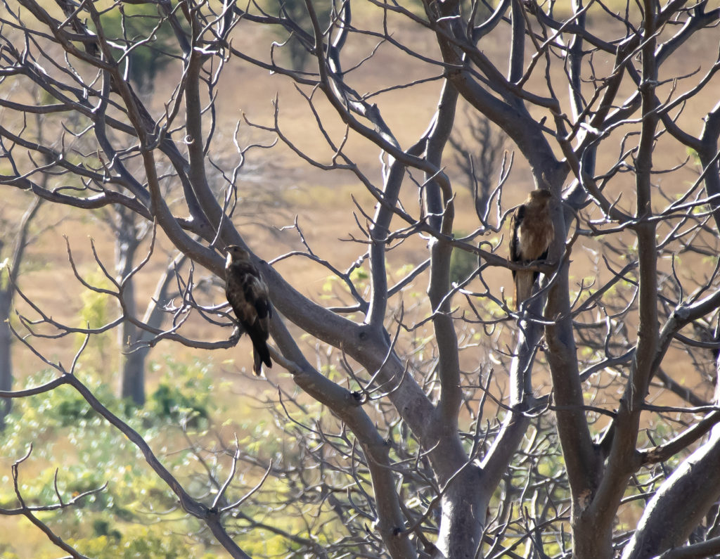
Wonderful. A really beautiful set of raised walking tracks and a hide. And so many birds.
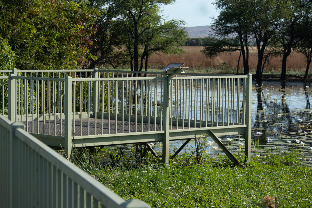
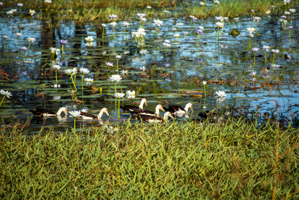
Back to the accommodation to get our gear and move on.
El Questro was next. I had a day tour booked there but it was cancelled due to COIVD staff shortages.
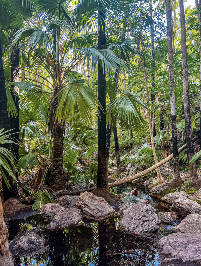
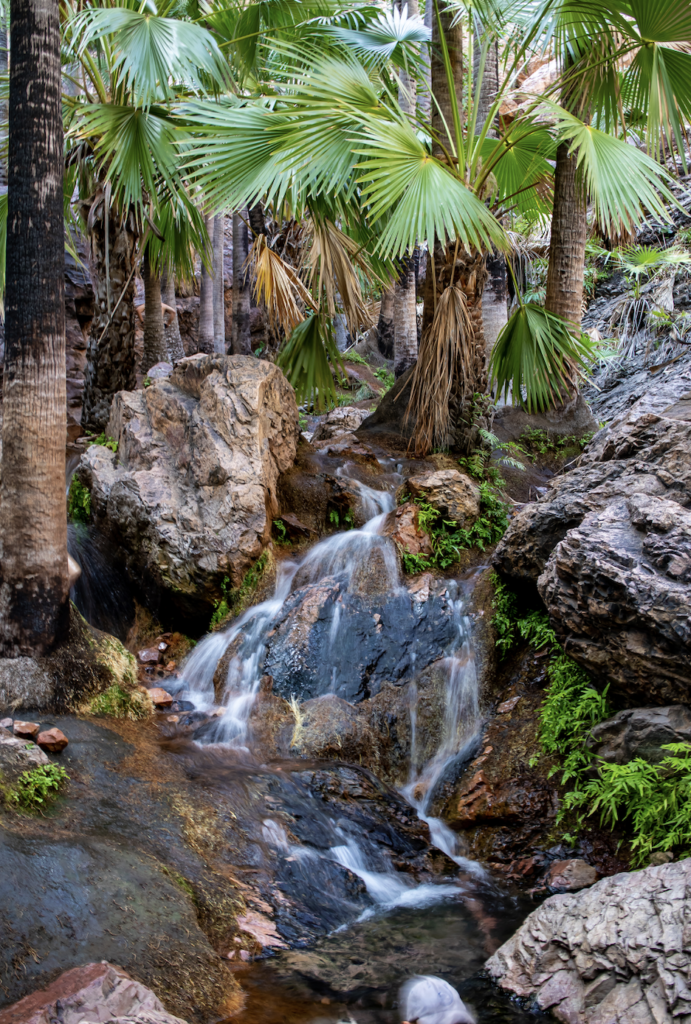
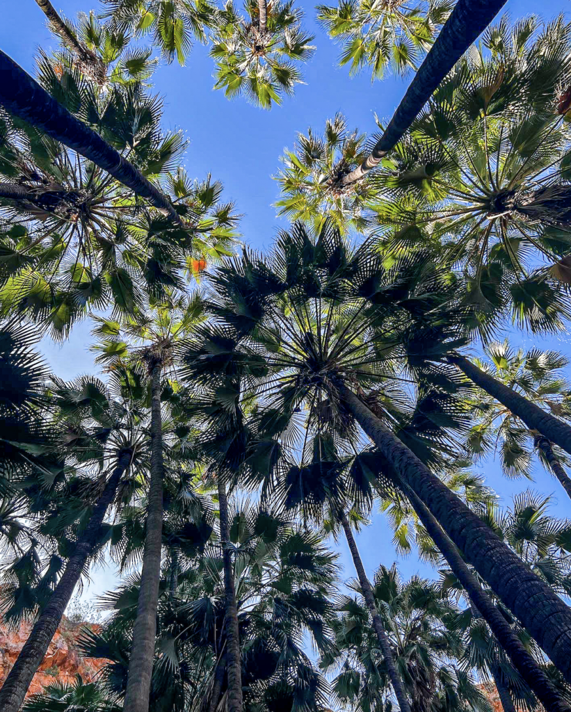
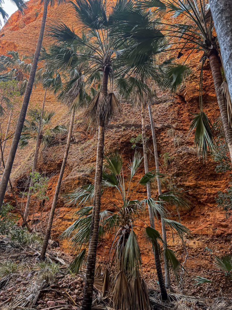
Zebedee Springs. A very civilized short walk in through cool tropical savannah woodland. And into the Livistona Forest. The palms that grow to 8 meters and form a beautiful canopy. These palms thrive at the springs and have grown here for thousands of years.
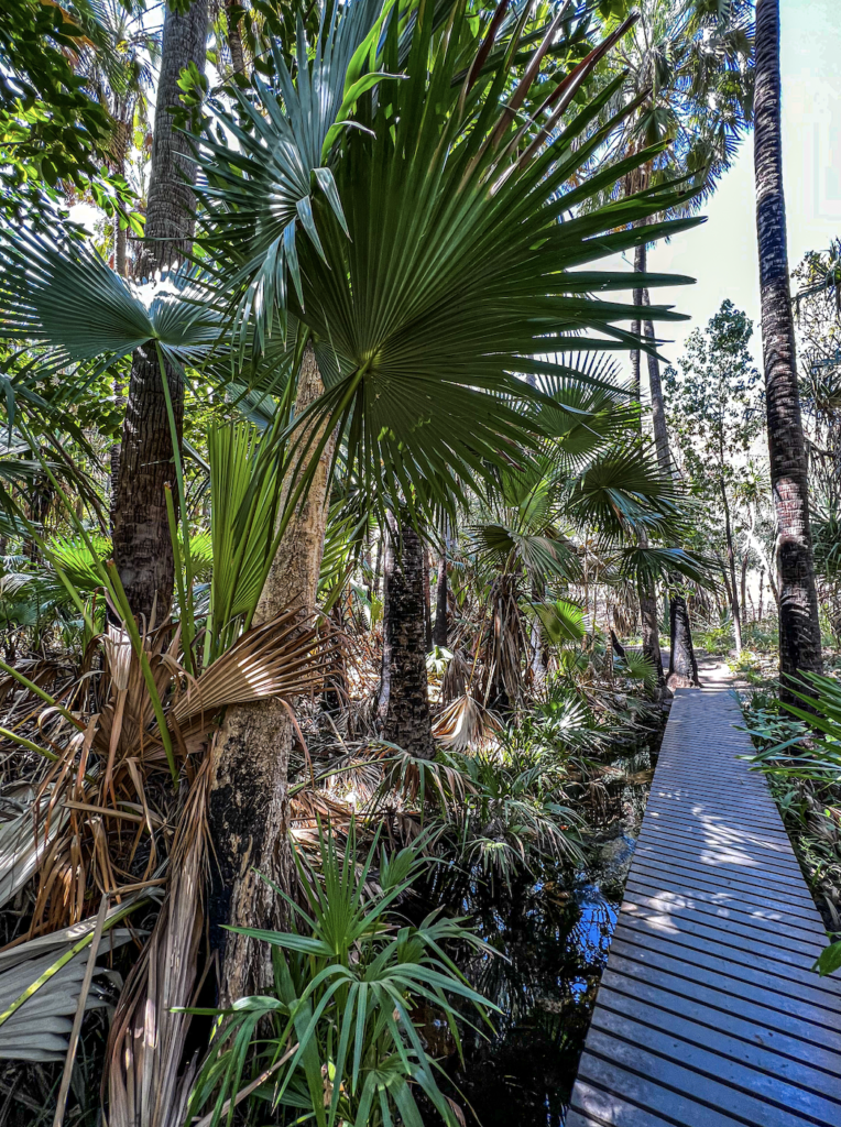
The palms grow around the many shallow pools and giant rocks. All is surrounded by stunning red cliffs. The small pools make private bathing area. You would swear it was designed and planted out by a landscape architect for a ritzy up market hotel.

After a snack at El Questro Resort we headed off up Pigeon Lookout. Up a very “low 4” road. Great views.
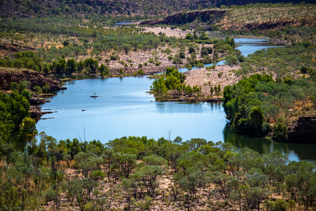
And then out along the GBR – The Gibb River Road.
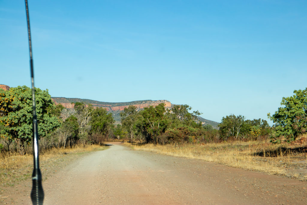
Crossed the famous Pentecost River Crossing.
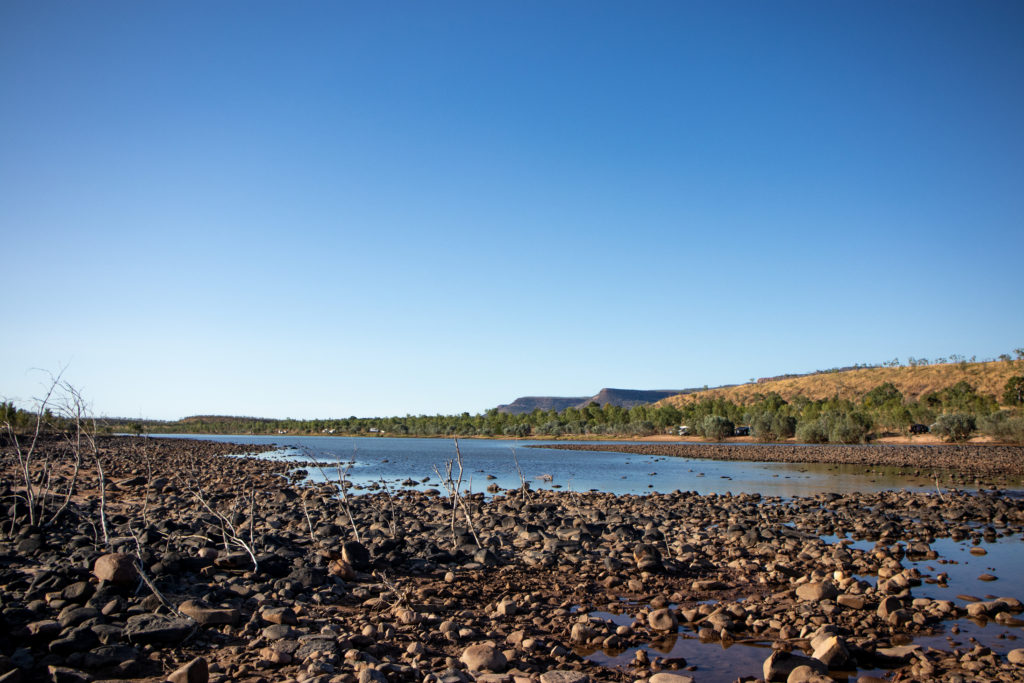
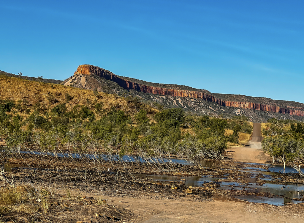
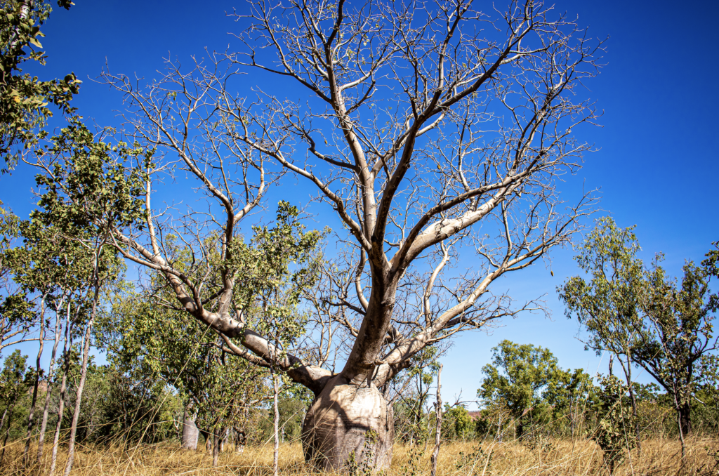
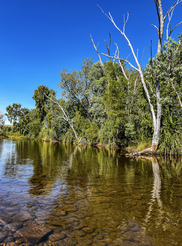
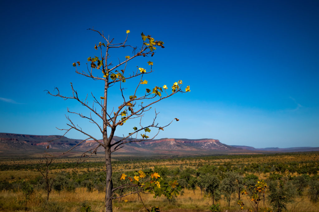
Stopped at a few beautiful lookouts with views over the Cockburn Ranges.
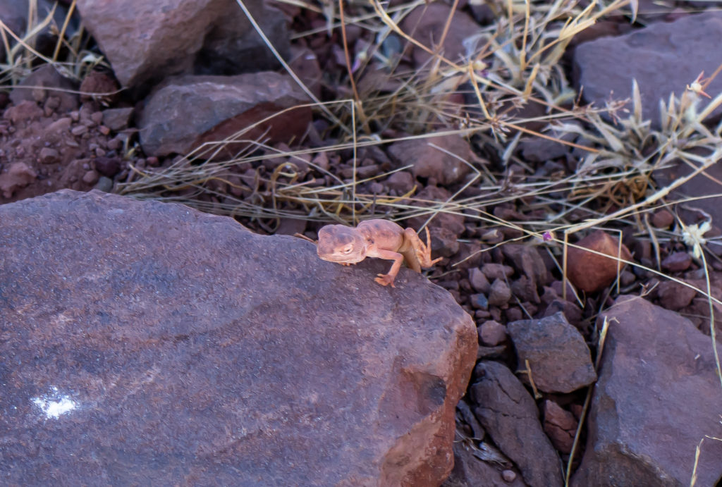
A tiny lizard visited us. Fine and dainty with sleepy eyes and giant toes. It was sooo fast when it ran and seemed to go up on its back legs. We joked about it being a baby dragon – with its big eyes. From research I think it is Ctenophorus Caudicinctus AKA the Ring-Tailed Dragon.
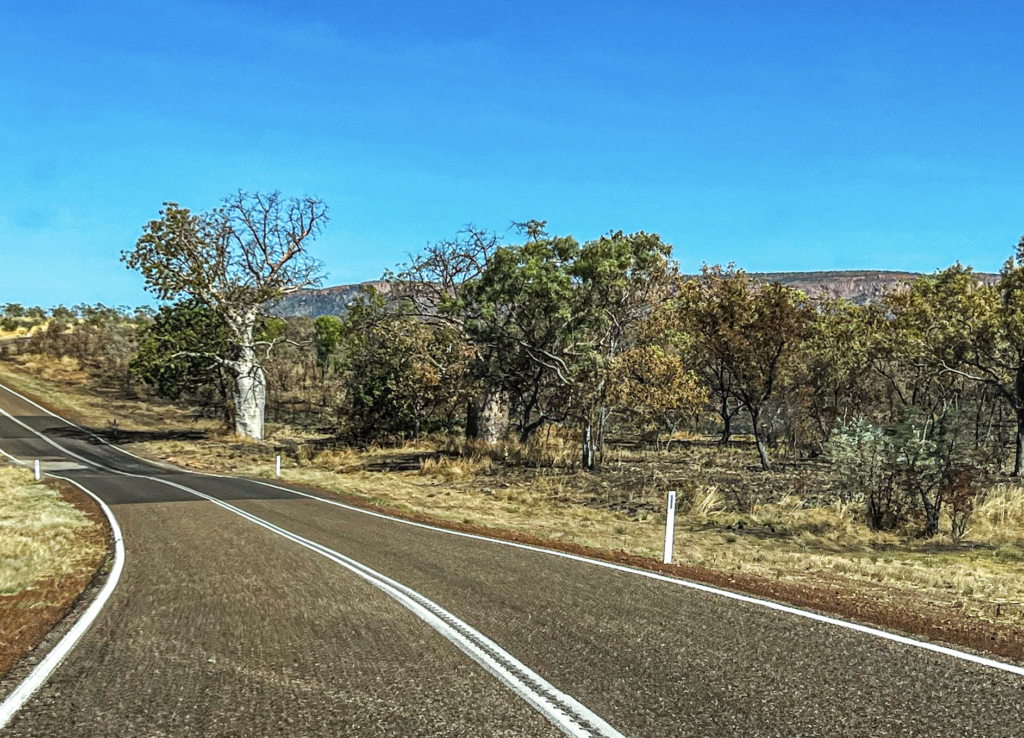
We were in search of an amazing waterhole that we had heard of. With vague instructions. We didn’t even have a name. Just that it was a car park 9 ks past a crossing.
Eventually we found a small parking sign. So looked there. And there was the incredible Bindoola Falls. Turns out it is a place that Home Valley Station, an accommodation place on the GBR took people too. But since they have been closed for two years (thanks COVID) it has been forgotten.
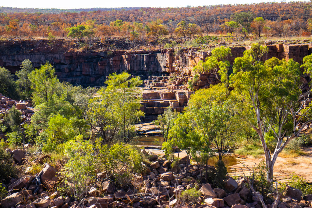
One kilometre off the road is this amazing waterhole at the bottom of 100 metre sandstone cliffs.
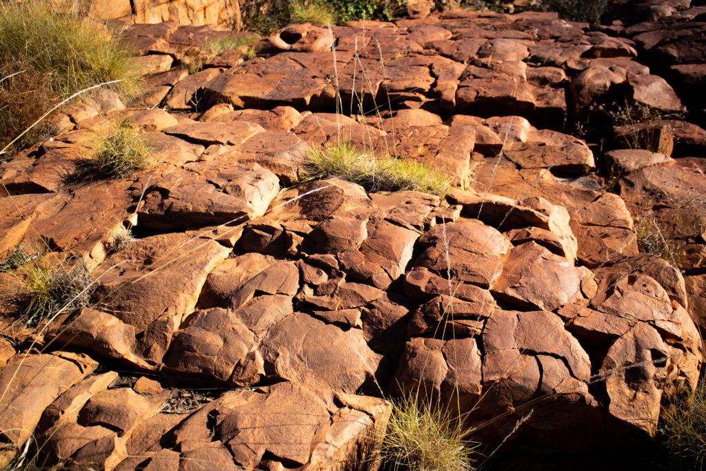
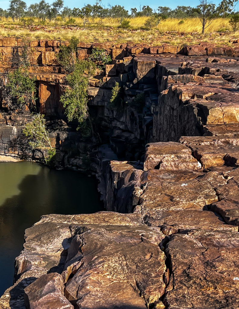
Another place where you cannot believe that nature formed this without a plan. A huge crater like hole surrounded by the most awesome cliffs and square boulders. There was no water flowing over the wall but plenty below with crocs and archer fish. You didn’t realise how big the cliffs were until you saw the size of the trees below.
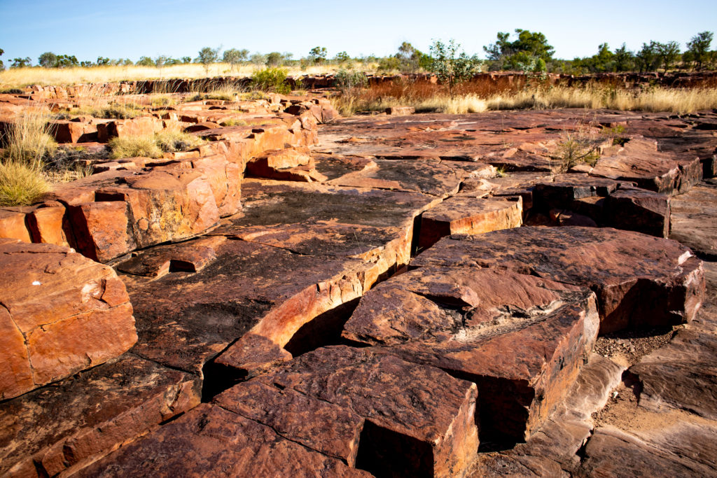
There was plenty of water in shallow pools at the top.
We also saw more of our little dragons.
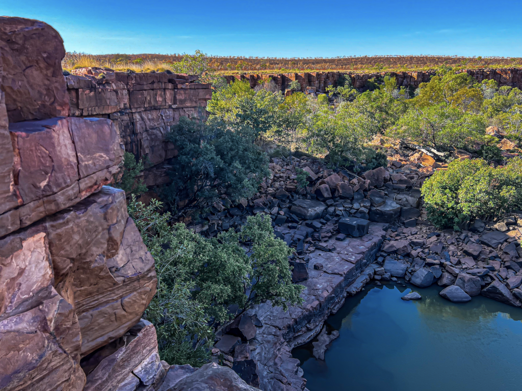
As we headed back along the GRR we got amazing views of the Cockburn Ranges. Catching the sun and glowing orange. Stunning.
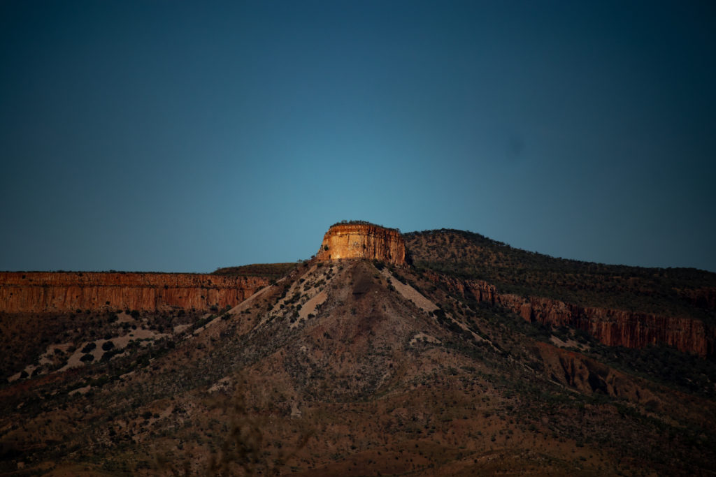
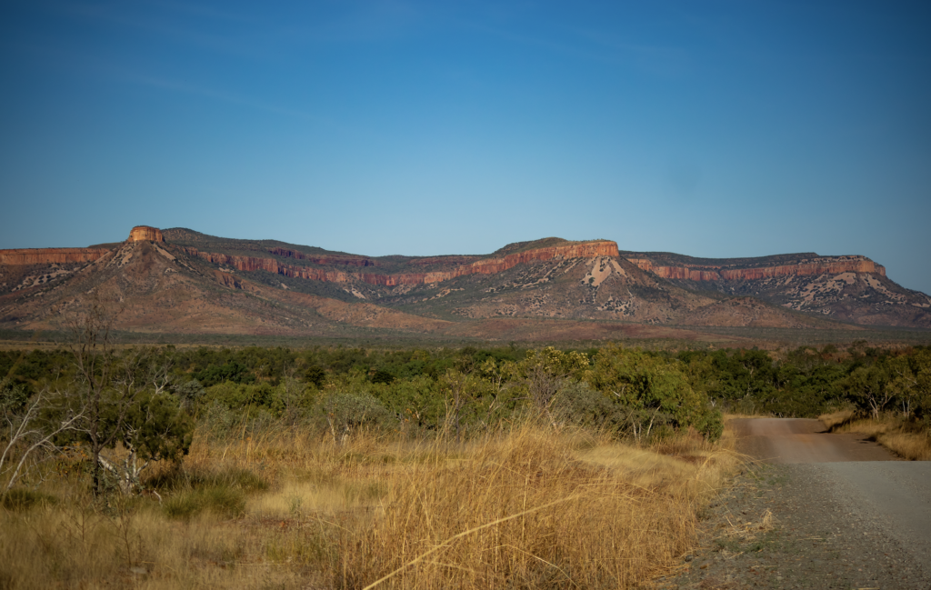
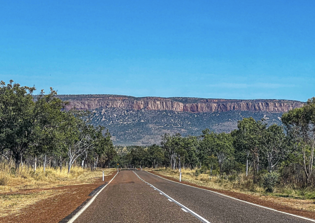
Another great day.
Friday 27th May
Mirima
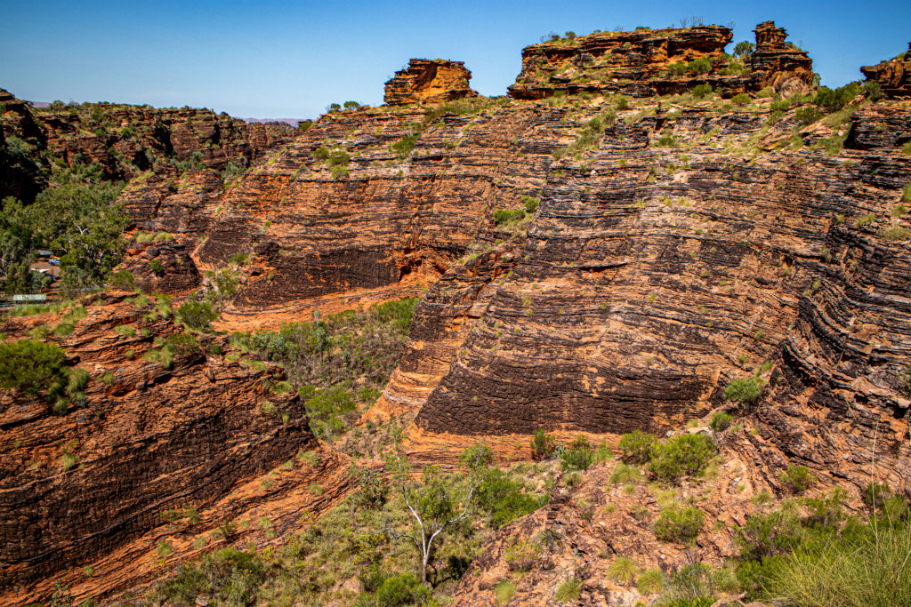
Just north of Kununurra is Mirima National park. The park is a significant place for the local Miriuwung people.
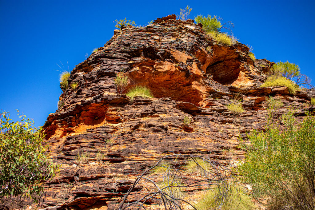
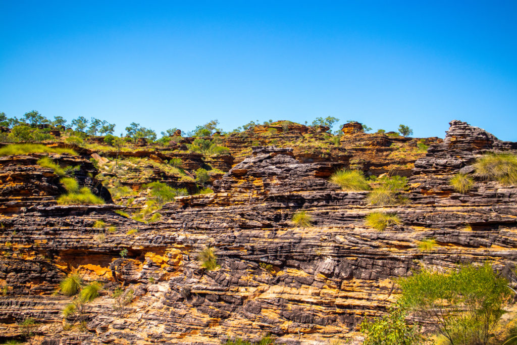
These amazing sandstone rock formations were deposited up to 350 million years ago.
The walking trails ( and many staircases) are fantastic. And the structures are made to blend into the area with orange cement and shade sails.
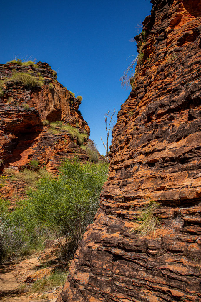
Then out to Ivanhoe crossing, a concrete causeway crossing the Ord River. It was originally the Kunnunurra to Wyndham road. The Ord flows all year round so it always has water on it. The levels and pressures do change. Today it was nice.
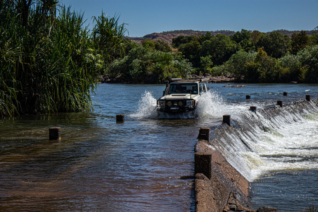
It’s a great sport for Barramundi fishing…. So therefore a great spot for Crocs. Salties. A few days ago a Jack Russel was taken by a big croc. While on the lead. Right were the peoples are standing in one of these photos.
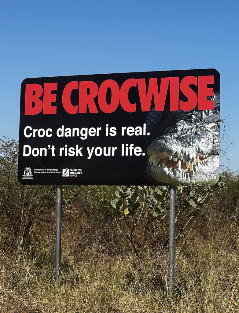
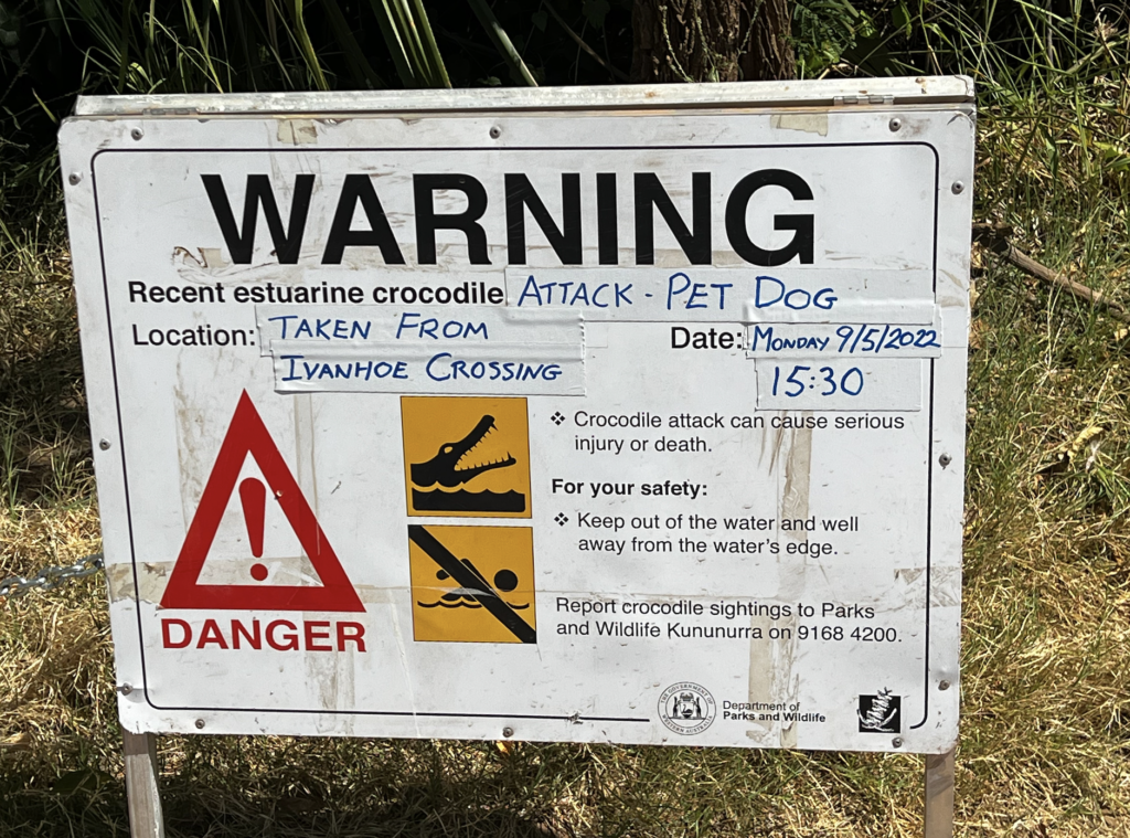
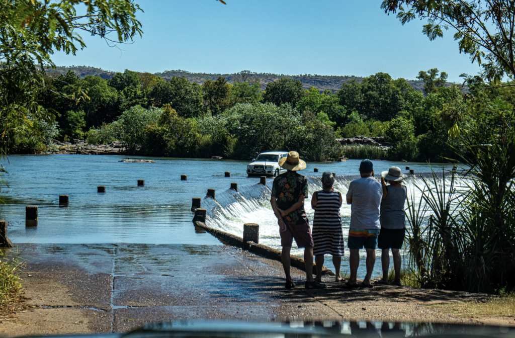
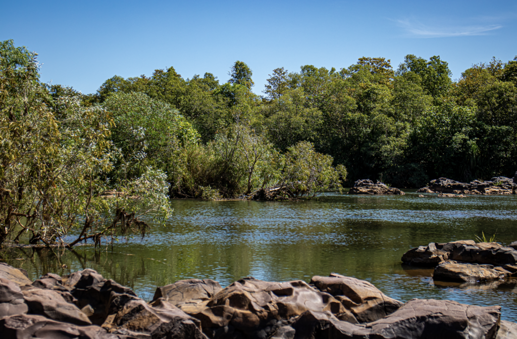
I didn’t go near the water! But we did have fun driving across.
Zebra rock is a very amazing fine-grained siliceous argillite (formed from silt) with patterns of red bands or spots on a white/grey background.
It was formed by layers containing different amounts of, or not, ferric (iron) oxide. The sported version was formed by ‘acid rain’ falling in volcanic eruptions.
The age of Zebra Rock has been placed at 600 million years in the Upper Proterozoic era or Pre-Cambrian period.
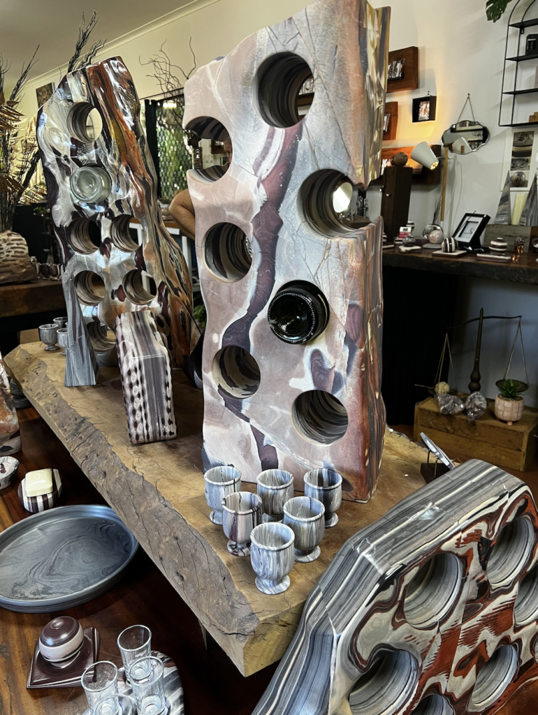
The only known deposits of Zebra Rock in the world have been found near Kununurra in the East Kimberley region of Western Australia.
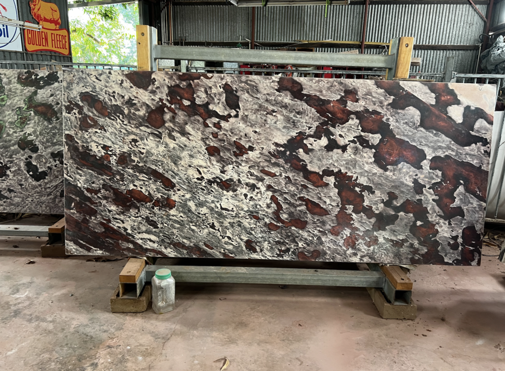
We visited a factory that processes and makes products. The large slabs were around $30,000. Some of the pieces were fantastic.
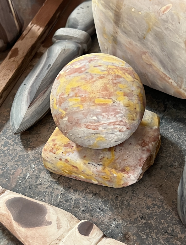
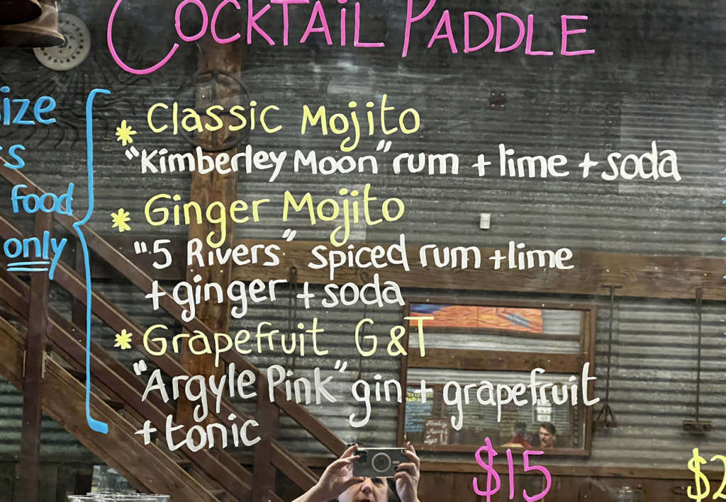
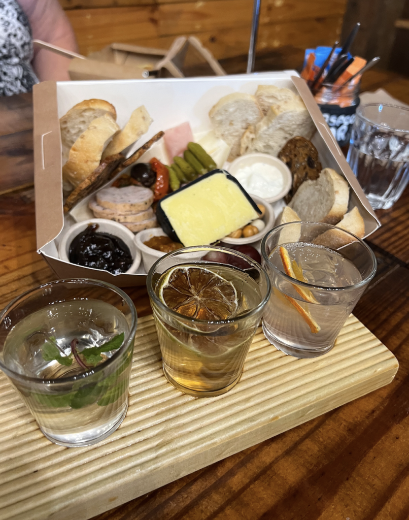
A visit to the ‘Hoochery Distillery’ was fun.
In 1972 ‘Spike’ Dessert lll settled in the area. In 1995 he decided to take the governments advise for farmers to diversify seriously. Based on the starting sugar industry he started a distillery. Now the oldest continuously operating and legal still in WA.
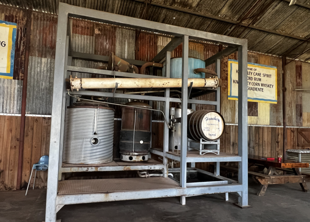
The tasting plate of cocktails was fun.
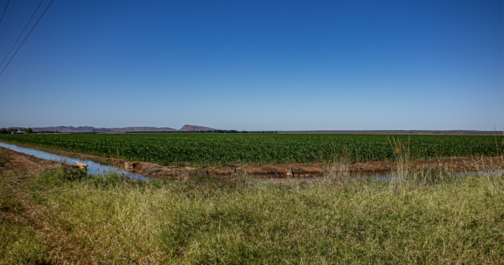
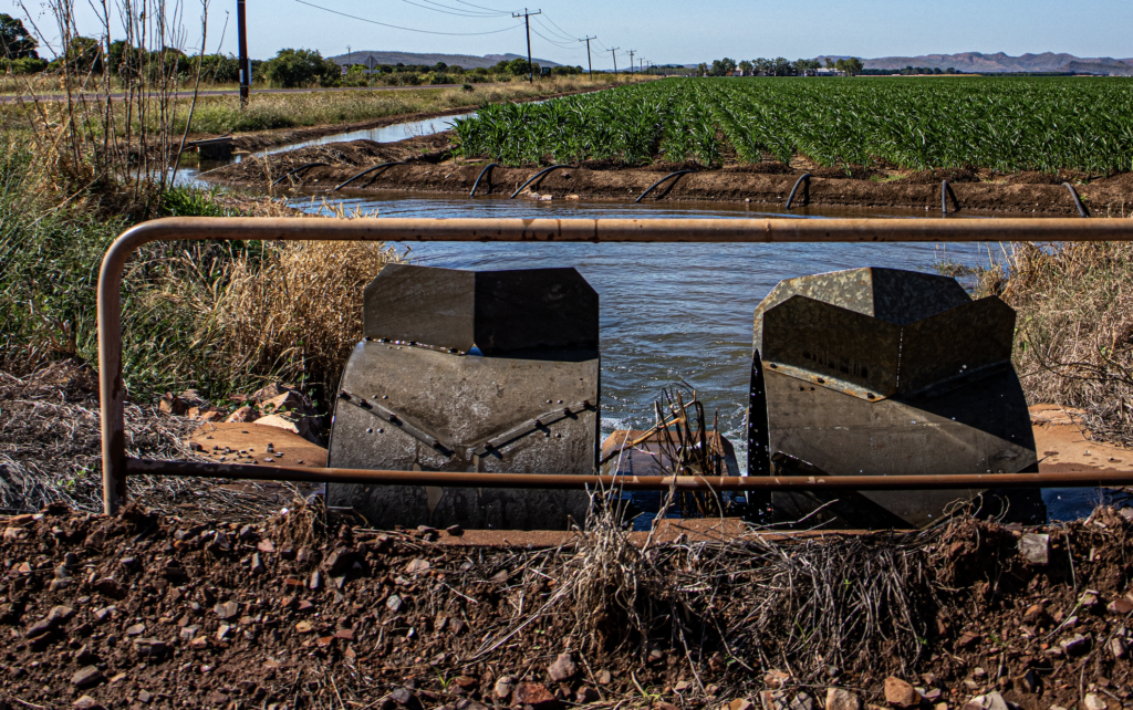
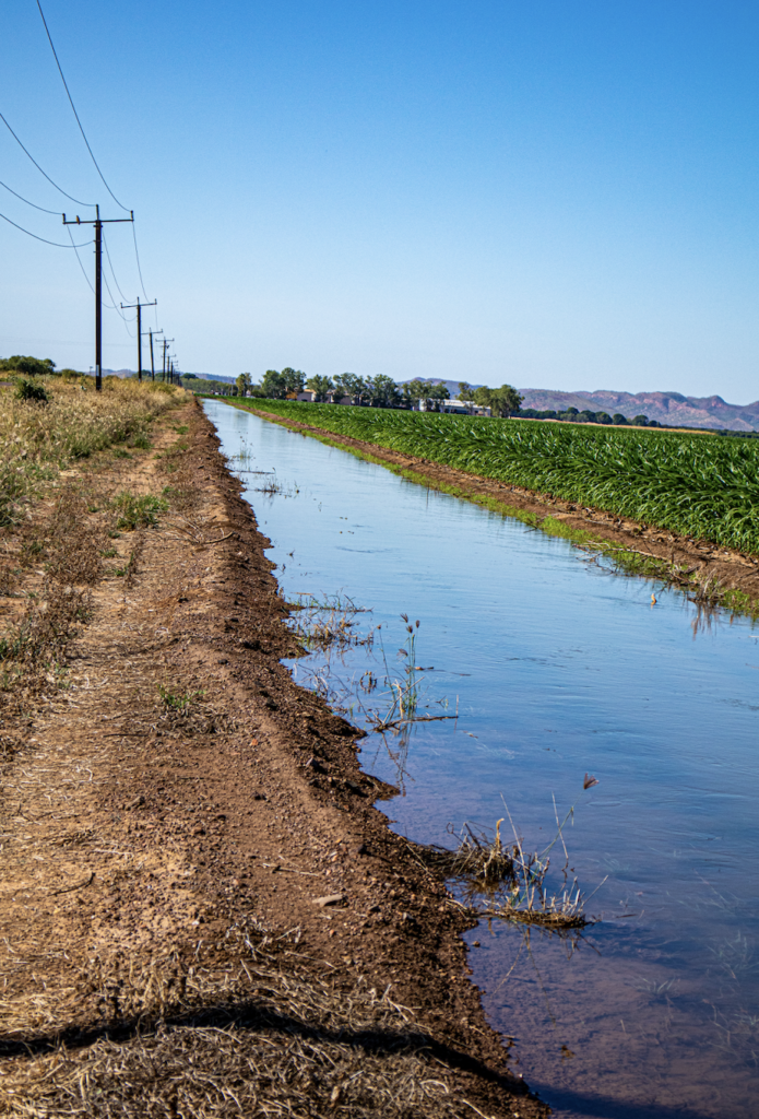
Of course i had to stop and look at the irrigation set ups. So cool.

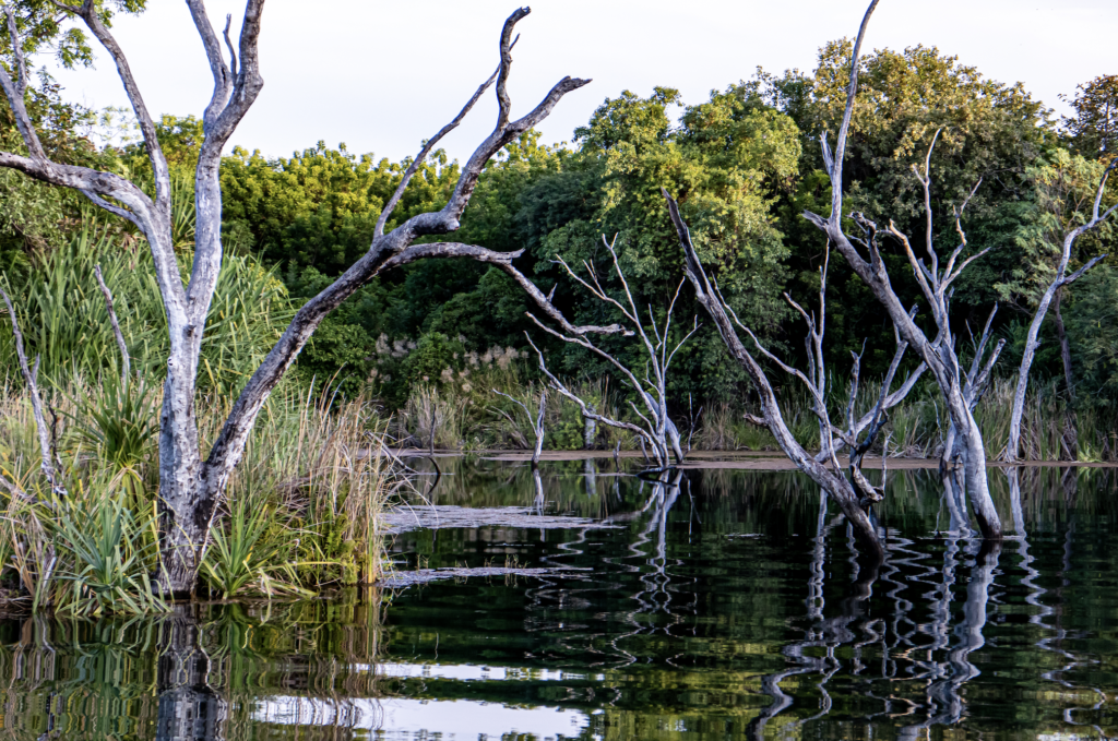
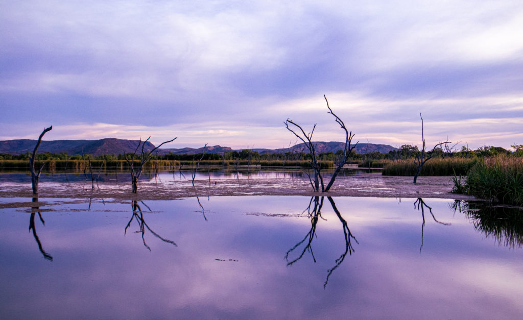
The evening activity was a sunset dinner cruise on Lake Kununurra. And wow it was lovely. From the front of our accommodation, and way up into Packsaddle Lagoon – right in the
The trees in the drown areas were stunning.
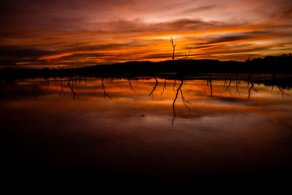
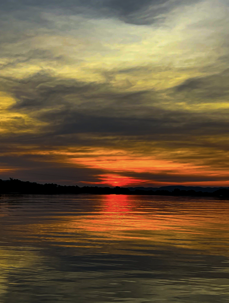
And as for the sunset……
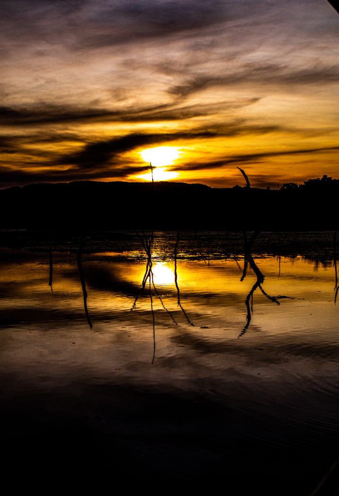
Sat 28th May Lake Argyle, Diversion Dam and Sunset
Today we drove out to Lake Argyle. Beautiful Drive.
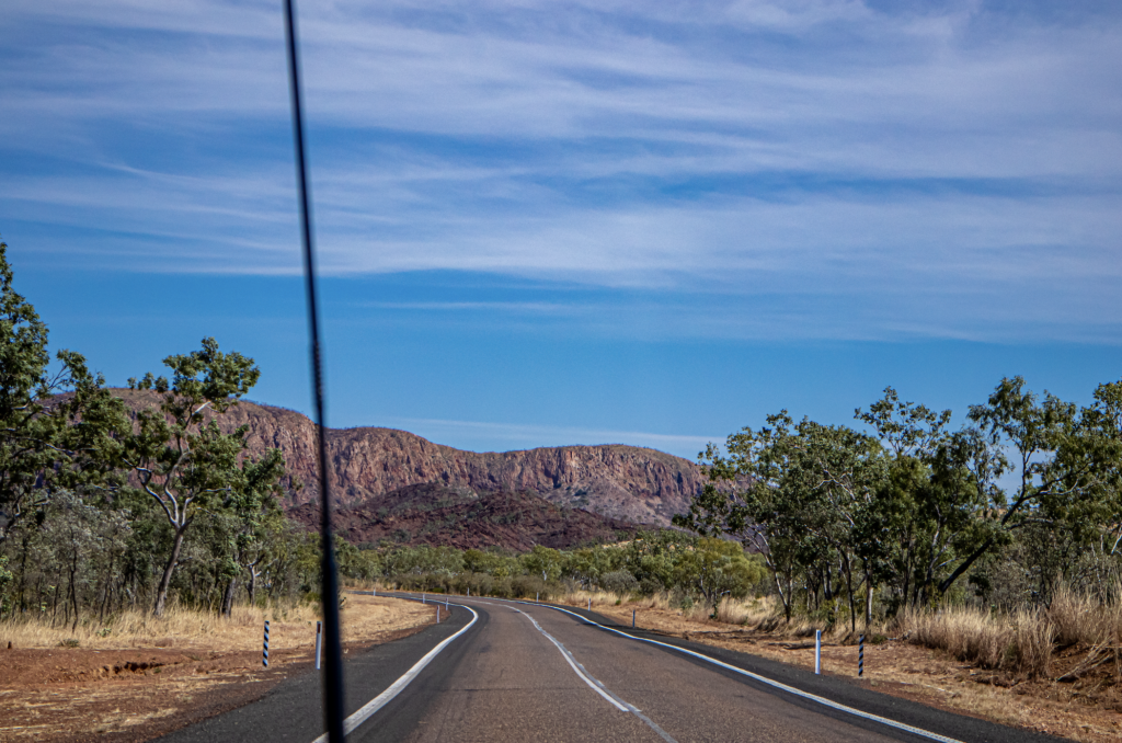
Lake Argyle is Australia’s second largest freshwater man made reservoir. Part of the Ord River Irrigation scheme and about 75 ks from Kununurra.
The dam was completed in 1971. The traditional owners are the Miriwoong Gajerrong peoples who knew the Ord river as Goonoonoorrang. The dams were built with no consultation with or compensation to the Indigenous traditional owners.
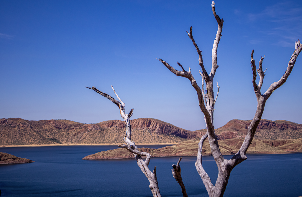
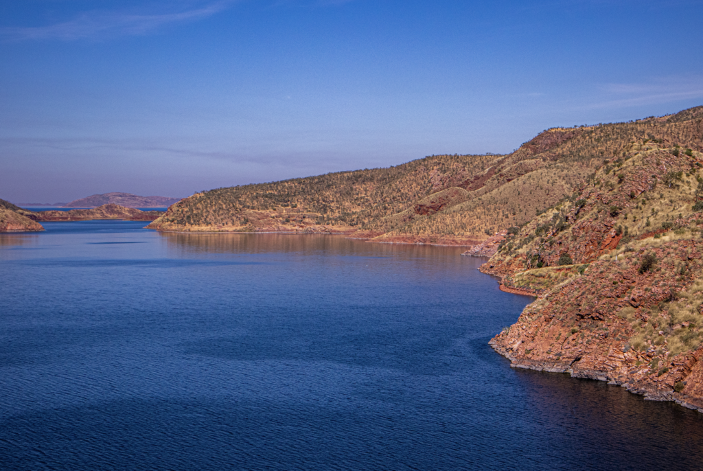
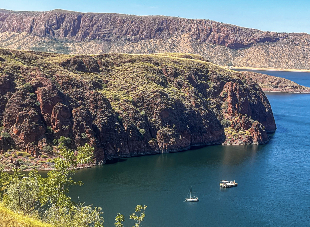
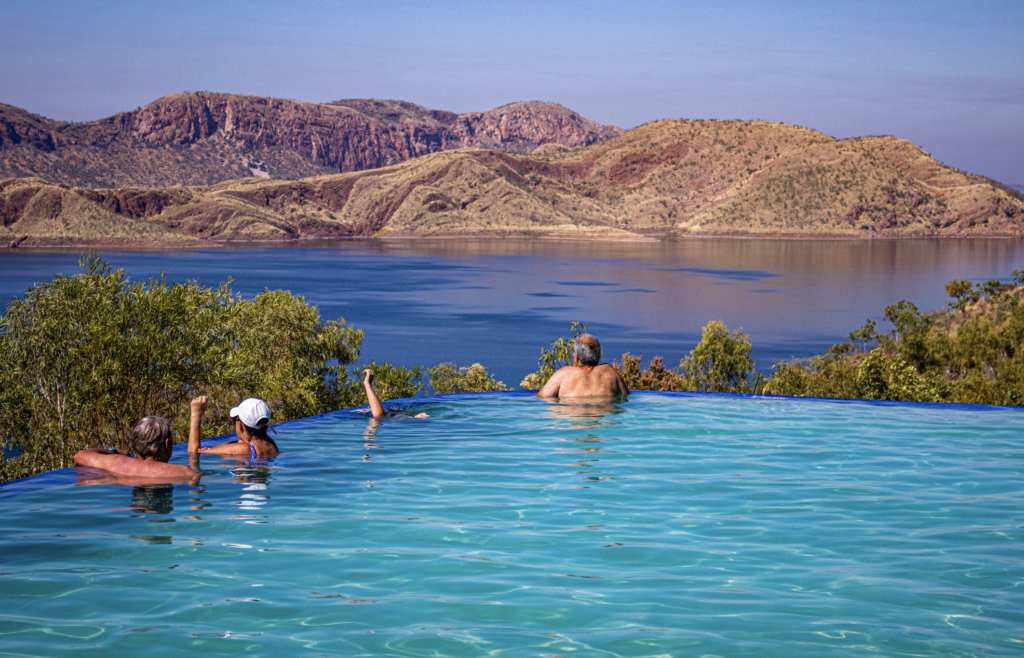
I got to see the infamous infinity pool overlooking the lake.
We drove over the Ord River Dam wall which created the lake. The dam wall is 335 metres long, and 98 metres high and is an ‘earth fill only’ wall ie not made of cement.
The dam wall is the most efficient dam in Australia in terms of the ratio of the size of the dam wall to the amount of water stored. Pretty cool.
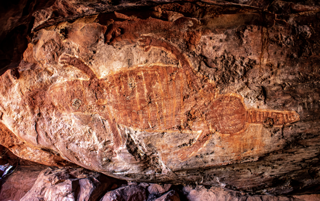
On the way out we tracked down a little known rock art cave. Beautiful cave. Great art.
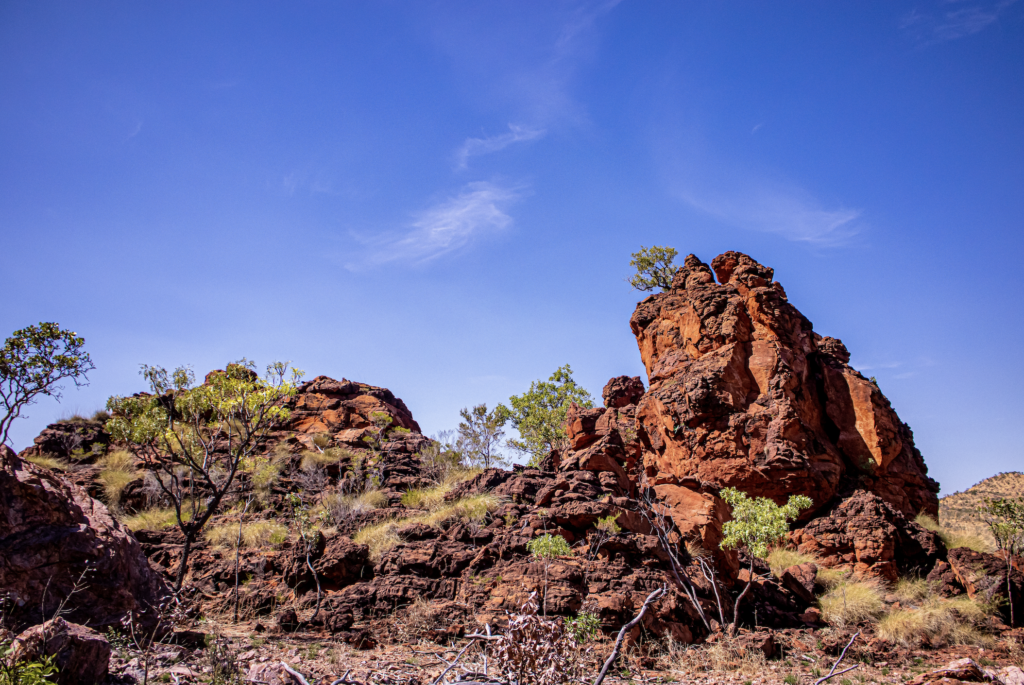
And a 6 k drive down to the WA border. Just because.
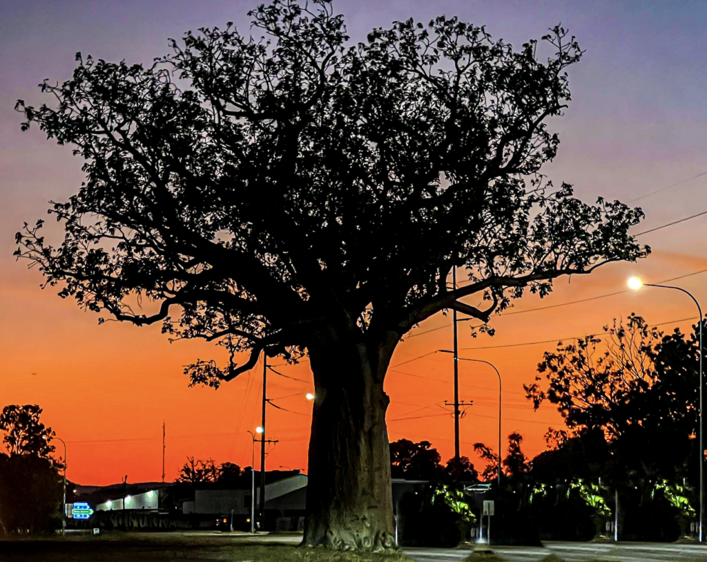
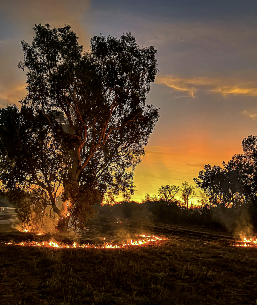
Near the edge of town a bush fire had broken out. They are very common up here and just burn out the spinifex and a few trees. The mobs of Kites flying above hunting was fantastic.
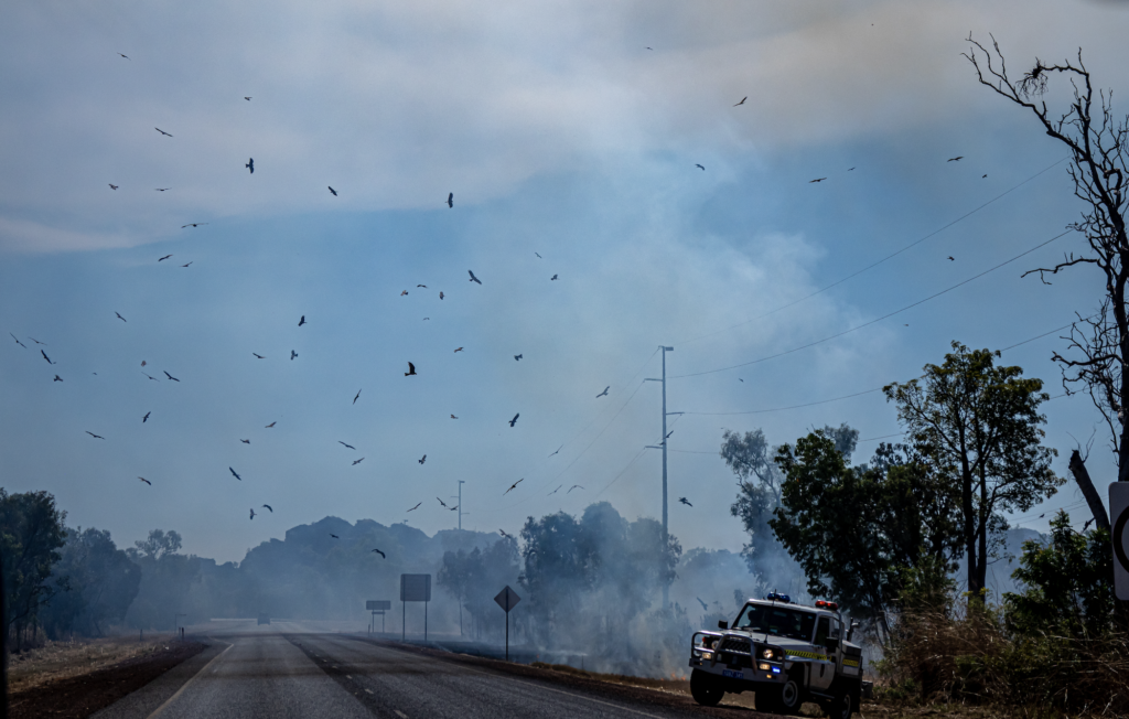
The fire ran up Kelly’s Knob and happily burned for the rest of the day.
Diversion Dam was really pretty. That was the dam to divert the Ord River.
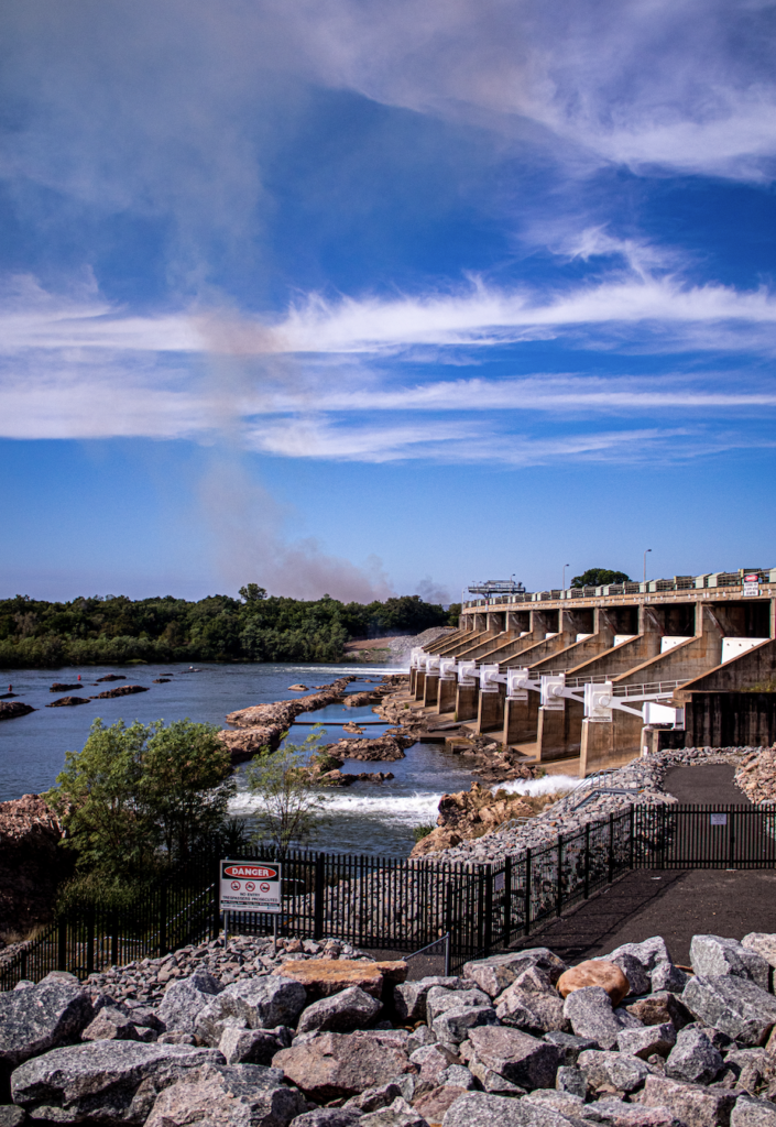
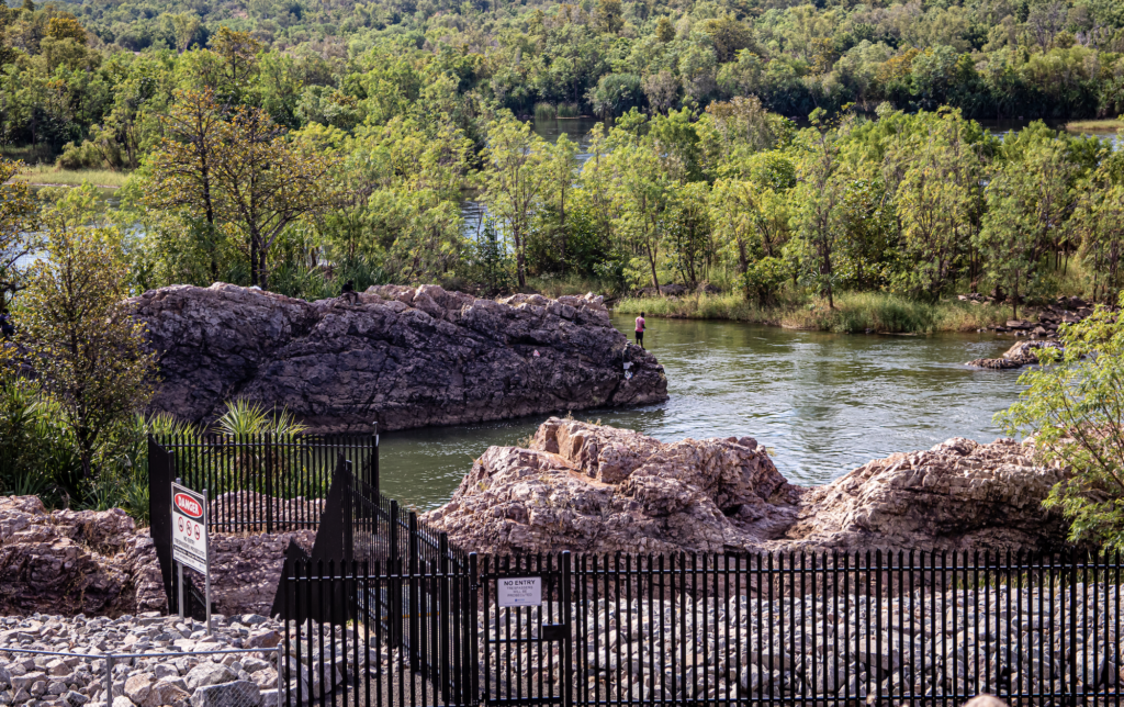
And a drive out through irrigation land. Thousands of mango trees. Yum. Saw a few tiny, dainty wallaby’s. Small Eared Rock Wallaby’s I think.
Our sunset evening trip was planned for up Kellys Knob and was able to still go ahead. The town didn’t seem worried about the fire and the normal crowds were up there for sunset.
Spectacular. The rocks are even more stunning with the sunset light on them.
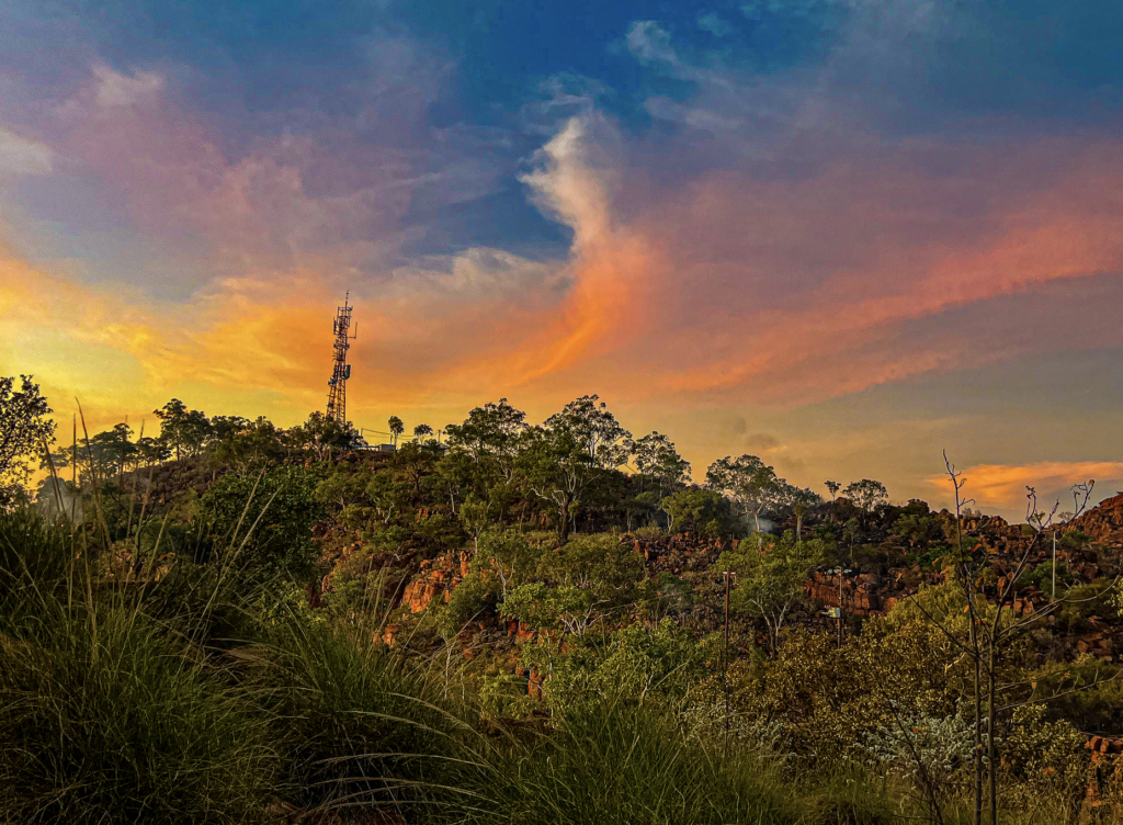
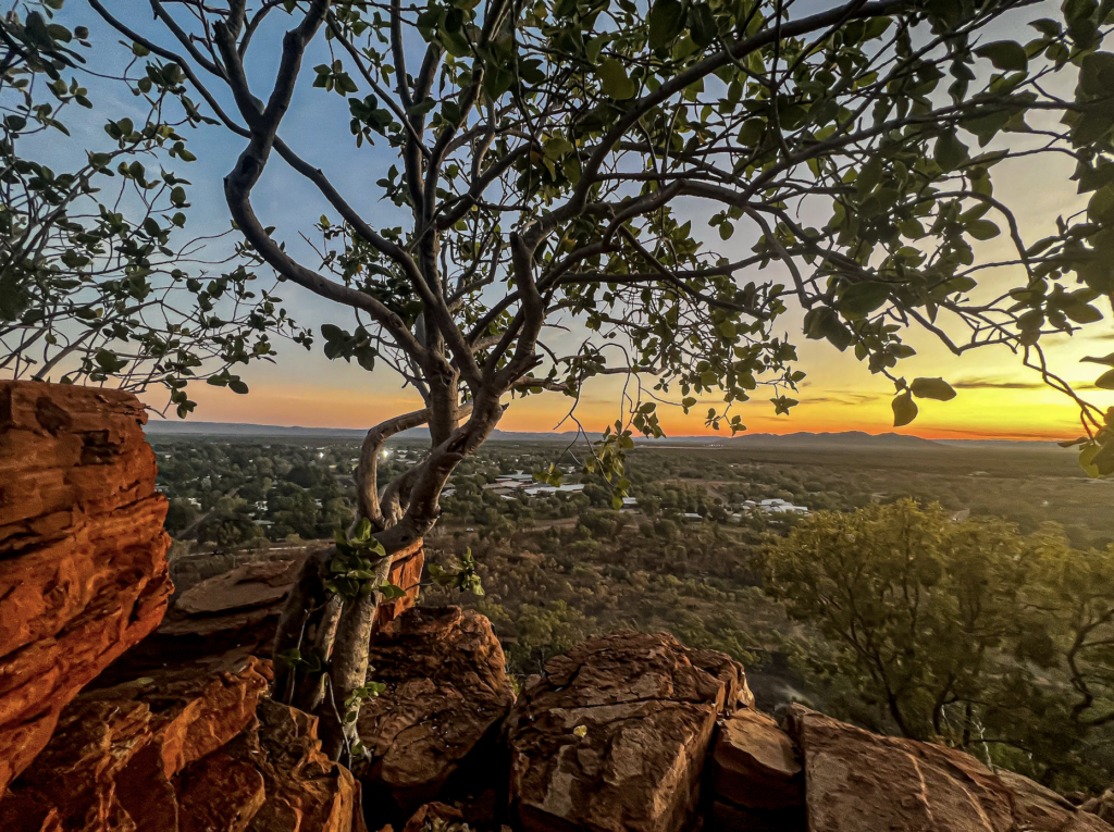
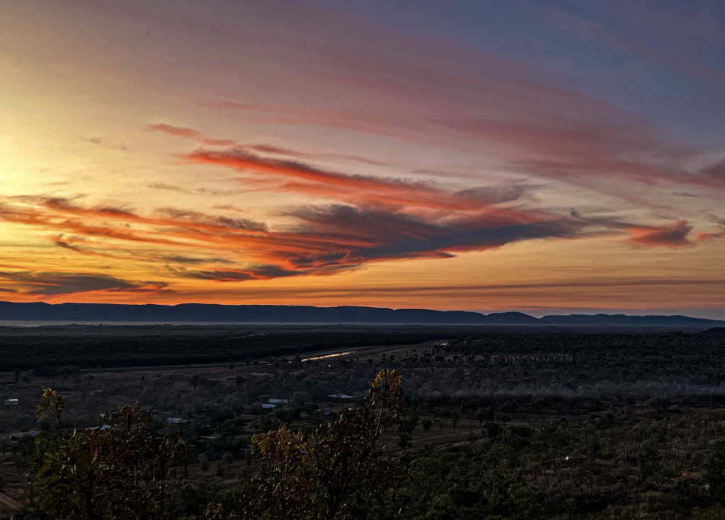
Yet another good day. with a few good sites on the way home.
Sunday 29th May
WOW. WOW WOW. What a day.
Flight to Mitchel Falls.
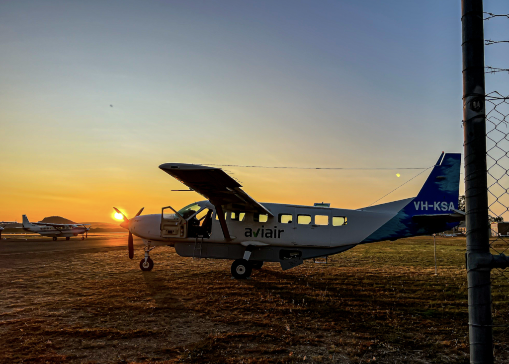
I was picked up at 5.15 and taken to the airport. 13 of us all hoped into our plane and off we went. We then did a 2.15 hour scenic flight up to Mitchell Falls.
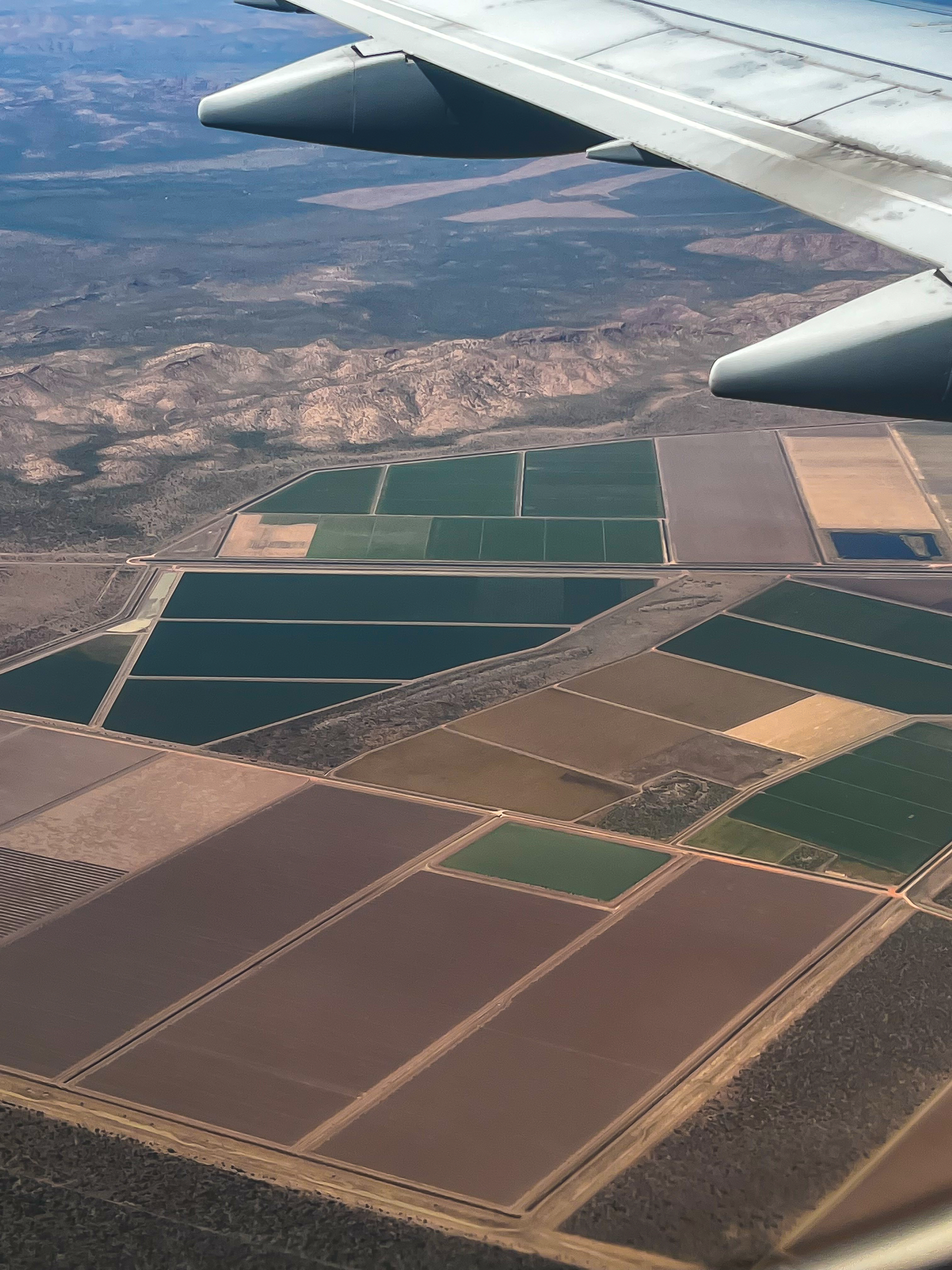
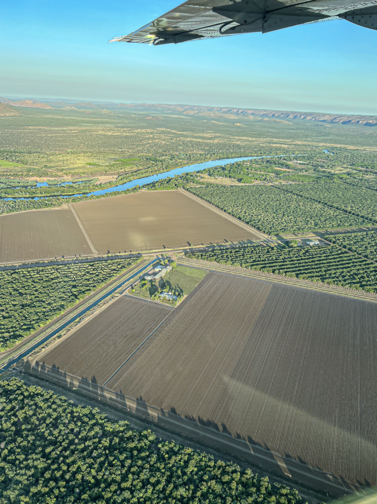
Across the Ord Irrigation area. Love the patchwork effect of so many different crops.
And over Ivanhoe Crossing.
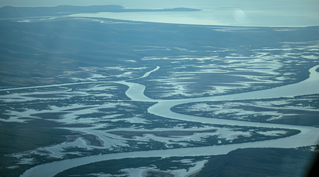
So many big Rivers. So much water.
The colours and textures! The patterns in the mud. Incredible. And scattered among all this, where the land was dry, was cattle country.
Then up to Wyndham and the Five Rivers. The other day we went up the Five Rivers look out and it was amazing. But to see it from so high and see all the rivers at once, to see the vast amounts of water flowing into the Cambridge Gulf. Outstanding. When standing up there I didn’t realise that we were on the edge of a huge plateau on the Bastion Ranges.
The 5 rivers.
King River that we drove along and through.
The Ord River that we have spent much time on.
They all flow into the massive Cambrdige Gulf.
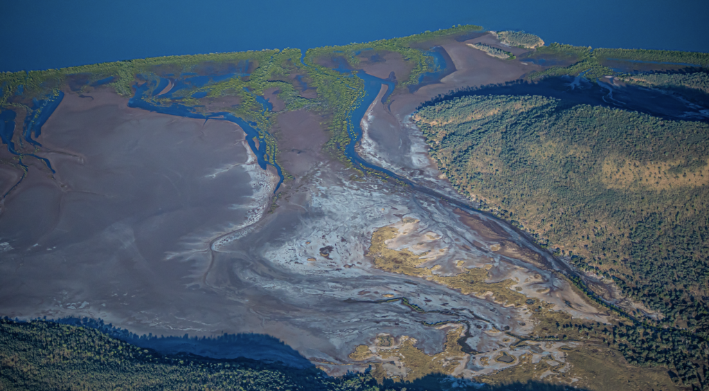
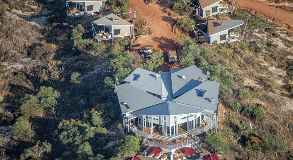
Over the Berkley River Lodge. One of THE most exclusive accommodations in Australia as well as being the most remote. Fly in. Private beach, all inclusive. Few thousand a night. But there is a 50% off deal at the moment.
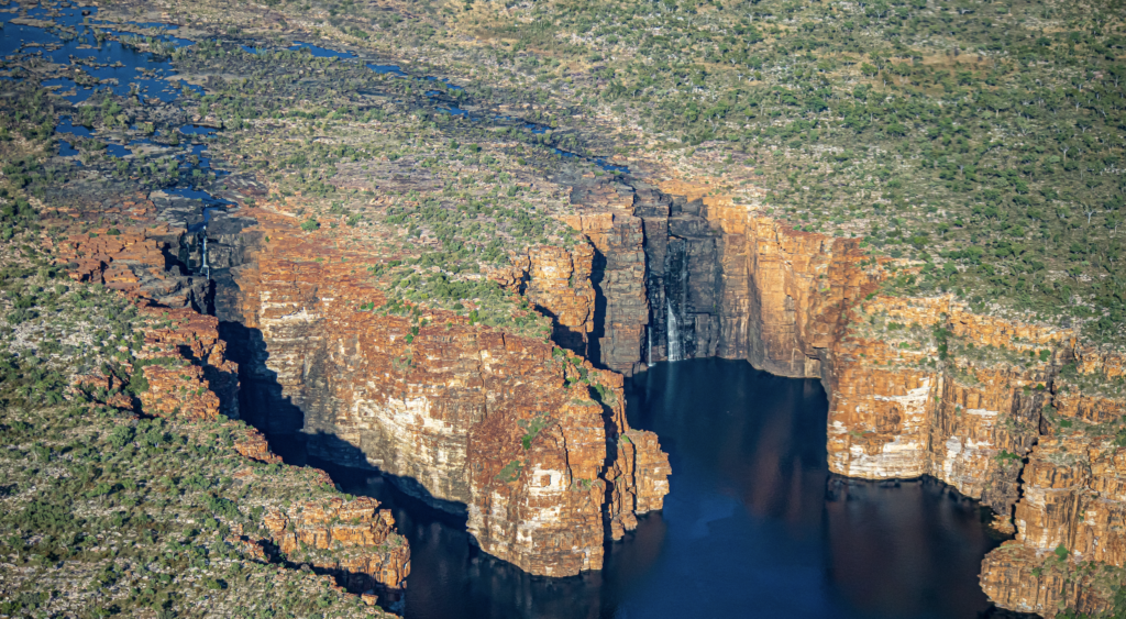
King George Falls was next. High up on the sandstone cliffs it’s WA highest falls. 80 meters high. It’s inaccessible by car so can only be seen by coming in on the tiny cruise ships, boat or by flying over. The river is of high cultural significance to the Balanggarra people, for whom the falls are the male and female Wunkurr (Rainbow Serpents). The red cliffs, the gorges and the mangrove lines river is stunning.
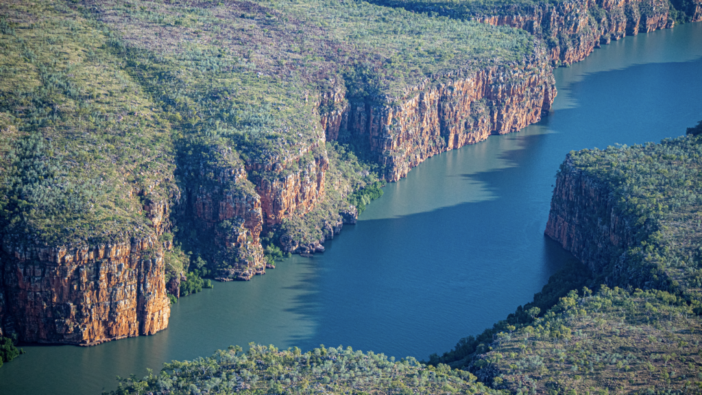
Then another three fall waterfall.
We then tracked along the coast line over the Timor Sea and the amazing beaches.
Then over Kalumburu and Truscott Airbase. Andy’s WWII base. The Drysdale Mission was bombed by the Japanese who mistook it for the base, killing a number of people. Apparently there are still a lot of WWII planes at the ends of the runway. But an $800 landing fee stops people seeing them.
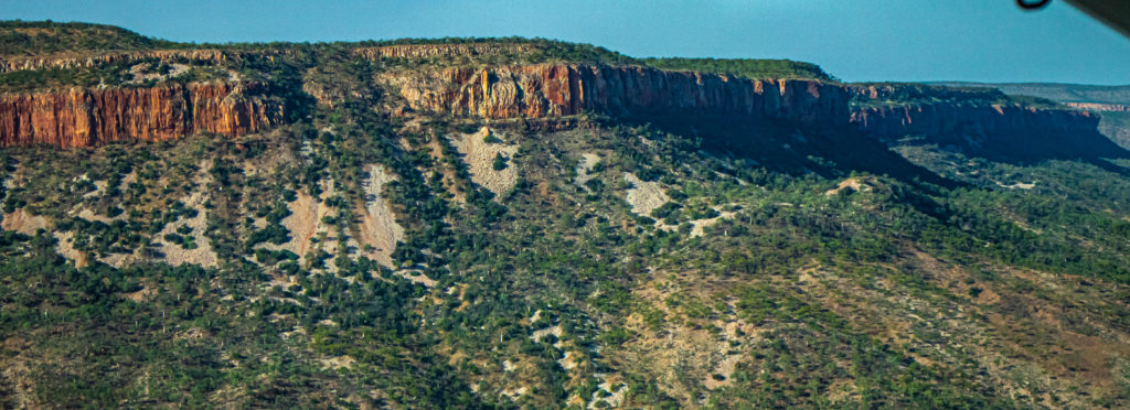
And then up over the Mitchell Plateau. The National Park is 115,300 hectares and really is a plateau. In fact it’s the remains of elevated laterite capped plain. About 1,800 million years ago in the Precambrian times, it formed from a thick sequence of layered sedimentary rock. It has now weathered and cracked into the most amazing rock platforms.
We landed at the Mitchell Plateau International Airport.
A dirt strip with 6-8 shipping containers and a toilet and many, many 44 gall drums. Also an Arrival and Departures Lounge. A bit like the Qantas club, ……. only different.
Then we were loaded into the choppers and up to The Camp we went. This is the camp where people drive too (and camp while recovering from the drive in). Terrible road of 16 ks that takes close to an hour to drive or 8 hours to walk. And that’s on top of the 200ish Ks of terrible road from the Gibb River Road. Choppers are good.
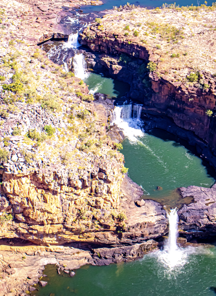
From the camp you could either walk up the falls or chopper up. I chose to chopper up as you got more time seeing the falls. Maybe I would have walked if I know they were “doors off” choppers. Not a fan!
Then spent the next four hours up there watching, walking, scrambling up and down the sides of the falls. Amazing! Sensation! Spectacular!
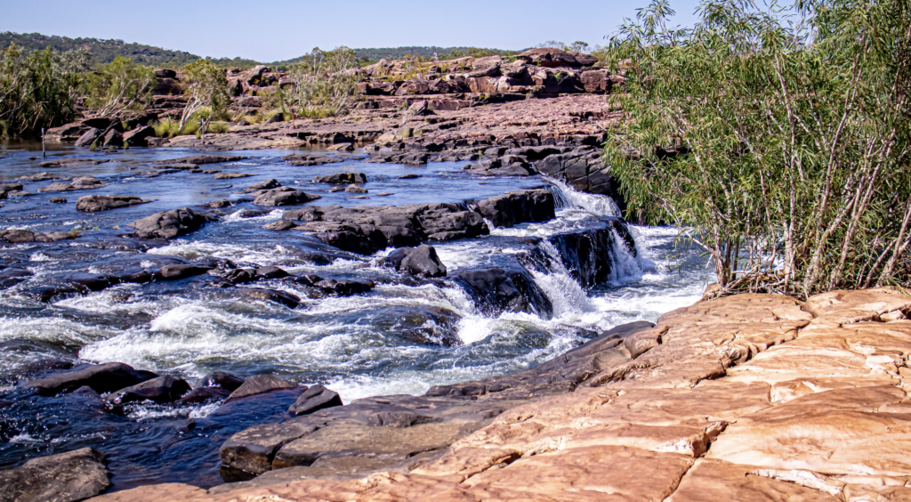
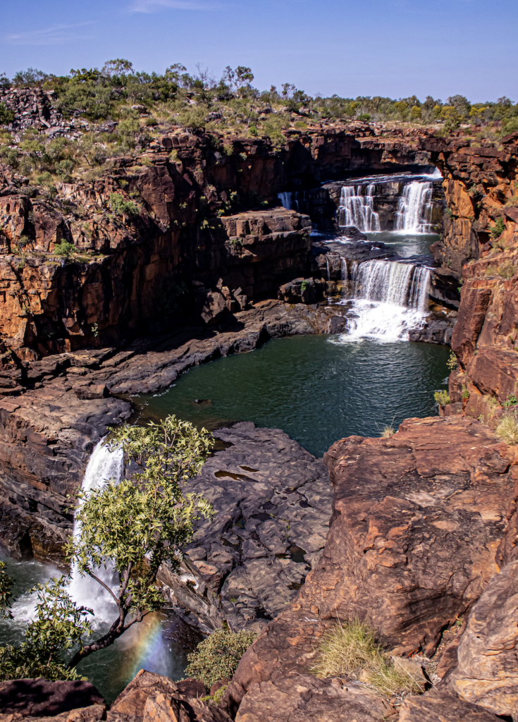
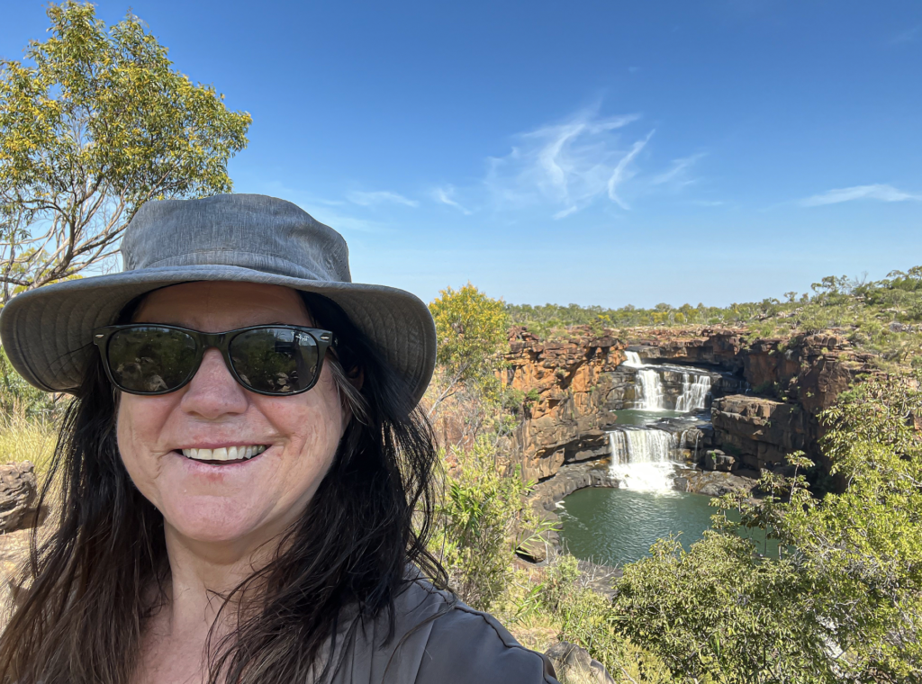
The falls, known as Punamii-Uunpuu to the Wunambal people, have been carved through the sandstone, by the Mitchell River leaving many stunning water pools and many falls. The main attraction is the four tiered falls, with emerald coloured pools, the intense blue sky and the red rocks. Amazing. It has to be Australia’s best waterfall. The total height of the four drops is 80 meters.
All four falls were still flowing. It was amazing so must be unbelievable in the wet when the water is running to the sides.
And on this day Wunggurr, the rainbow serpent, was present at the bottom of the 4th fall. Exciting.
It was a great set up the top. Shade shelters, although I found an overhang with a ‘tunnel’ running though it that formed an air conditioner. I sat there to eat my lunch box and one of the guide said “ah, you found the best spot here.” Pots of cold water etc.
Many people swam. Others went for walks. I went for a walk over the other side of the river. This involved wading through the river an about mid-thigh depth, with a current. They got us to walk over in our socks. And wow. Walking on slippery rocks in sock is awesome (even with my shoes tucked into my waist band). So much grip. I made it both times. A number of others did fall. Yay for me.
It was finally time to chopper back down to the international airport. Those silly choppers hadn’t grown doors. I did not like the figure ‘8’s in front of the falls. But I survived.
It was then into the departures lounge with a esky full of beverages. We drank while the pilot got back into his uniform, fuelled the taxi and did his paper work.
Then back we flew. South east until we reached the Cockburn Ranges. Pronounced CoBurn for obvious reasons. And along the Gibb River Road. Was great to see the places we drove such as the Pentecost River Crossing.
Brilliant day. Was easily the most expensive excursion day I have done…but OW. You get what you pay for.
Day 7
Lake Argyle Cruise and Ord River trip. A day of boating.
Another huge day of amazingness. We were picked up at 8am to drive back up to Lake Argyle for a lunch cruise followed by a cruise down the Ord River back to Kununurra. My head is still spinning from the huge numbers that were thrown at us all day but it was amazing.
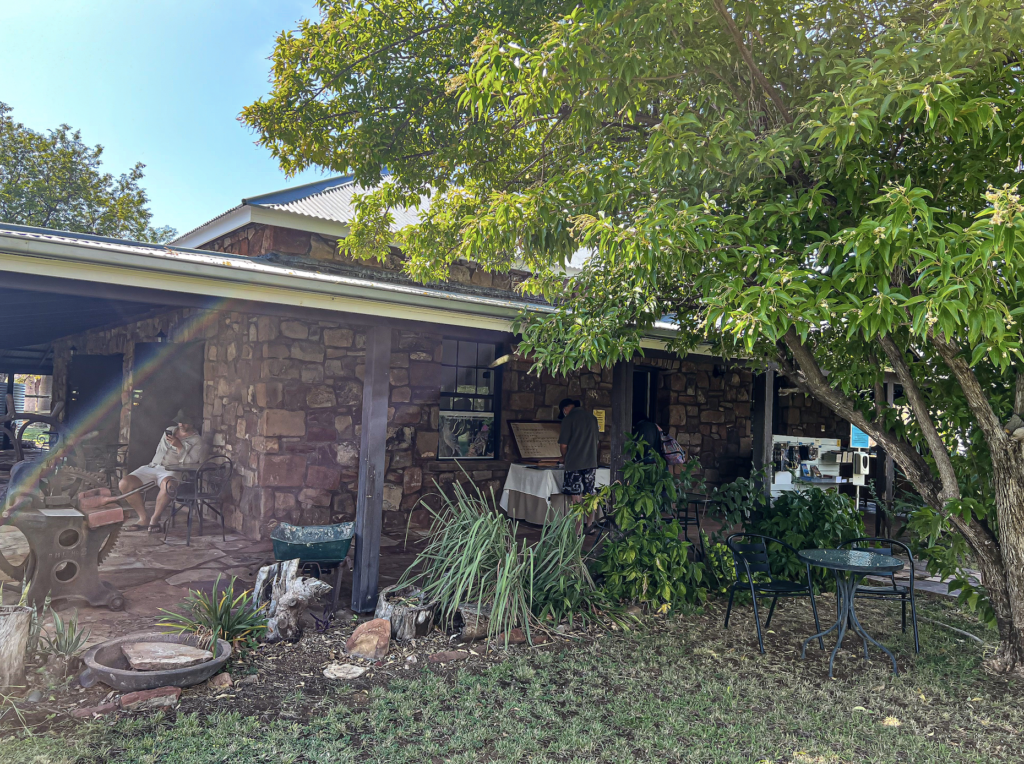
We had a stop at the Durack homestead. The Duracks of course being the original settlers of this area. Originally from Ireland via the Goulburn district, they decided that land could be claimed and fortunes made if they went north west.
Patsy Durack’s sons Michael and John arrived at Argyle in 1886. Patsy followed.
The 9 month drove took 2 1/2 years and many lives of both humans and stock were lost.
But they made it. And worked extremely hard to set up the cattle empire.
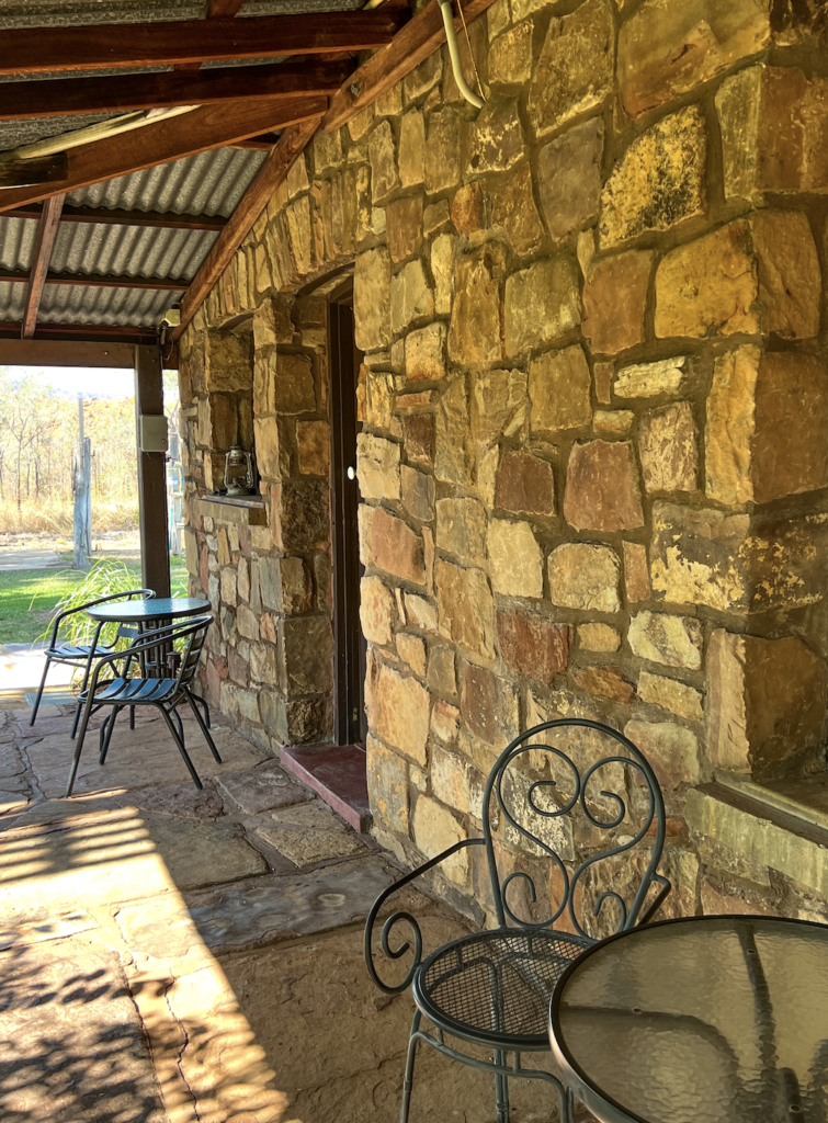
The main homestead, Argyle Downs, was built into the valley among the large ranges and completed in 1895.
Grandson Kimberley Durack noticed, over a few years, how much the Ord river increased in size during and after the wet. He thought of the idea to dam it. He did a few years of test crops then took his findings to the government. By 1941 the Ord River Experimental Station was established. And so the Ord River Scheme was conceived.
In 1963 the Ord River Diversion Dam was completed, down river of Kununurra. The water that was held back formed Lake Kununurra.
In 1972 Lake Argyle was completed. The dam wall is very special. It is an earth-fill only dam wall. It has a core of clay then is covered in gravel and rubble. This is because it is on a fault line and a tradition concrete wall could crack. Lake Argyle is the most efficient dam in Australia in terms of the ratio of the size of the dam wall to the amount of water stored. The wall is 98 meters high and 335 long.
Sadly Argyle Downs homestead was smack in the middle. Before filling the dam the homestead was dismantled and numbered. Then stored in 44 gall drums. They ran out of money to rebuild so it sat for three years. And was them rebuilt. Almost exactly as some numbers had washed off.
The museum was really interesting.
Lake Argyle is all about storing water to allow for year around irrigation of the Ord River Scheme. The original plan was to grow rice….but the Magpie Geese put an end to that. It then began with tropical plants – Sandalwood, Sugarcane, Mangos.
Power via Hydro turbines was a side product bonus.
It now supplies Kununurra, Wyndham and did supply the Argyle Diamond mine (now shut – they couldn’t economically dig any deeper). The hydro saved 60 million liters a year of diesel (based on 1970s usage).
As they were preparing to demolish the accommodation infrastructure for the workers, someone realized what a tourism gold mine it could be and bought it. It became the Lake Argyle Resort.
There is a spill way that we drove over. It drains when the lake reaches that height. It can be massive after big wets.
In 1996, the spillway wall was raised by 6 metres (20 ft), which doubled the dam’s capacity.
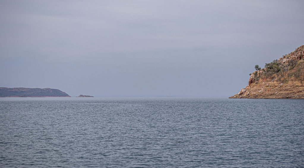
The lake is 950 ks in circumference. Covers 2,000sq and it can hold 10.7 billion cubic metres of water
We boarded the MV Kimberly Durack, for a three hour lunch cruise. And saw so much.
There is commercial fishing in the lake. The main catch is Silver Cobbler. Our lunch was caught by them. Silver Cobbler? you say. Well it used to be known as Shovel nosed Catfish and was selling for $4 a kilo. None wanted to eat muddy catfish. They rebranded it and sold it as Silver Cobbler – $26 a kilo.
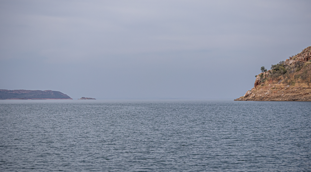
We passed a 3 bedroom houseboat, privately owned. That was delivered in 2 parts and welded together.
There was an aquaculture business. A barramundi farm. But it closed as barramundi need brackish water to breed and salt water to develop their flavor. No-one wanted to eat freshwater Barra, as it was tasteless. The industry failed. But the fish remained. The lake is full of barra – that cannot breed and don’t taste good. The biggest one to be caught here was 1.7metres.
We went past the “hole in the dam wall” where a ‘Coyote blast’ (a cheap method of blasting hard rock) was set (and lit with a cigarette butt) with five hundred tons of ammonium nitrate in two tunnels 100 metres underground. It did its job plus casued a face of the dam to collapse in. Luckily it didn’t penetrate the full wall. It was Australia’s biggest non-nuclear explosion and measured on a Richter scale in Sydney.
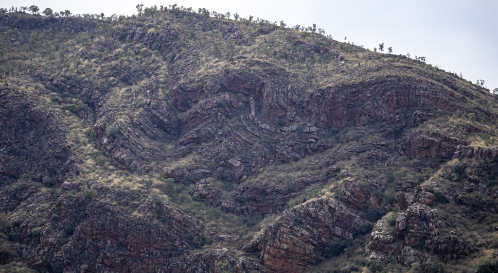
There were no deaths in the building of the wall (apart for DUI MVA of people going into town).
Lake Argyle has the biggest freshies crocs. That is because they “live in a supermarket” and don’t eat cane toads.
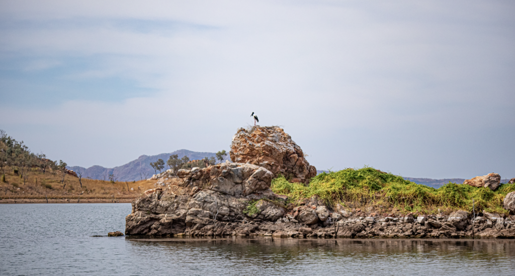
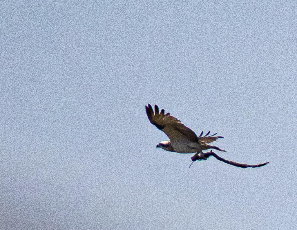
Saw many birds including the local drama of a pair of Jabiru and Osprey who both want the same nest site. When one goes the others come in.
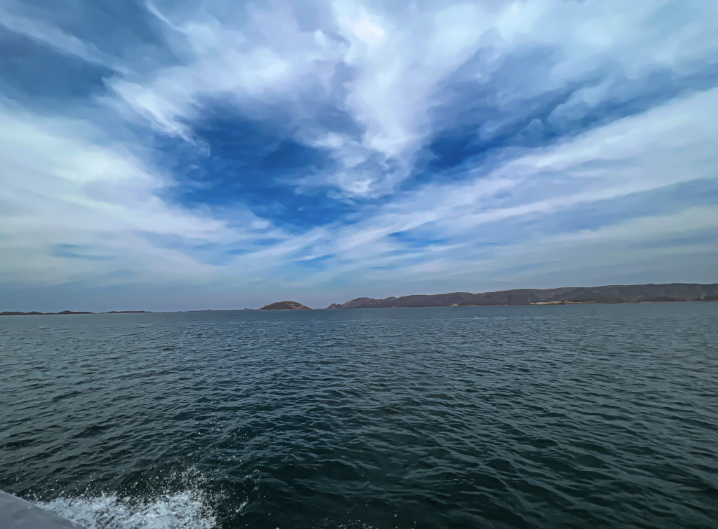
The lake is so big that at some times you cannot see the other side. There is one stretch where the skipper can go 50 k straight without touching the steering wheel.
Recently some fishing blokes broke down. They called for help but panicked and set off the rescue beacon as they were “running out of freshwater“.
Storm are huge. Winds have been measured at 180 ks with 3.5 meter waves.
Our lunch stop was a BBQ on a lovely island. An ochre site.
Many people went swimming. We had a lovely catfish lunch. Oops…. I mean Silver Cobbler. And I shall admit it was lovely. It’s the large deep water ones that are commercially fished. Not the muddy horrid ones I ate as a kid from big muddy central NSWs rivers.
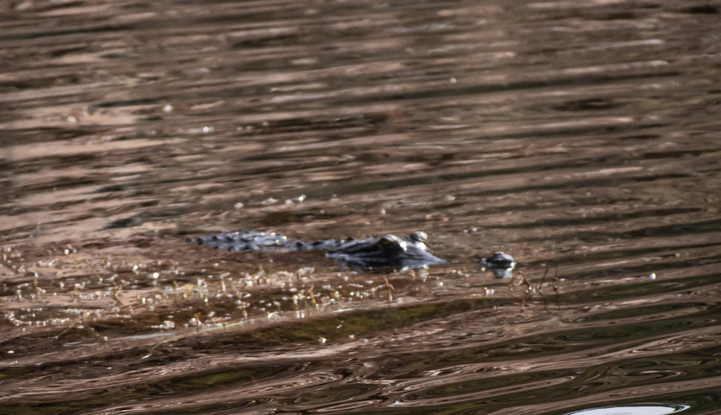
As the final swimmers got back on board a 2 meter croc cruised past…like 10m from where they were swimming. There are an estimated 30,000 crocs in the dam so I guess it had to happen.
We then went back. Bussed over the dam wall and joined out second 3 hr boat trip at the Hydro dam. The Hydro pumps 32000 liters per second.
A trip on the longest day trip on a river in Australia. 55 ks back down to Kunnunurra. What a river!!!
The Ord was originally a dry river bed with lagoons in the dry and a massive raging monster in the wet.
Yes the dams have changed the ecology of the area, but many claim it has been of benefit to the ecosystem.
It is in three main sections.
The first is a rapid flow with the elevation dropping 15 meters over the at first 15ks.
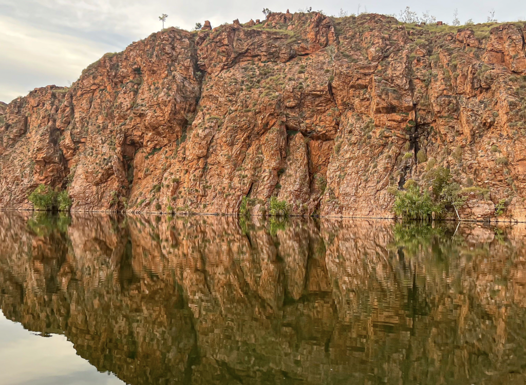
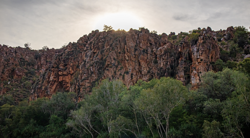
The area is siltstone sedimentary and much of it is polished smooth by the eons of flooding. Stunning.
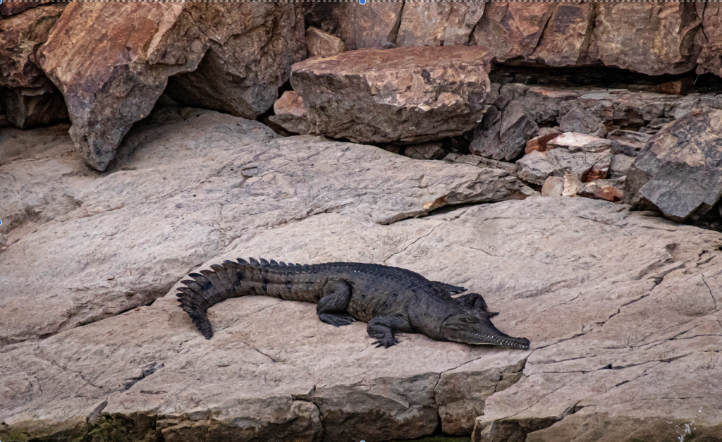
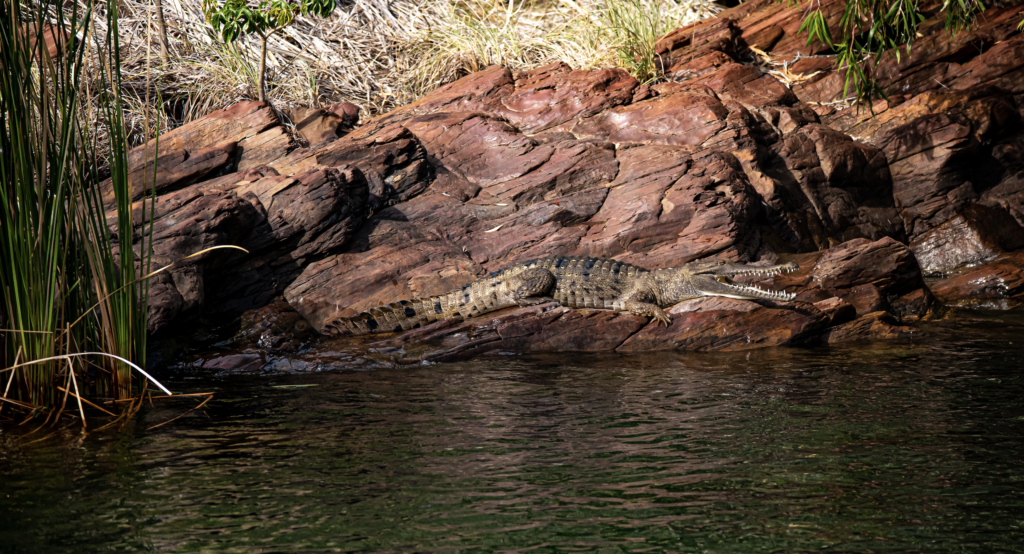
There is one croc every 10 meters. Freshwater crocs, but occasionally a very persistent and clever Estuarine croc get up there, and is trapped and relocated. (They have changed the name from Salt Water Croc to Estuarine croc as basically people are stupid and think they are safe in freshwater).
This area would be 15 meters under water in wet.
Since the dams they have recorded 60 new bird species (who come from the area).
The irrigation scheme only uses 10% of the water. The rest still flows back to the sea.
At a rate of 60 cubic meters a second.
Now the Ord flows all year, it increased biodiversity all year. There are four pairs of Osprey are on the river. Considering there are only 1000 breeding pair in Aust this is significant.
One day of flow into Lake Argyle could supply Perth and Adelaide for 7 years.
We saw many crocs in that first section but couldn’t stop as the current is too strong.
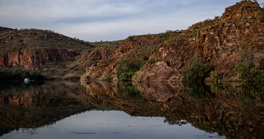
The second section was the gorges. All spectacular but Carlton Gorge was even more so.
We pocked into a few ‘creeks’. Big rivers by NSW standard. Coleman Creek and Stonewall Creek.
We stopped right by some Long Jawed Spiders. Don’t like that description. Saw the webs of many Golden Orbs. There web is super strong. There is a company weaving it into fabric.
And the hideous web of anther spider – they makes big clumps of leaves and debris.
I kept ‘singing’ the Dueling Banjos tune.
Tall grass is Narrowleaf Cumbungi. Bullrushes. It’s a native not a weed.
Some wanted to rid of it. ……..by introducing pigmy hippo.
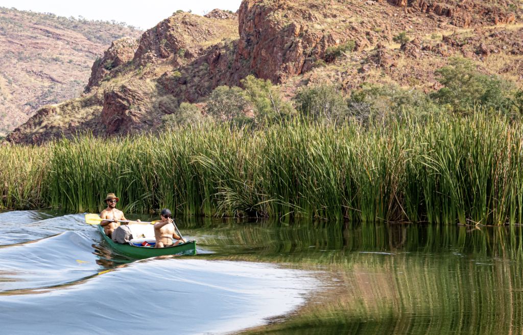
But it’s really important for stabilizes the banks until trees are established.
The Melaleuca quinquenervia – paper bark was amazing.
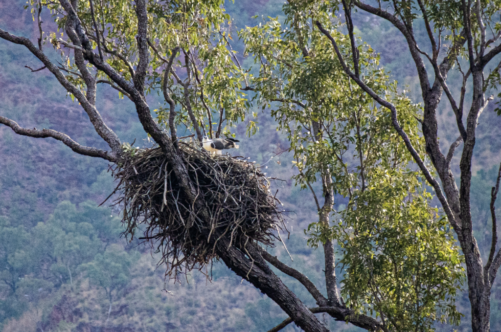
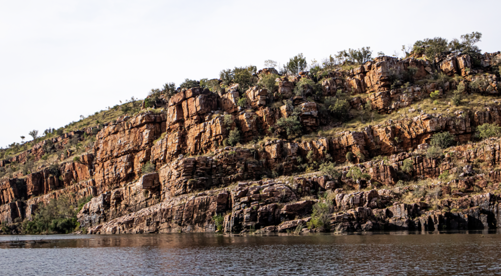
An amazing afternoon tea up on the banks then down to the open section of the river with more amazingness and the sunset.
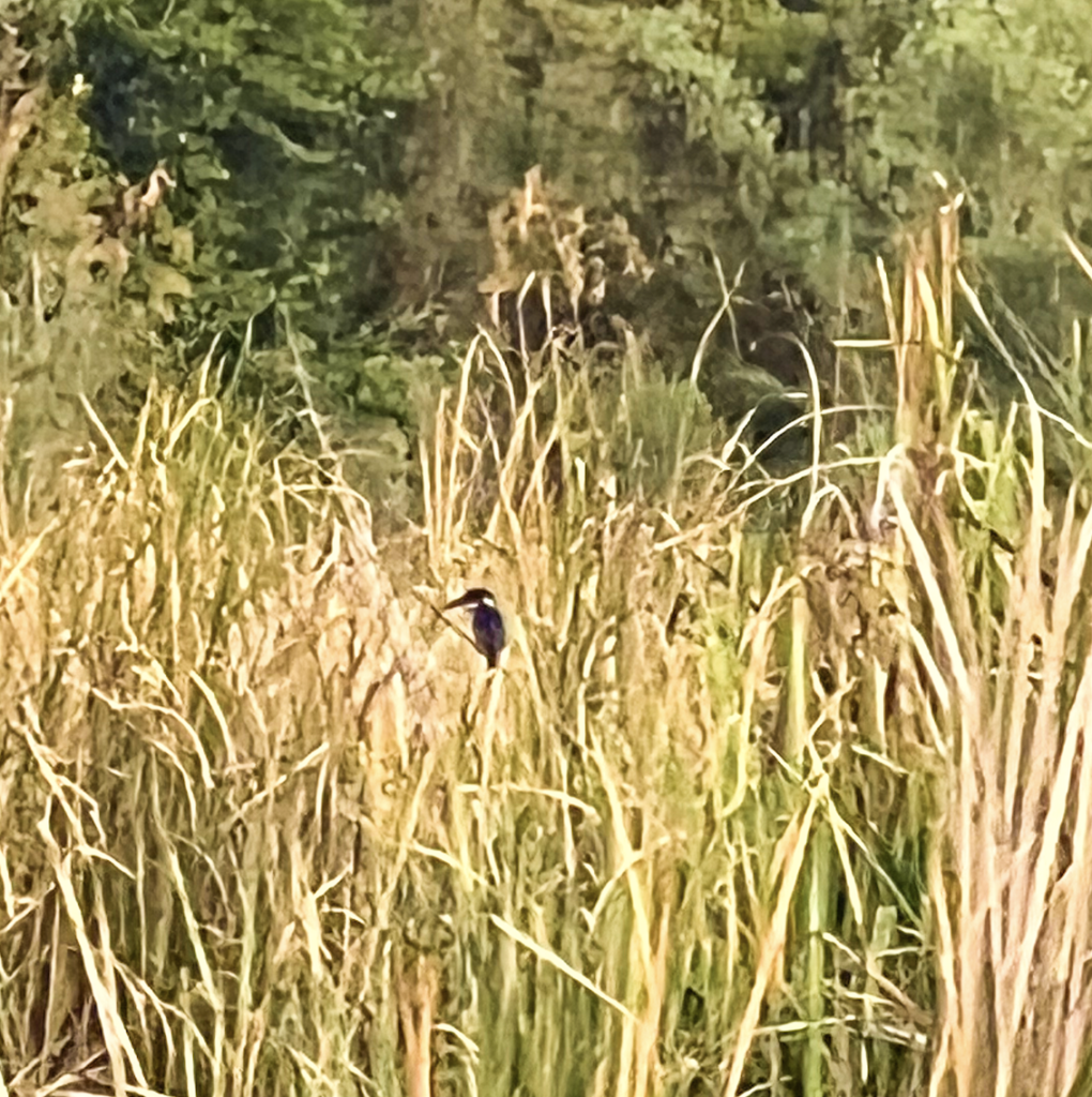
Sea Eagles, Osprey, Azure Kingfisher, and on and on. (They took a group of serious birders out recently. They were in position by dawn and recorded 72 species in 2 hours).
Yes, Another incredible day.
Day 8 – Monday 30th May
A relaxed start and a walk around the Kimberlyland Park, where we were staying.
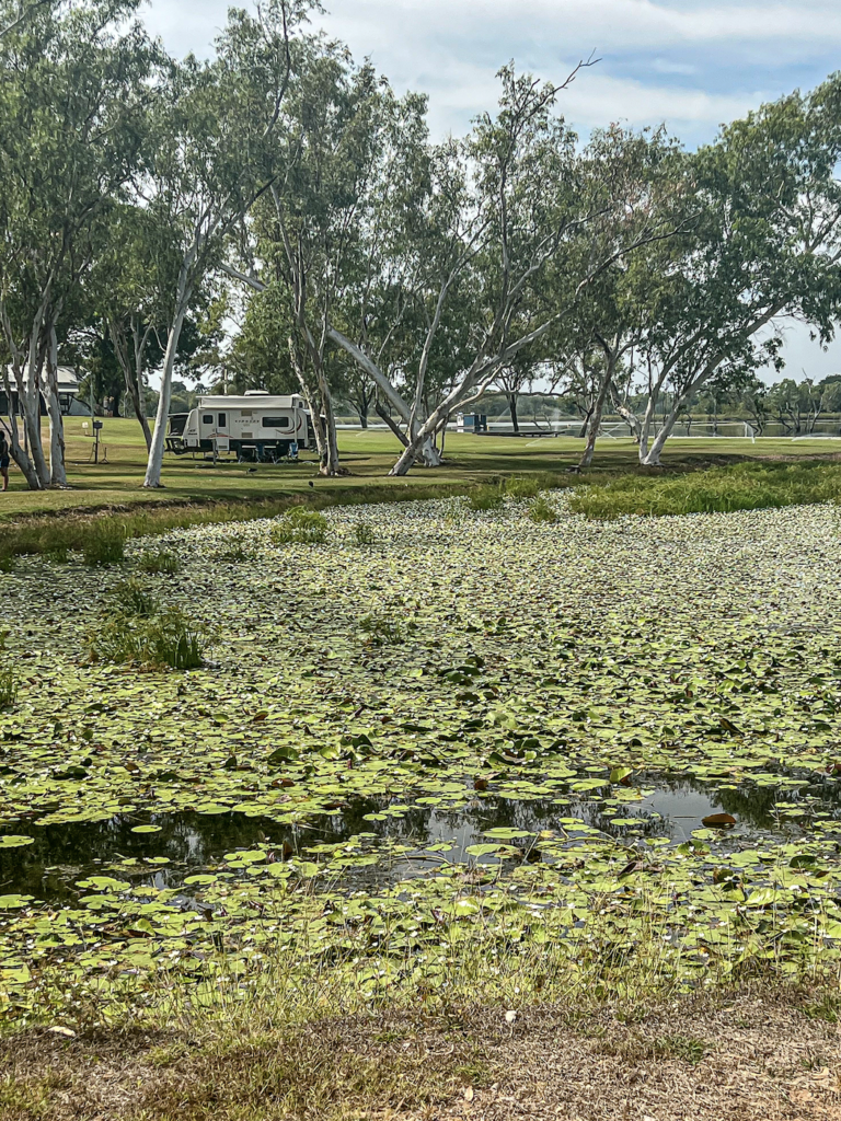
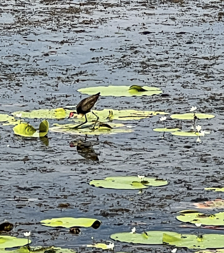
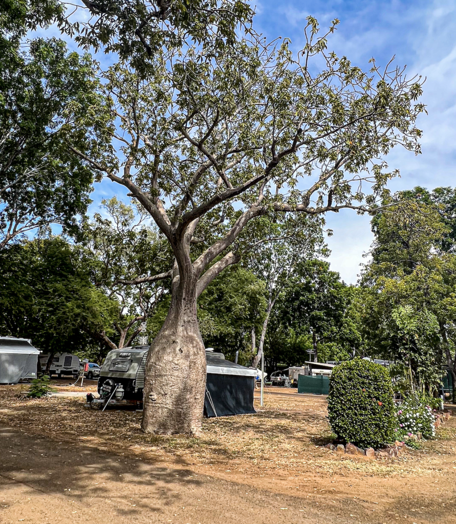
Followed by a loop drive around the Ngamoowalem Conservation Park, up the Parry Creek Road (confusing as not Parry Creek Lagoon Road where we stayed). This was mostly on 4WD only roads so lovely.
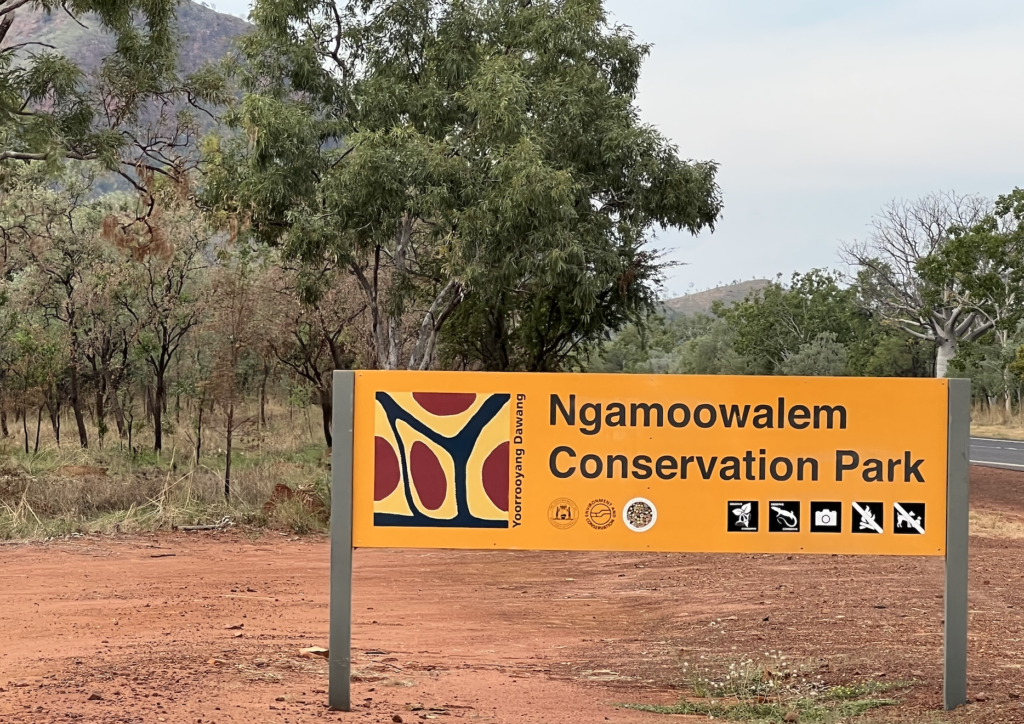
We stopped at many waterholes. Ngamoowalem Conservation Park is one of six parks owned by the Miriwoong and Gajiraberg peoples and jointly managed with Department of Parks WA.
First stop was Valentine Crossing. Today it was very much the remaining waterhole in a very arid region. Not near the road at all. After heavy rain this crossing is impassable. It rises really fast and often has people stuck on the wrong side. Even dry it was very pretty with great trees.
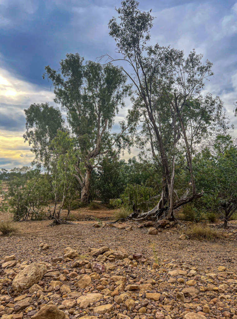
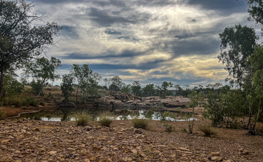
Galijiba – Molly Springs, in one of many waterholes within Ngamoowalem Conservation Park.
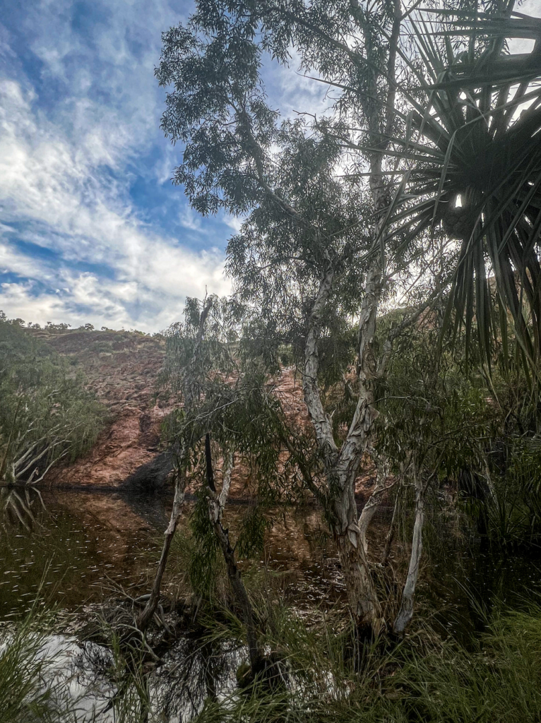
Galijiba is one of the only permanent with flowing water all year. Valentine Crossing. fed as the name suggests. Miriwoong people camped here hunting kangaroos and goannas as well as collected sugar bags (bush honey). A beautiful little water hole surrounded by paperbarks and fan palms, with a great waterfall. Its only a few meters across but so pretty. Of course stunning rocks.
It was a lovely stroll in under the fan palms, with a few wet crossings. It’s not on the main tourist radar, although one group was in there when we were, but is lovely.
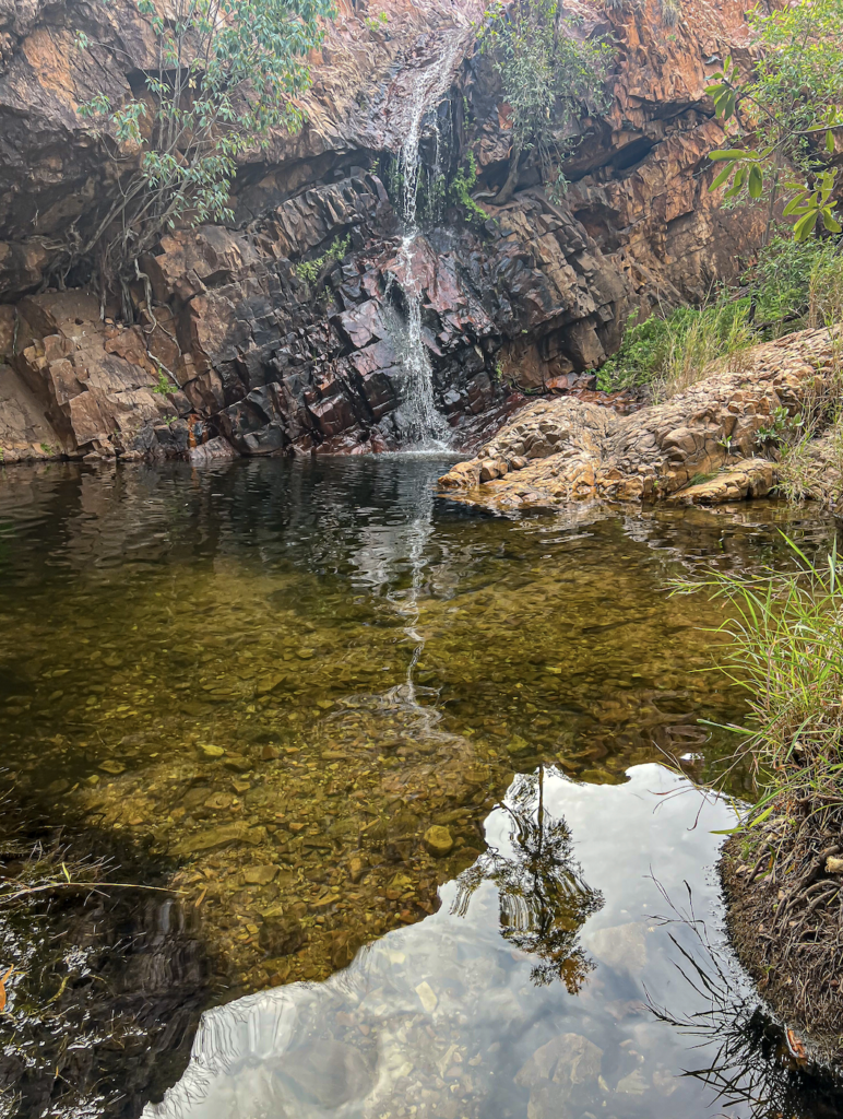
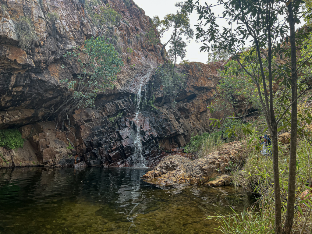
Thegooyeng Black Rock Pool was stunning. A rocky path in that required some clambering. A spectacular pool at the bottom of an even more spectacular 50 meter drop from the Livistona Range. During the wet it’s a raging waterfall. A small creek trickles away leaving a green winding path down to the Ord River.
Miriwoong people have used it for water and hunting. Lots of bush medicine grown here.
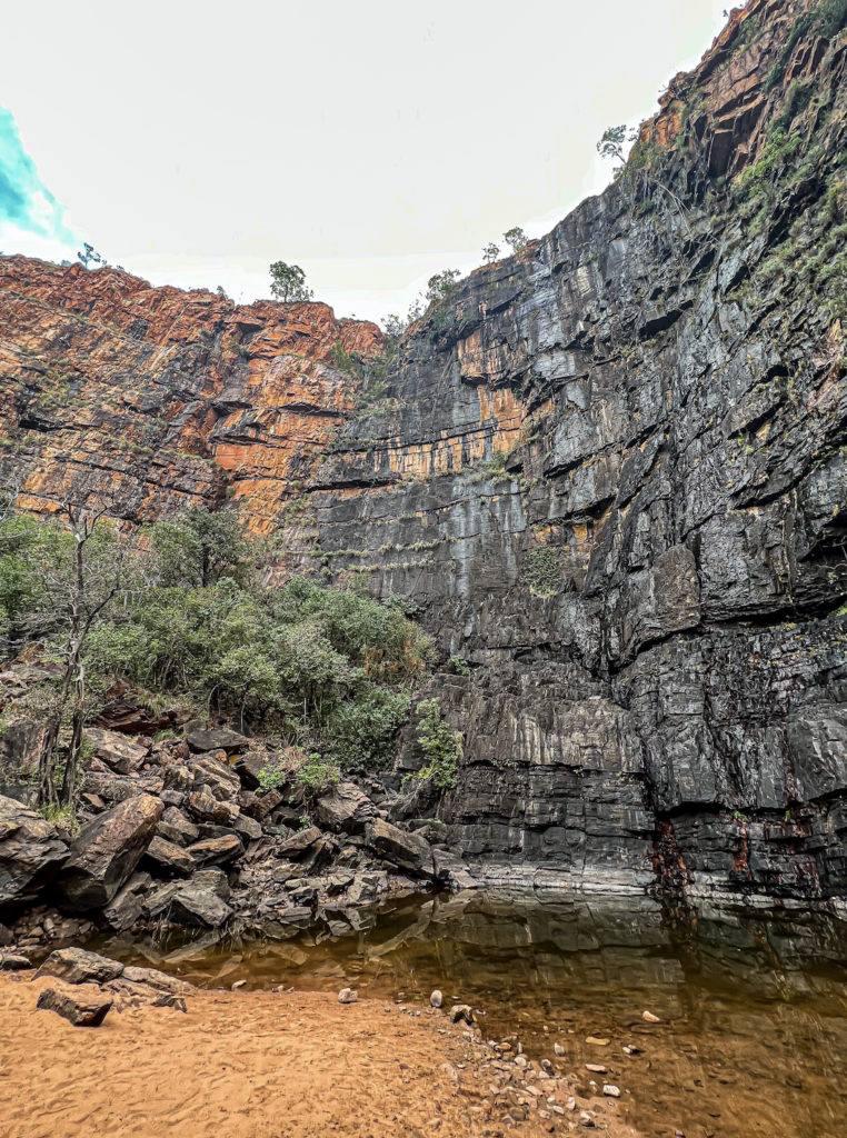
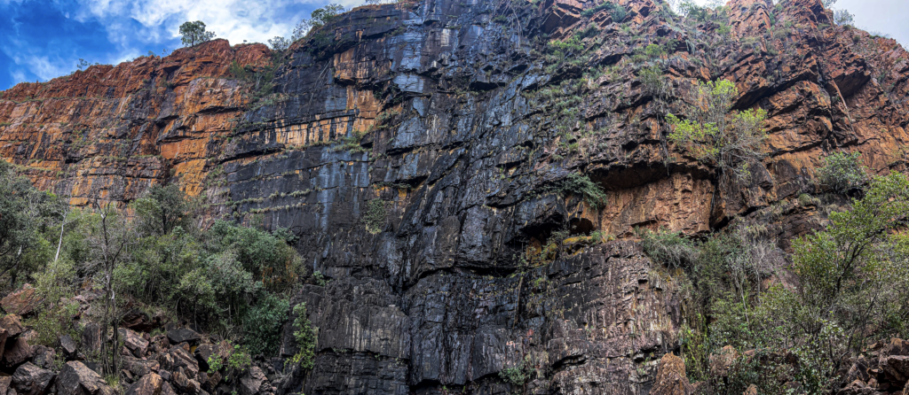
The dazzling orange walls are stained black, giving the area its name. Stained with Cyanobacteria. Cyanobacteria is a division of microorganisms that are related to bacteria but are capable of photosynthesis. They are prokaryotic and represent the earliest known form of life on the earth).
The stains were amazing and in the wet will turn green. This was set off so well by the golden sand. We saw a number of blue-winged kookaburras. Bird life and butterfly life were amazing. It’s a really important breeding place for man y native frogs and butterflies.
An absolutely amazing place. Its well used by the locals so they love it not being known to many tourists.
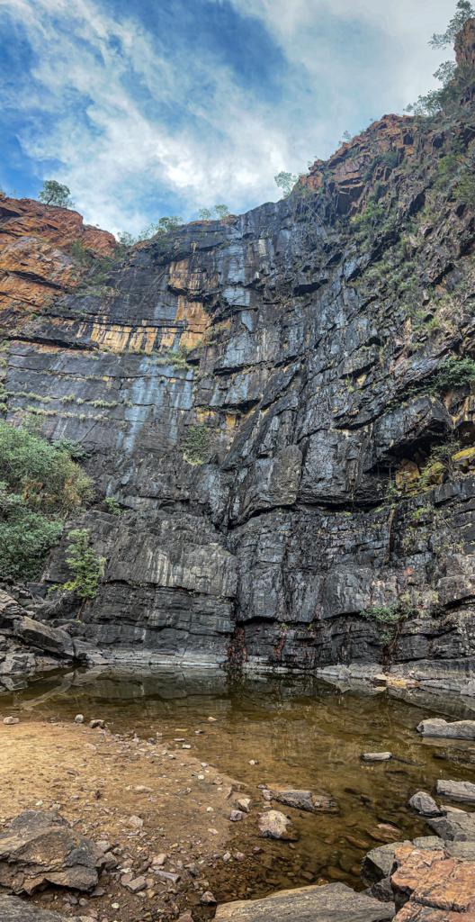
And then to Mayigba (Middle Springs) down a very sandy track that was very 4WD. We came to a fairly wide sandy water crossing. Not knowing how deep it was, we stoped And sure enough another car came along and went through, so we could follow. And so glad we were able to. It was beautiful.
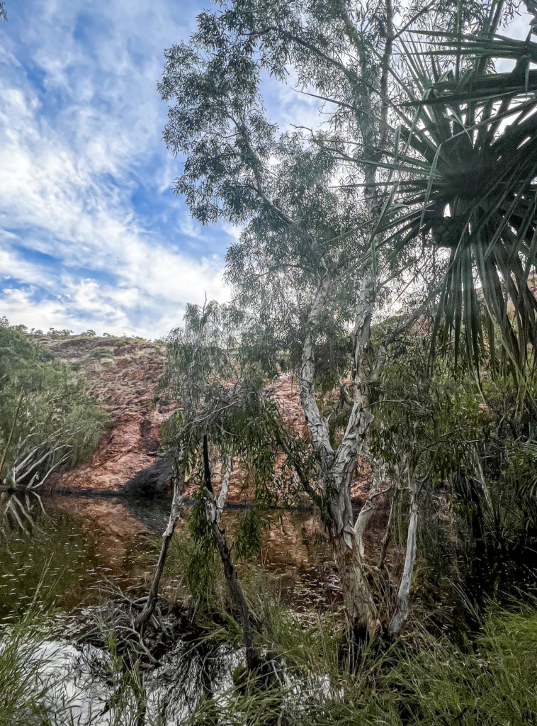
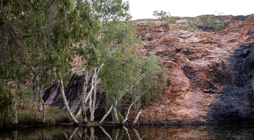
This place was very different. A huge long pool with a sheer orange cliff face at the back. The side were so heavily covered in stunning paperbarks and some palms. There would be many waterfalls in the wet, but today it was shady and peaceful. Up above there was a series of waterholes.
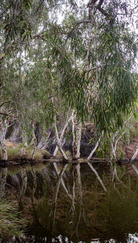
The bird and insect life was amazing. It was so idyllic.
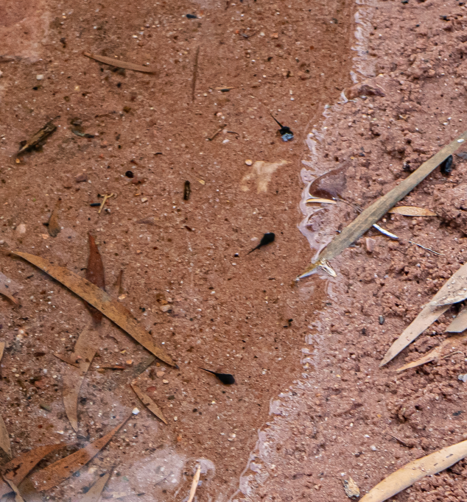
Until I realised the many tadpoles in the water, and the small frogs hoping around were actually….. the evil spawn of Cane Toads. I was irrationally angry at them. They have marched across the country to this super remote and isolated place. Destroying so much in their wake.
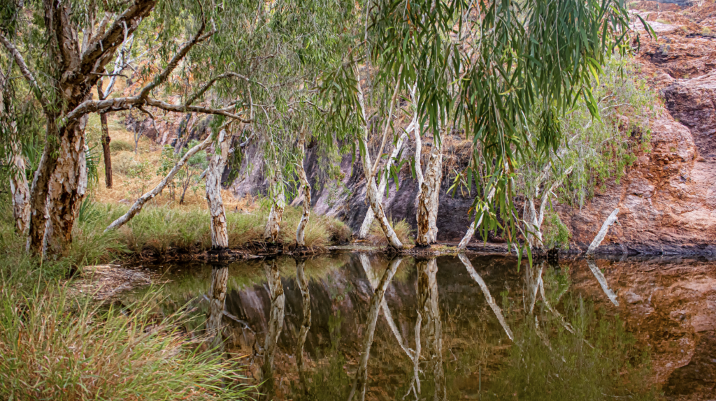
Driving back we saw a few Red kangaroos and may flocks of beautiful parrots, black cockies and more.
And just like that our loop drive had us at Ivanhoe Crossing again. this time there were about 5 groups of people. Out on the causeway, many meters from anything high, standing ankle deep in water – 2 weeks after the Croc ate the dog!
Purnululu (AKA Bungle Bungles)
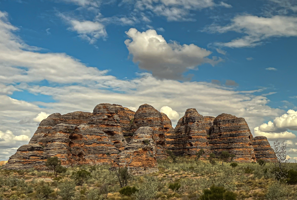
Situated on Kija and Jaru land is Purnululu National Park. Home of the famous Bungle Bungle Range, the amazing 300 metre high stripped bee hive domes rise up from the semi-arid savannah grasslands all around.
It’s 300 south south West of Kununurra – a 6-7 hr car trip as the road in takes 2 plus hours to drive the last 60 ks.
The Kija and Jaru people have lived on these lands for 40,000 year.
This area is obviously of great importance to these people and has much significants to the Dreaming Stories.
The area was first seen by Europeans during the gold rush at Falls Creek but little notice was taken of it. It wasn’t productive land. The Europeans stayed away as there was no gold and it was forgotten.
In 1983 a documentary crew working of a show “The Wonders of WA” looking at cattle stations, flew over the area and saw the range. The area then became known to the rest of the world.
So, back to the airport and into the plane. The flight path was out over the Diversion Dam (the start of it all), Packsaddle Plains and the irrigation area, down the length of Lake Argyle, over the Bow River, which of course had me singing the Cold Chisel song and over Texas Downs Station.
I’m still a bit obsessed with the amazing patterns of the farms.
Sandalwood is one of the main crops grown. Normally a sandalwood grows for 30 years before it is harvested. Here they are grafted onto a wattle tree. This cuts maturity time in half. Thus doubling profits.
The wood sells for a few hundred dollars a ton. The Oil, $3500 liter.
Other crops include mango’s (Kensington Prides), banana, chia, mung bean, cotton as well as many veggies.
The Ord River 650ks long. By the end of this trip I will have flown the full length and beyond as I walk some of the creeks beds in Purnululu, which are tributaries From Purnululu to the Cambridge Gulf.
Spillway Creek was on our path. Was originally Stonewall Creek, but they blasted a 2k channel to divert it and re named it.
We flew over the old Bow River alluvial gold mine. It was just a grid where they only went a few meters deep.
The first two diamonds where found by Maurine Mudridge – an employee of Tanganyika Holdings in Smoke Creek near the main Argyle mine. The company didn’t have the mineral lease on the area so set up a diversion as word for our. They set up a fake mine near El Questro to trick people while they got the lease organized.
Argyle is the best volcanic Diamond strike ever. In the world! Bow River became unprofitable at $40 mill a year. Argyle Mine was making $40 mill every 10 days.
Then over Texas Downs station. 1 million hectares. They run 1 cow for 20 acres. It was surprisingly hilly and rugged, thus the need for helicopter mustering.
The cattle are Brahman. And Brahman cross. Often crossed with the shorthorns that the Durack’s brought it. Brahmans are so successful not only as they are drought cattle but the fact that they are immune to the bad lethal tick. The tick that causes Tick Fever. Of the 7000 cows the Durack’s brought, half were lost. Many to the ticks.
With the mustering there is a honesty system between properties with tagged cattle. It mustered they will take them to market and give cash to the owner. If they are unmarked cattle……. it is finders keepers.
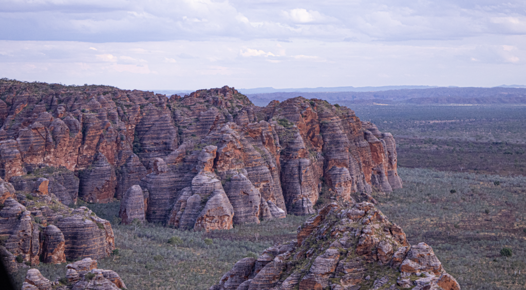
Then over the gullies and canyons of the Osmond ranges. Which was once the size of the Himalayas. What we see are only the stumps left from erosion.
And then over Purnululu. 240,000 hectares inside with the Bungle Bungle Range being only a small portion of that.
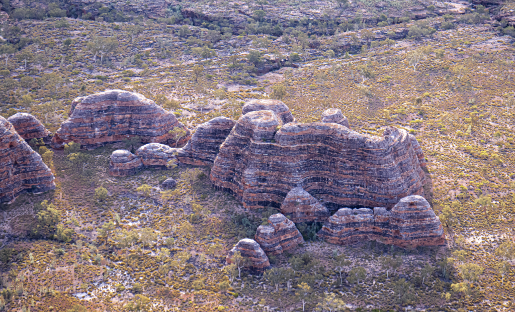
After arriving at Bellburn Airport we hopped into our luxury 4WD truck/bus and headed off for our first adventure.
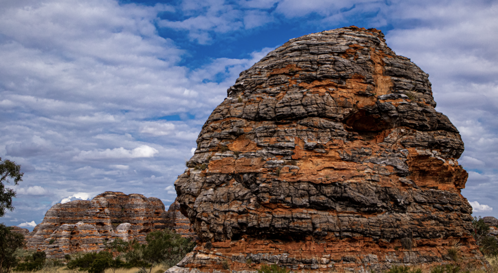
2A walk to Cathedral Gorge was first. This is on the southern end of the park and is home to the classic and famous stripped bee hive domes!
There they were. Just all around us as we got out of the bus. A 2k walk up a dry river bed. The walk was beautiful. A comfortable stroll along a good path (apart from one section with stairs and climbs). Stinking hot and unusually humid but so worth it. The rock along the way were stunning. Red, striped, full of texture. There were a lot of dry river beds that you could imagine being wild rivers in the wet, and a number of waterholes. You could see the power of water as an erosion factor with the deep swirl holes where water rushed around.
We walked across the area that Qantas used to make the latest add. And looked at many local plants and some rock art.
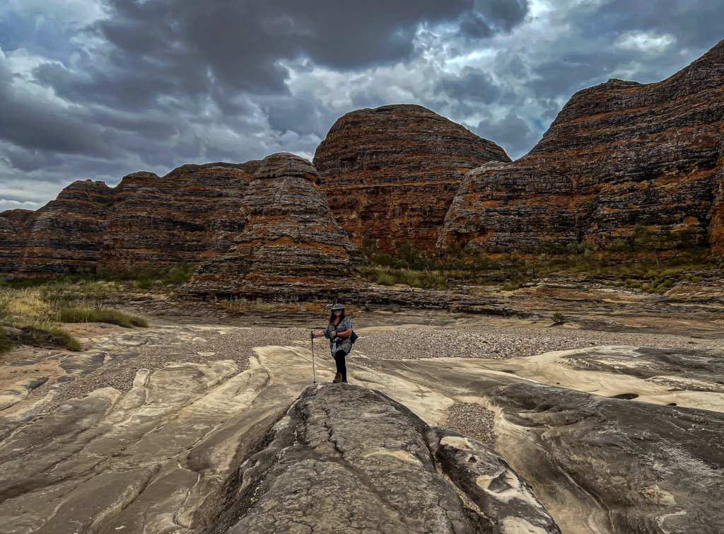
We saw many termite nest, everywhere, including way up on some of the domes.
The termites here are very opportunistic. When it’s time to fly from the nest they do. Where ever they land, if a pair, they set up shop there. They don’t plan it. Or pick a good spot. Although the ones that land up high as very successful as predators cannot get them.
These guys eat fine dead plant material. Not wood. Spinifex is perfect.
Amazingly they have a 30-50 year life span. They are also misnamed. Closer to cockroach than ant.
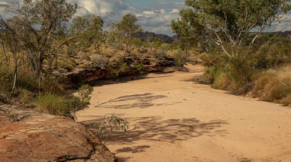
And then the trail we were following opened up into Cathedral Gorge. A huge open area with an amphitheater and a huge overhang. Famous for its acoustics.
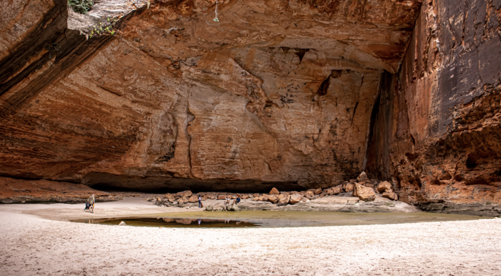
We were lucky enough to have a Country Singer, some well know star, up in their doing a recording. The sound was magic.
We spend half an hour looking, listening and eating our picnic lunches. And of course guzzling lots of water. We all carried our own water and lunches but the poor guides had to carry their own gear plus an extra 4 litres of water, first aid kits, sat phones, lunch for the people “who just couldn’t manage” and a defibrillator.
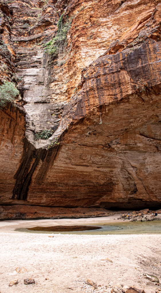
The walk out was much quicker as we didn’t have to stop for quite as many photo…well most people didn’t. And only two members of our group suffered from the heat and needed a bit of help. What an amazing 2 ½ hrs.
Back to the airport for our helicopter flight over the Bungle Bungle Range. Just because you have too. Yay. Another ‘doors off flight’. But this guy was much more gentle on us. Didn’t flip us around with figure 8s. Mind you that meant we didn’t see much.
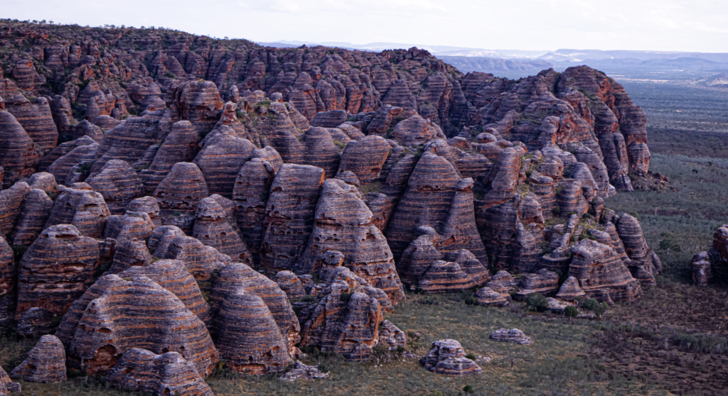
The rocks were amazing. The classic Bee Hive domes are only in one section, the south east. The rest is the most amazing plateau sticking up from the flat ground. On the top of the range you can see all the fractures where the erosion has allowed the domes to be formed.
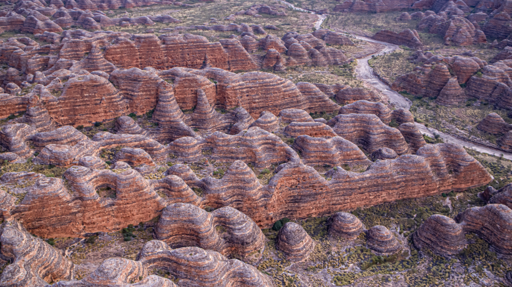
We flew over many features …. Red Rock Canyon. Valley of the Giants. One dome that was struck by lightning. A big chunk exploded off exposing the white natural colour of the stone. Like Uluru the stone is white but the high iron context rusts, along with red sand blasting into it from the Tanami, giving the red look.
The “natural holding yard” that stockmen / drivers used to rest cattle in. Just like a box canyon in the western movies.
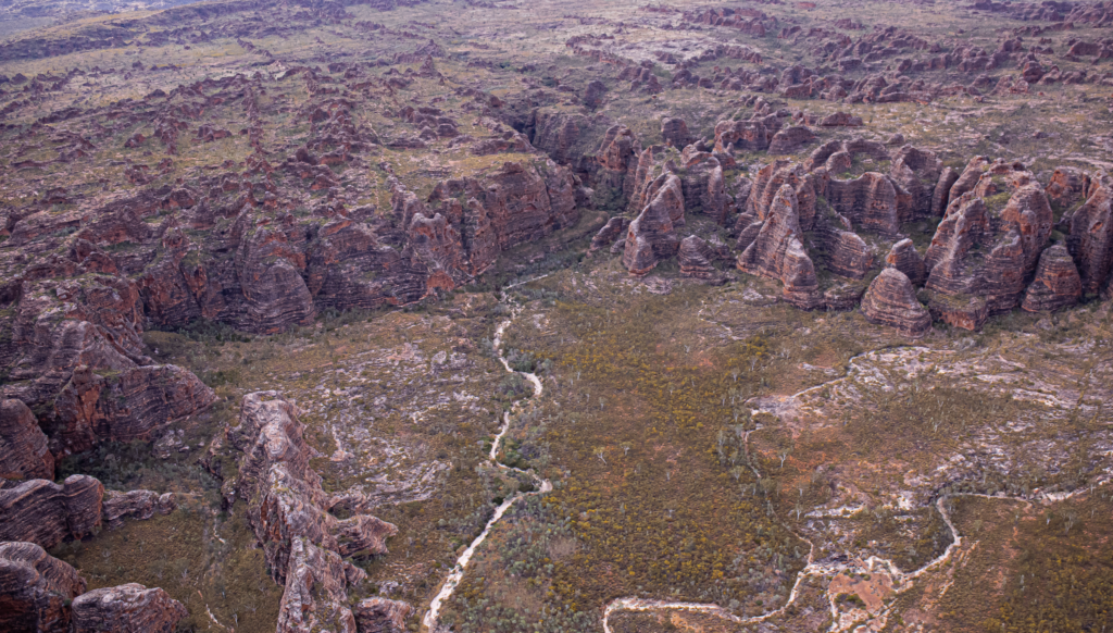
Pretty amazing.
Then to the accommodation. Savannah Wilderness Lodge.
As we drove in, we saw a lovely set of lounge chairs and tables set up in the river bed. How pleasant. Must be an amazing place to sit. I looked at the river bed and thought it would be a great place to try some Astro Photography.
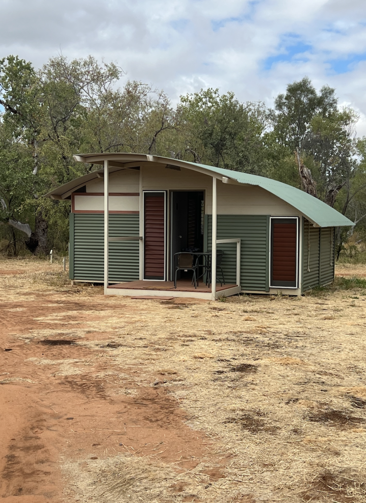
The accommodation was lovely. Freestanding permanent “tents”. Made of tin and insulated. Huge soft bed and great en-suite.
A huge deck with shade covers was tucked under a spectacular Ghost Gum. Huge and home to many birds. A huge nest up high. It spread over the whole communal area protecting us. That tree had some stories and had seen a thing or two.
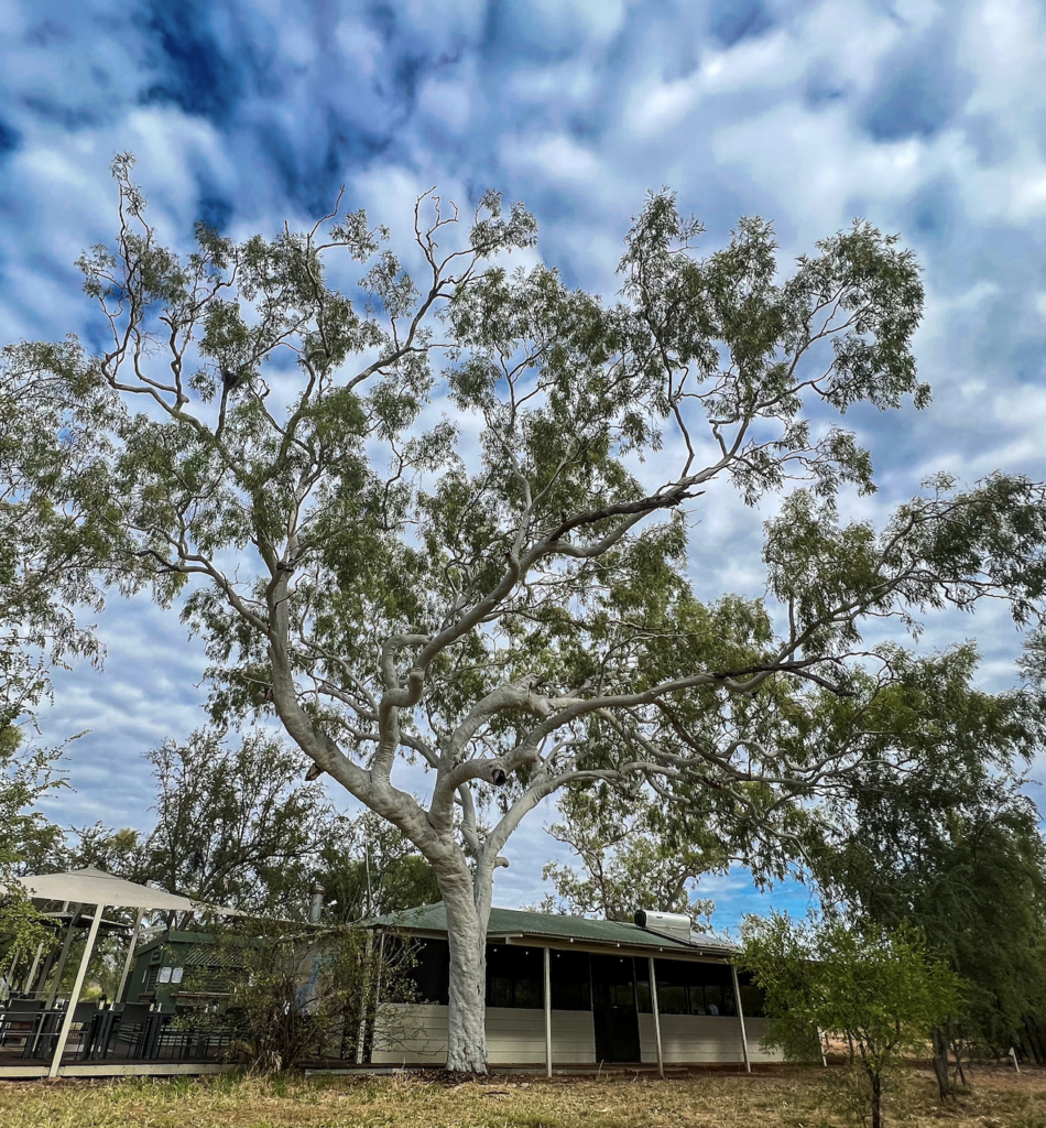
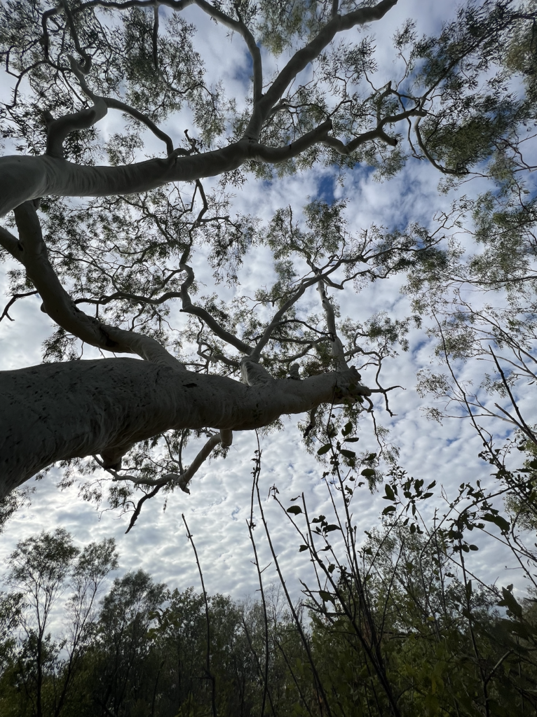
The place is an eco-lodge and runs on solar. Batteries for night power so fans not air conditions. The walls have heaps of louvers so air flow was very comfortable.
There were two other groups staying here.
At sunset we walked up to the sunset spot. One of the groups were up there and after I took some photos for them, they invited us for a drink.
Dinner was a lovely affair all sitting under cover around the fire pit. Yes, you heard that right. A fire pit!
The humidity kept rising. And rising. And the clouds rolled in. Lucky it was the dry and was not going to rain for 5 more months.
Day 11 3rd June
But….big rain fell during the night across the whole region. Huge rain. About 30 mm. Dumped down from about midnight to 5. Was lovely sounding.
There was a truck like noise at 6.15 am followed by much excitement from the staff. The dry creek bed turned into a raging river. The afore mentioned lounges went tumbling past. The table caught on a post.
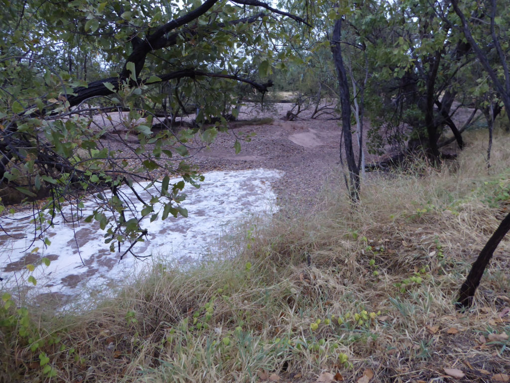
All creeks and crossing in the park were flooded. And we were flooded in. The people leaving today had to stay and miss their next place. The park was totally closed.
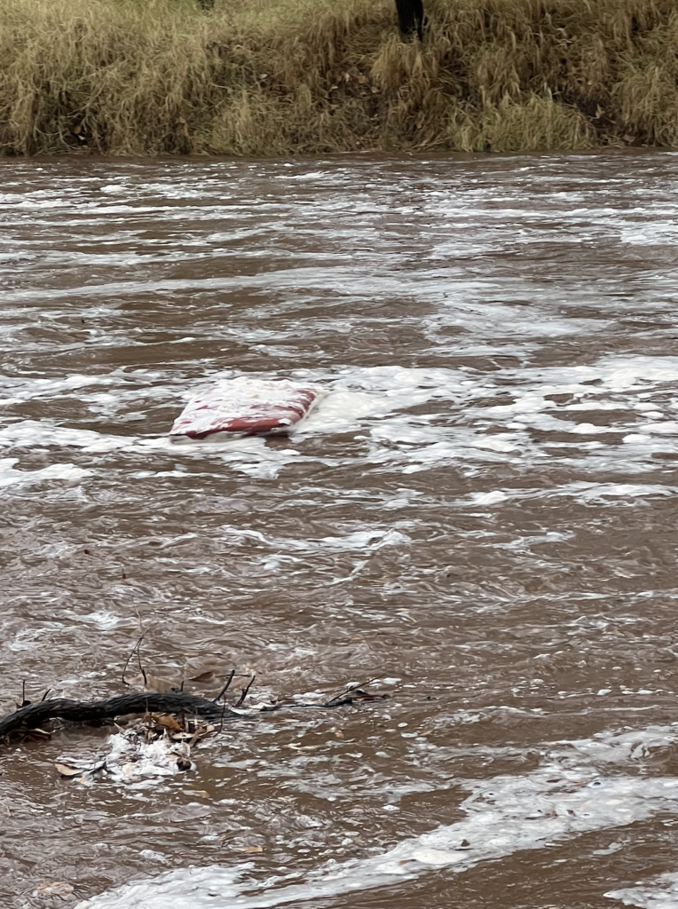
Sadly our Echidna Chasm walk was off as it was cut off as well. Rivers were flowing through both Echidna and Cathederal.
Bugger. I so wanted that walk to Echidna gorge.
Rangers came in to check roads (and for their daily breakfast) and at one crossing the water was over their bonnet. At another it would have been over their roof.
So today became a rest day. We all kept going down to the now river and watching it rush past. And then watched the level drop over the day.
On the positive side very few people have seen this river up as the park is closed in the wet. They have never had a lodge full of people see it before. None of the current staff had seen it.
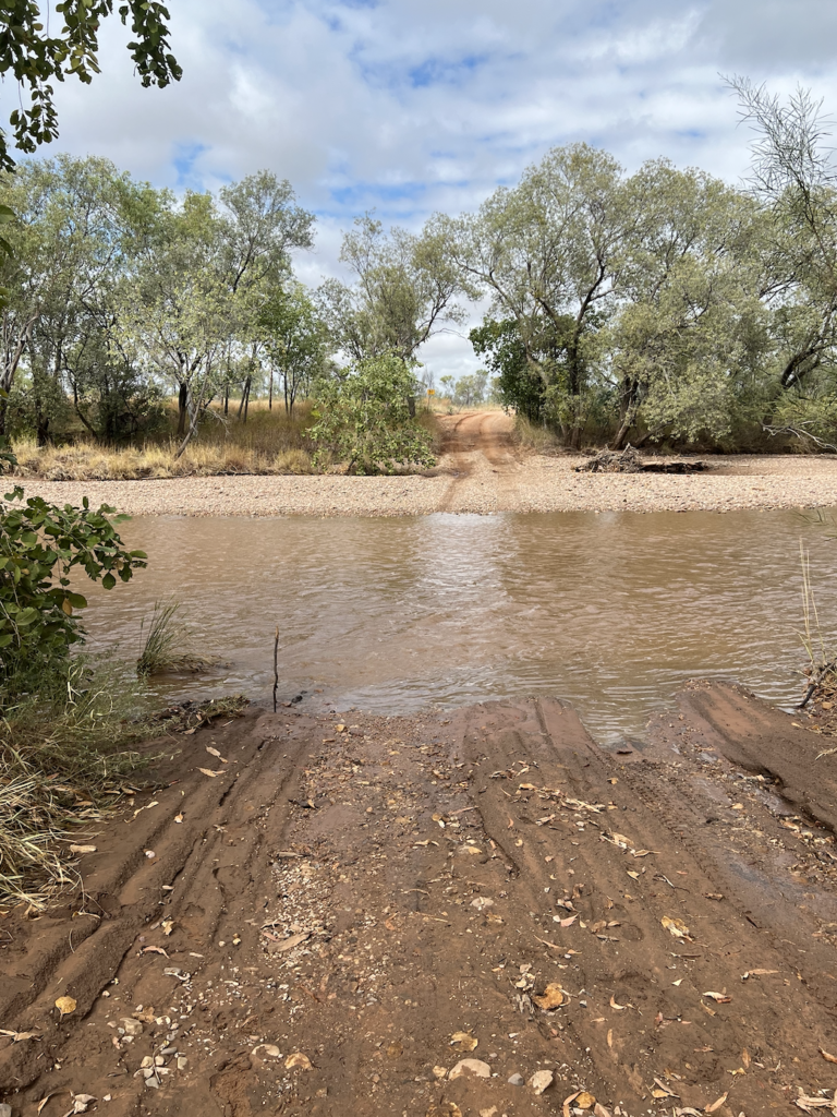
We were stuck… but like any good tourism place they rushed around and organised other lovely things for us to do.
Cherylene did a demo of her “damper”. She makes it very wet (just SRF Flour and water) and drops it in small drops into hot oil. Crispy and light. I talk to her about “my Dad who makes a lot of damper. But we call it Johnny Cake”
“Yes” she said. “Damper is for the tourists. We call it Johnny Cake”.
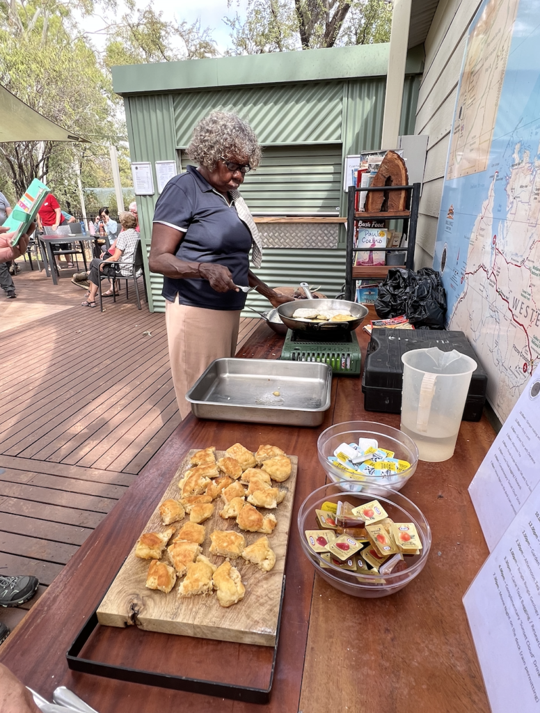
And Lemon Grass tea made with fresh picked lemon grass.
We then had a picnic lunch. It was at the normal eating place but they had already made up the lunchboxes for those of us going out on walks.
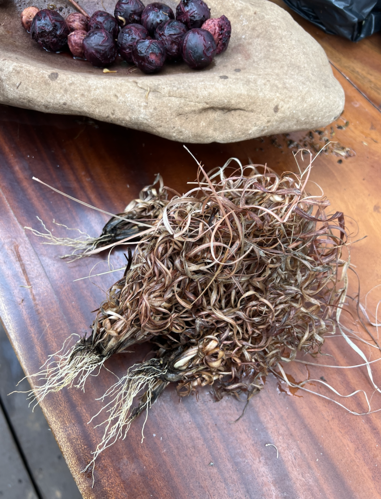
Cherylene then took us for a walk around ‘the garden’ AKA bush to look at edible plants. We found Bush Coconuts, sandpaper tree with leaves that were very like sandpaper. They use them in art work and tool making and we all filed our nails.
Congaberry, that are cooked and eaten and good as a Mossie repellant. And Emus Tucker berried. “Don’t eat them….. Laxative. poop”.
We then had a geology talk. Fantastic
This story began 1.8 billion years ago when the Kimberly Plate collided with Australia, forming the Osborn Ranges. Osmond Range was huge. Bigger than Everest. You can see the arch of the plate on a map almost following the Gibb River Road.
It also formed the Carbon Ranges around Lake Argyle. The Osmond Range is very much in decline – like most of Australia’s ranges. As the Osmonds eroded away, two very distinct landscapes were formed as the debris fanned out. The larger heavier material staying close and the lighter sand spreading further.The southern end mainly sandstone. The northern end mainly conglomerate.
The Bungle Bungles are the best example of stone cast erosion in the world. The Classic stripped rocks were laid down 360 mill to 350 years ago with the lighter material that travelled further- mainly sand.
It was a sandy beach formed over millions of years in a huge depression. This sediment was laid down over about 10 million years. With layer after layer being added on top over the eons.
Over some periods of time, maybe 100,000’s of years, maybe more or less, lots of dry sandy material was deposited. At other times a grey clay like material was deposited. This happened many many times causing the layers. The sandy material dried hard and fast. The clay material held much more water and dried out slowly. Cyanobacteria established itself and thrived in these damp clay layers.
Cyanobacteria are the black lines you see on waterfalls and are also the black bands on the domes.
Over the next many millions of years those layers became compacted and became sandstone. A big (giant) depression filled with stripped sandstone.
Following that were two major uplift events – millions of years apart.
The first fractured the block causing “crazed” lines all through it. One of the leaders described it as a half a mango – with the score lines through it. Thees was the craze lines.
The second event pushed the whole block upwards – not in one fast dramatic lift but slowly over eons. Like a thumb pushing under the mango. This caused it to rise and have huge columns of fractured stone sticking up. That’s is where it weathered. And carved.
This rock is particularly fragile and friable. Very weak sand rock. Super delicate. The rock on the south east end are facing directly onto the Tanami Desert. Huge hot winds over millions of years blew in through the ractures nt eh rock and sand blasted the rocks smoothing down the edges. That along with the heavy rains and rivers also carved the amazing domes we see get to see. Mechanical erosion from the sand. Hydraulic form the rains.
These are called Cone Cast and are very unique as its very unusually to have horizontal bands, and to have so many and so much of it. It is rarely seen in sandstone, usually limestone.
Sandstone is actually white – like the sand we saw in so many places. The red dirt blows in from the desert sand both oxidizes the iron in the rock and stains it. The red skin on the domes is only about 1cm think. So absolutely no walking, climbing etc.
Toads were to be our next activity but a talk about them first.
Filthy Cane Toads were introduced to Australia to fight cane beetle. Cane beetles live in the top of sugar cane plants. Toads can only jump about 15cm high. So that wasn’t a well thought out plan.
They made it across from the Northern Territory in 2009 and into Purnurlulu in 2012.
The problem with toads isn’t what they eat it’s what eats them. Them and their poisonous glands. There are no native toads in Australia so wildlife hasn’t evolved not to eat them. Their effect on crocs, snakes, lizards etc has been devastating. And we all know what happens when you remove an Apex Predator from a system. Devastating.
Crows have learnt to flip them over and just eat the belly. Rikali (native water rats) can eat them. But basically the toads are now thriving.
Scientists are collecting toads, removing the poison and mincing them up to make sausages laced with lithium chloride. These are being air dropped in form of the march of cane toads to the west. It is hoped that animals will sniff the sausage (that smells of cane toad), eat it and become painfully ill. They should then associate the smell of the toads with being sick and not eat them, teaching their young to avoid them.
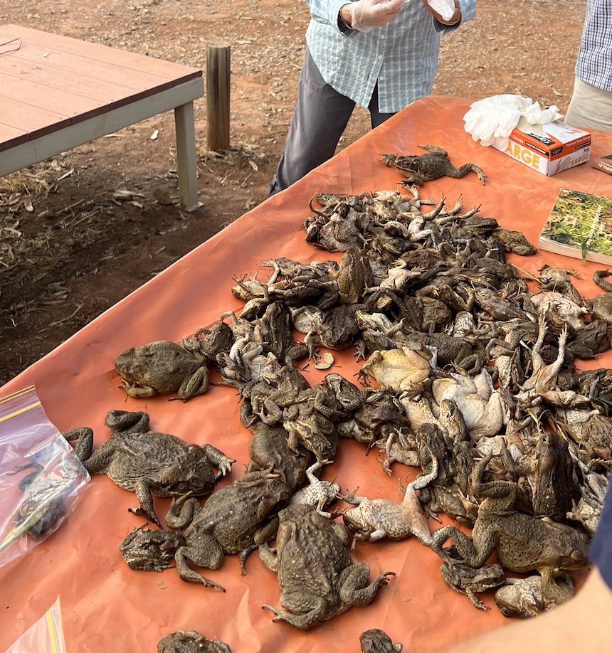
The camp needed to ‘bag up’ 500 toads for a research program. The toads were sleeping and we could help bag them up to send away. One in each bag.
But suddenly our talk had to end.
“Quick, the toads are waking up”. Last night the staff did a hunt and collected the 500. They then went into the fridge to make them sleep. The research need them bagged in separate plastic bags, so they could be frozen without sicking together.
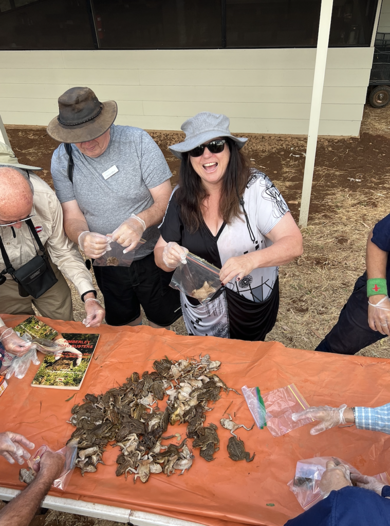
So there we were, with a table of 500 toads, putting them into bags and sealing them. FUN. When we ran out of bags I had the wonderful idea of putting them in the used gloves and tying them up. So we managed to bag them all.
I was maybe a bit more enthusiastic that I should have been but I just hate them and the damage they are doing
When I was booking this trip I realised that the third day was not real. You had breakfast then flew back to Kununurra on the early flight. I asked if I could pay more and go back on the afternoon flight. “No, it could not be done”.
When we found out we were flooded in I asked if they could ask the airline (who is all part of the same company – Aviair, Savannah lodge, Helispirit, BB tours and a hotel in town – all owned by a family that started tourism in Kununurra) if we could do the afternoon flight and still see Echidna Gorge. “Yes, we have organised that. And we will send you two out with a guide for the day.” Cheering.
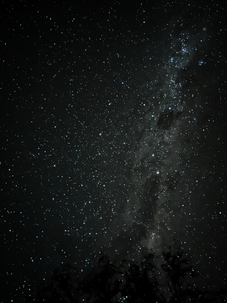
After dinner I went out to try Astro Photography, the sky had cleared and the stars were nuts. SO clear and so many. I didn’t take the big camera as I keep taking it places and get clouded out. But happy with my results.
Friday 4th June,
Day three of Purnululu.
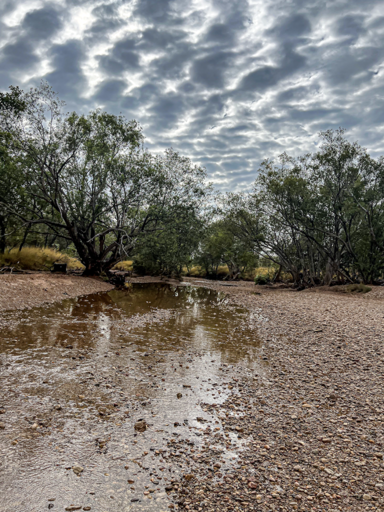
Watching the water levels drop was equally amazing as watching it come up – if not as dramatic! By day 3 morning (as I had no idea of day names) it was back to a small creek. In a few days it will be dry with scattered waterholes.
SO today was out private tour day……And what a day it was. We farewelled all our new friends from the bus tours and got ready for our private tour. 7 hours of us, a guide and a 4WD.
Apart from the danger of fools crossing rivers, they closed the roads to prevent damage. The road is only graded once a year in early April (the grader has to travel from Kununurra) and is so easily chopped up. By the end of the season it is terrible.
With all the rain falling many operators realised they may be trapped. One tour guide packed up his camp at 4 am and drove out in his big heavy truck bus. The damage he did was horrid. But the rangers were able to ID him and have police waiting at the main highway. Yay.
Instead of doing a group walk with 20 others to Echinda Chasm we headed off to the northern end of the park and saw many places. How lucky am I!
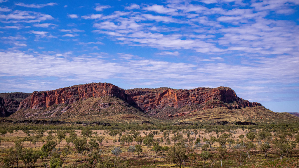
Kungkalanyi Lookout was a steep walk up a lookout at the top of a spinifex covered sandstone ridge to see the top of the range, and to look out at the “chocolate sandstone” ridge. Closer to us was the 520 millions year old ridge of much older grey limestone ridge. It was the reef ringing the inland sea. In the distance you could see the stumps of the once huge Osmond ranges – the parent of the Bungle Bungle Range.
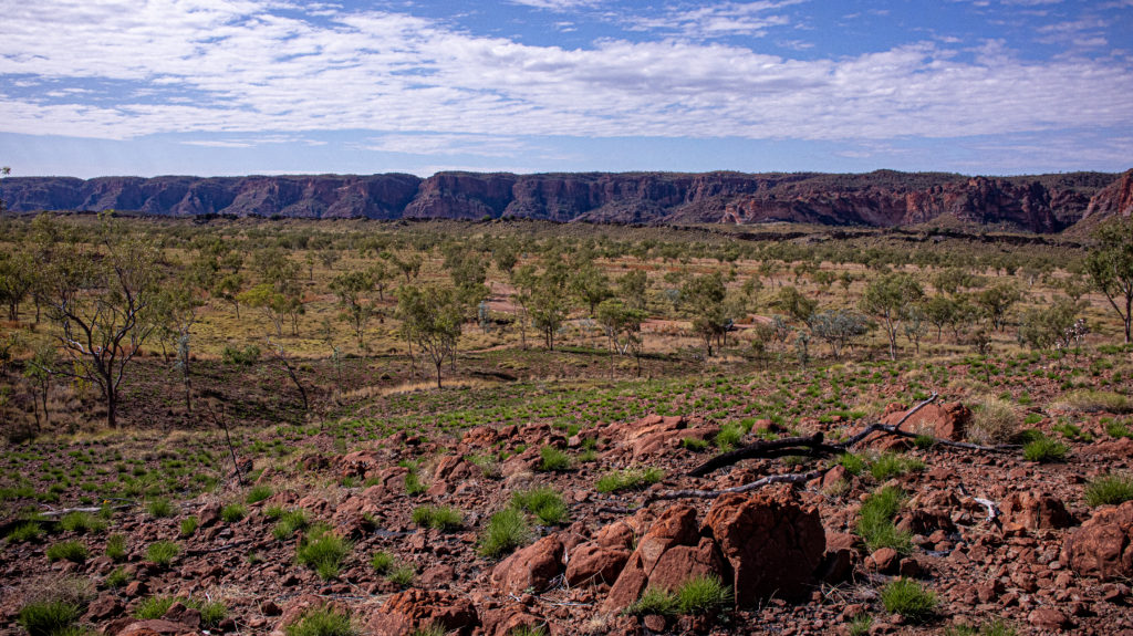
Many wild flowers were starting to bloom.
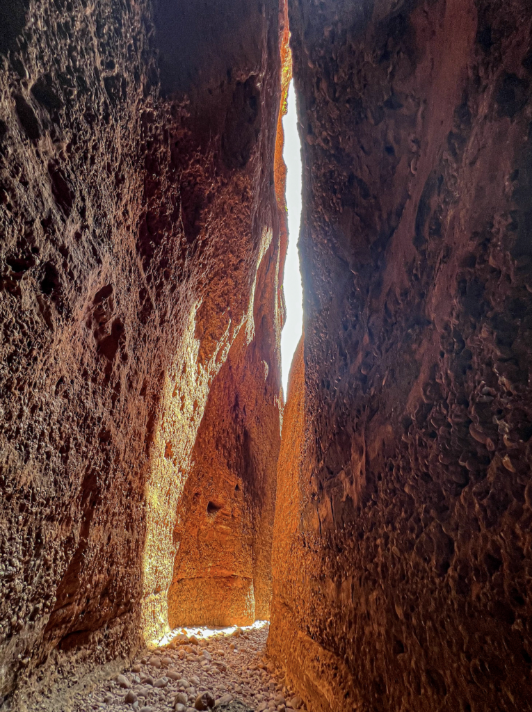
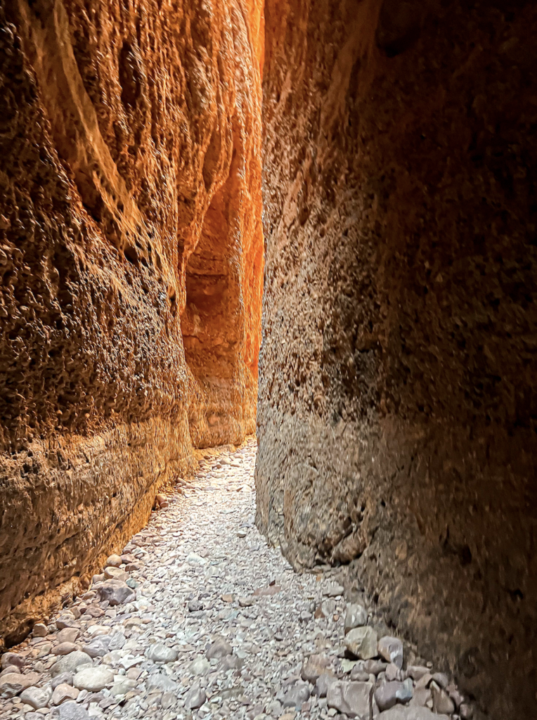
And on to Echinda Chasm. A 200 metre deep chasm with the most unbelievable colours, rocks and light shows. It’s only one meter wide in places. This area was one of the reasons the park was granted World Heritage listing.
This area is so very different to the classic domes at the southern end where that is sandstone. This end is closer to the Osmand Ranges and therefore is formed out of the heavier sediment. It is all conglomerate stone. Another of my favourites. The original concrete.
Once formed through compression of the accumulated heavy sediment and some sand, cracks were opened into chasms with only the hydraulic effects of water (but as I saw, when there is water there is much water). This area has steep straight walls as opposed to the curved walls of the domes, caused by the Tanami winds.
The walk in is only 2 ks but along rocky dry creek beds. The conglomerate boulders along the way were fantastic.
We saw a Bower belonging to a bower bird with a penchant for pale grey.
His stone collection was impressive.
The walk up the river bed eventually enters the chasm. Incredible. And them Bam! We were at the sheer stone walls. And in we went.
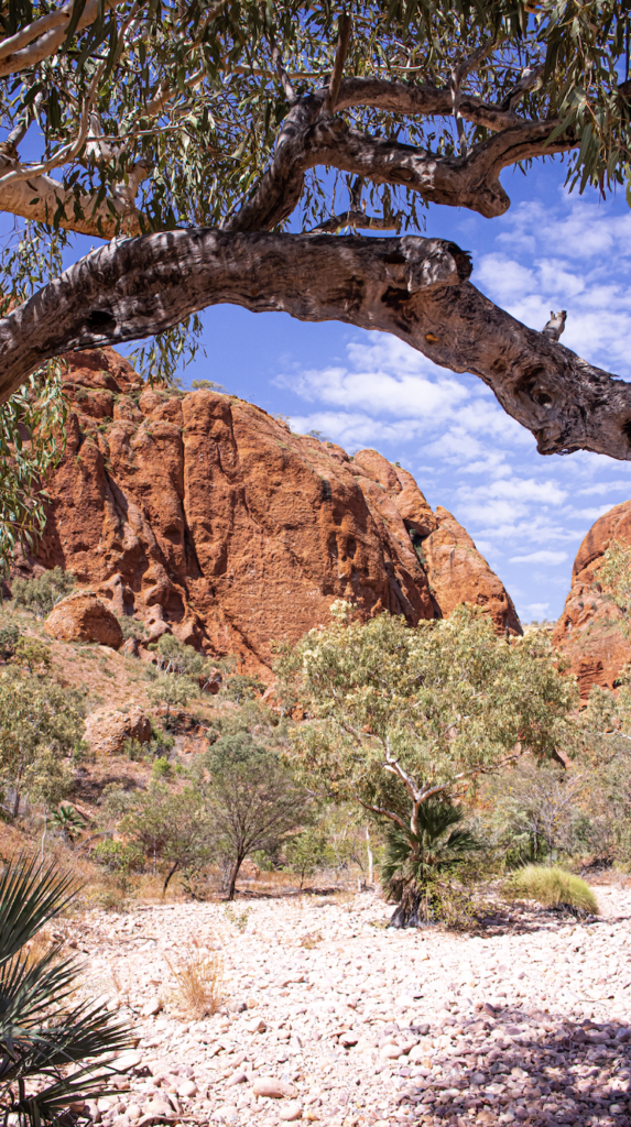
Incredible. The colours were insane. So orange. So intense. We couldn’t go all the way to the back of the chasm. Yesterdays rain and turned some of the areas into 500 mm waterholes.
We timed our walk into Echidna Chasm to be there for the Solar Zenith. The sun at its highest point. The colours were so strong. The photos look fake. We sat in the wide section and watched the shadows move from one side of the chasm to the other. Pretty magical. Was hard to leave such a stunning place.
Osmand Lookout was on the way out.
Another short but steep slog up to a fantastic lookout over the Osmand Ranges. Made of some of the oldest rocks in the Kimberly (and therefore the world), and the most remote. 1.885 BILLION years old. The range are ‘fold’ mountains so lovely and curved (as opposed to all the ‘uplift’ formations all around). This range includes a few pockets of monsoonal rainforest due to its springs causing permanent water and high walls creating a secluded environment.
After our lunchboxes and a cool down in the shade, we headed off to the next place.
The walk from the Bloodwoods Lookout. We did the Mimi Palms trail. The start is along the Escarpment Trail. This area had been burn out at the start of April. The area was black and burnt. But with yesterday’s rain it was sensational. The trees and the rocks had all been washed clean. The new growth was clean and glistening. It looked amazing! The colours were so intense and it looked like a stylised painting.
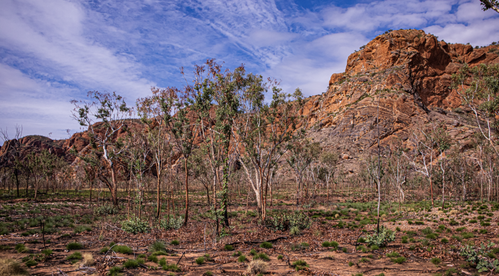
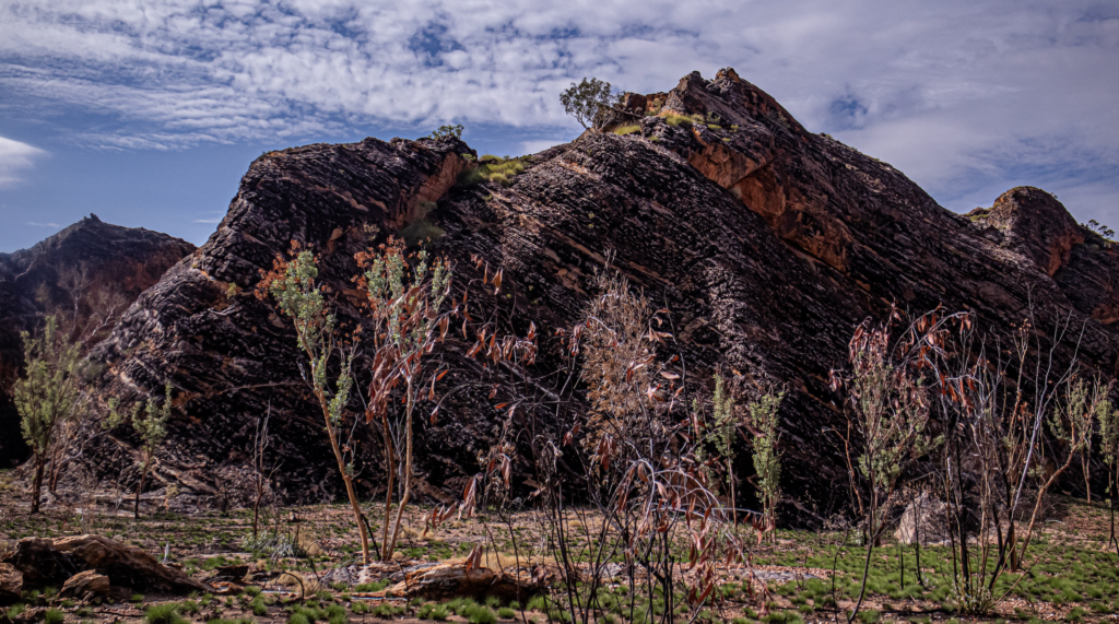
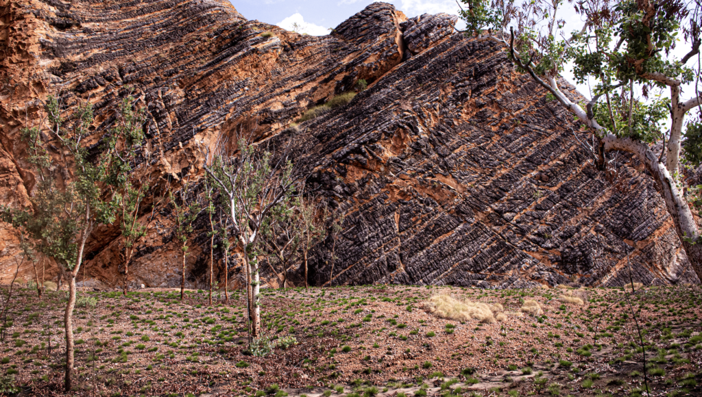
It was then a turn up a dry river bed and over the rocks. The conglomerate boulders were incredible. Talk about the ultimate recycling. Once these huge boulders were chunks of the Osmand Ranges. The water turned them to smooth river rocks, some 500mm across. Then time, pressure and more smaller debris turned them to giant boulders. And I guess one day they will be sand and the cycle will continue.
We didn’t go any further that the giant boulders. 3 and 4 metre boulders totally blocking the chasm, that you needed to scrabble over and crawl through gaps.
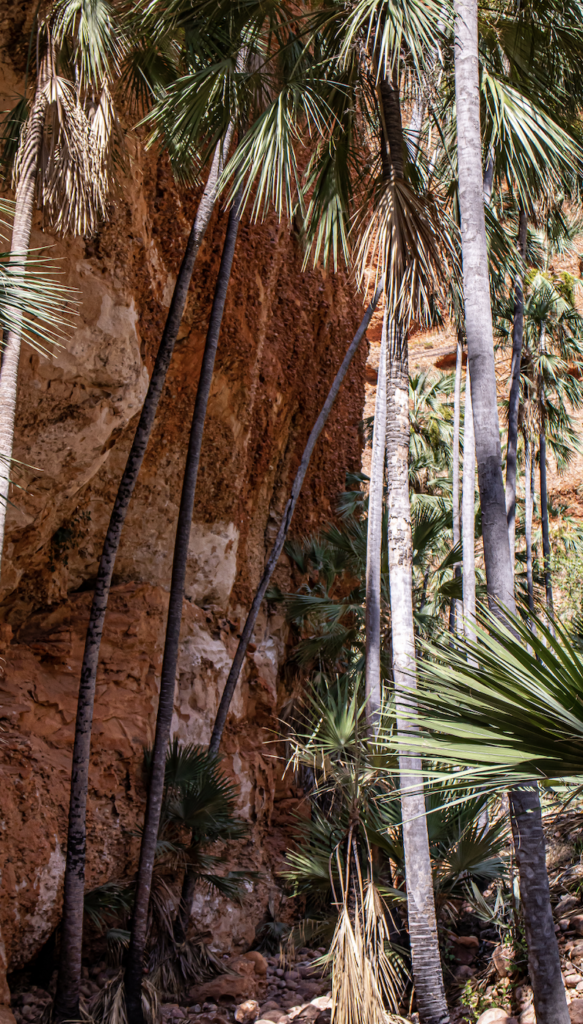
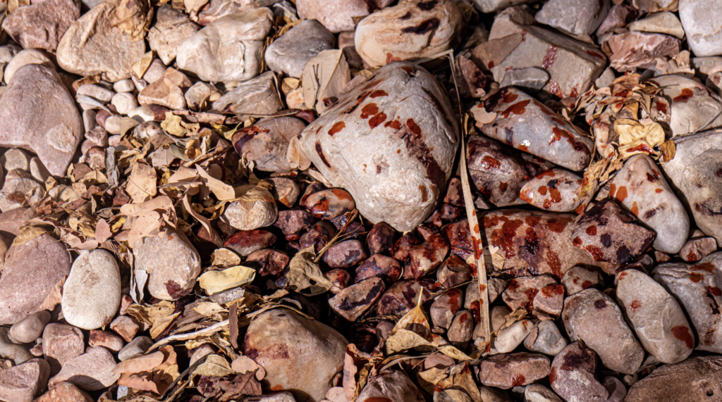
Bloodwood tree are so named as they drip sap that looks so like blood. One large tree over the path had a wound that had sealed. Yesterday’s rain reopened the wound and it started dripping. Amazing.
Driving back we saw a 2 metre snake. Whip snake we think. The guide said it is so rare to see them now as the cane toads are wiping them out. It was her first snake sighting it the park.
On one of the final creek crossing on the drive to the airstrip …… we got stuck. Grounded out in water up to about the running boards. Tried forward, tried backwards. Nope. She radioed into the base but a number of cars came the other way, hooked us up and towed us out. That was fun. Good fun. And was lovely to see how all the 4wd people stick together.
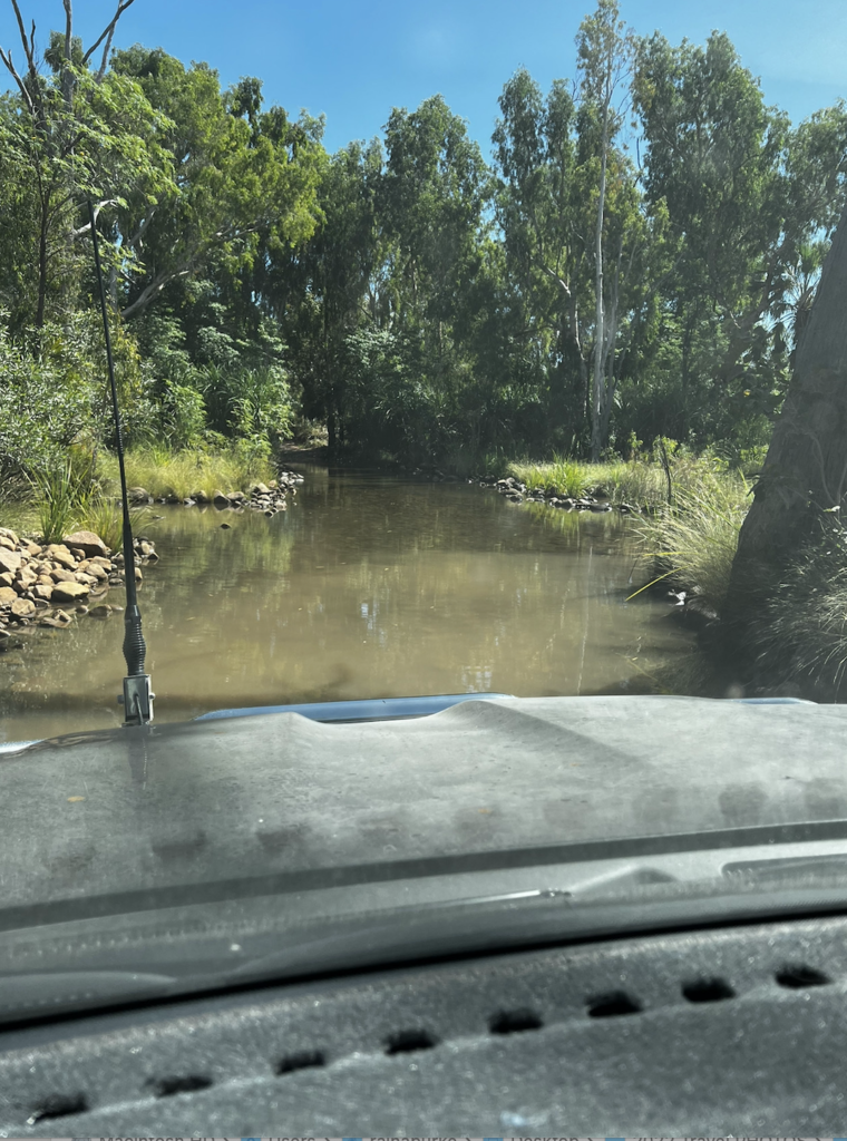
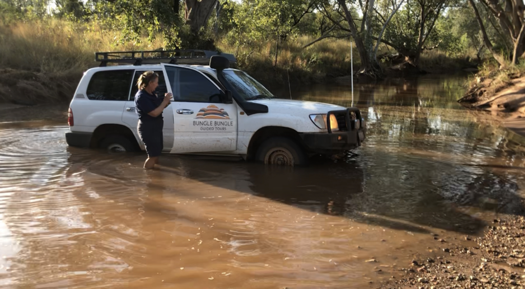
We made it to Bellburn airport and off we went. We flew over the Argyle Diamond mine. It was shut in 2020 when it was deemed unfinancial. Since it shut Argyle Pinks have gone up 900%.
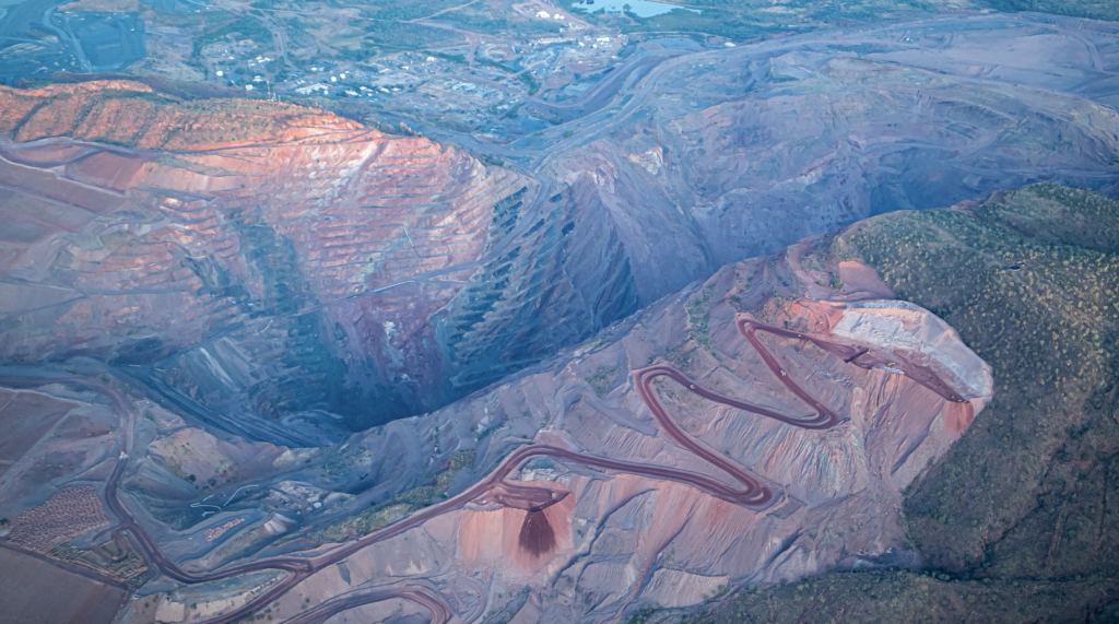
The “Pink Legacy” diamond sold for $100 million. There is still a largish crew doing the clean up. It will take three years to do that.
As we were being driven back to our accommodation, via lots of caravan park around the lagoons, a massive flock of fruit bats were heading out for dinner. So many. They blackened that part of the sky. And then two dingo just trotted across the road in front of us.
Sunday 5th June
I had moved into a different hotel for the last few night. And after hunting high and low for Finches – I got to sit out and watch a big flock of finches eating in the grass and on the sandstone wall of my hotel. Close enough to really see.
Also went for a walk around “Celebrity Park” where they get … celebrities to plant trees. Including John Williamson, Eric Bogle, a number of the Durak descendants including dame Mary author of Kings in Grass Castles.
Being a Sunday finding a brunch place was tough. Of the 7 or so cafes in town only one was open. And yes they offered us jobs. Its so sad for the businesses that although the tourists are coming they don’t have staff to accomodate them.
Dinner at my hotel was really hard, as well as being the most expensive food in town, they had the rudest staff ever. So over worked and mot took it out on the guests. Most hotel restaurants were closed to non hotel guests. But eating at the pub night after night did get boring.
Happily the other Zebra stone place was open. Rockalong Stoneworks. So good. A family business where the dad and been fossicking and making items for a very long time. His daughters did the arty work. this place was so lovely, friendly and didn’t feel like a curated museum.
He works with all the stones from the area. All sedimentary and all glorious. The kind of place you could spend a huge amount of money at.
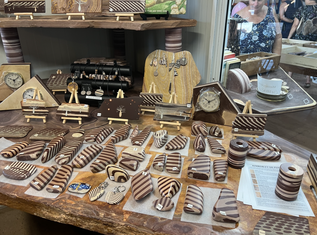
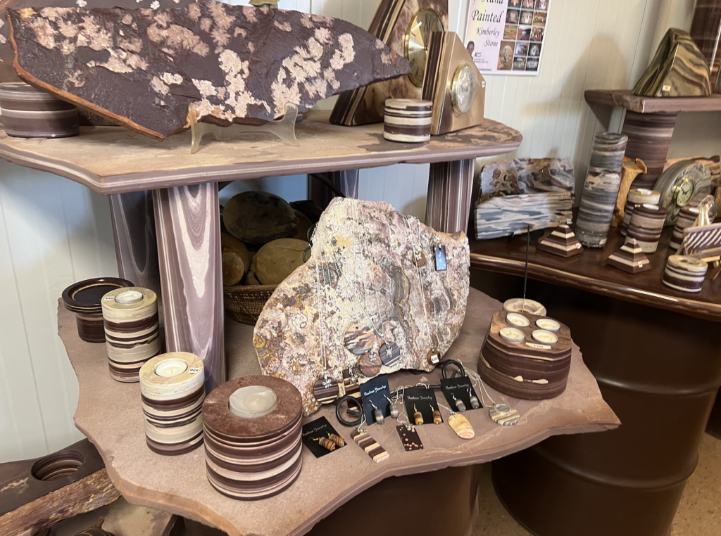
Zebra Rock – a siliceous silt stone with red brown stripes, or if cut on the angle spots, on a cream background. This is found in a few places around and under Lake Argyle. Hard and stunning and around 670 million years old.
Okapi. Very similar but a sandstone, with less uniformed stripes. So was named after the zebra like animal with irregualr stripes.
Astromonite – as a charcoal stone with pinkish spots caused by bubbles of ‘acid rain’ from volcanoes being trapped.
Ribbon Stone – with patterns running through the multi coloured rock. Much of it looks like abstract art.
Ning Bing – a sandstone from the coast north of Kununurra with amazing colours and designs not dissimilar to indigenous art.
I did bring home a few pieces. I was fascinated but the Zebra Rock but decided to the buy the many pieces I loved. Many in the $1000s.
What a trip. But most trips and with a flight and this was a doozy. From the time I got to the airport (full plane with one person doing checkin and baggage – so very slow) to the time I walked in the front door was 36 hours. Yes the same time it takes to get home from London! But at least much of it was in an airport hotel!
UNBELIEVABLE TRIP.